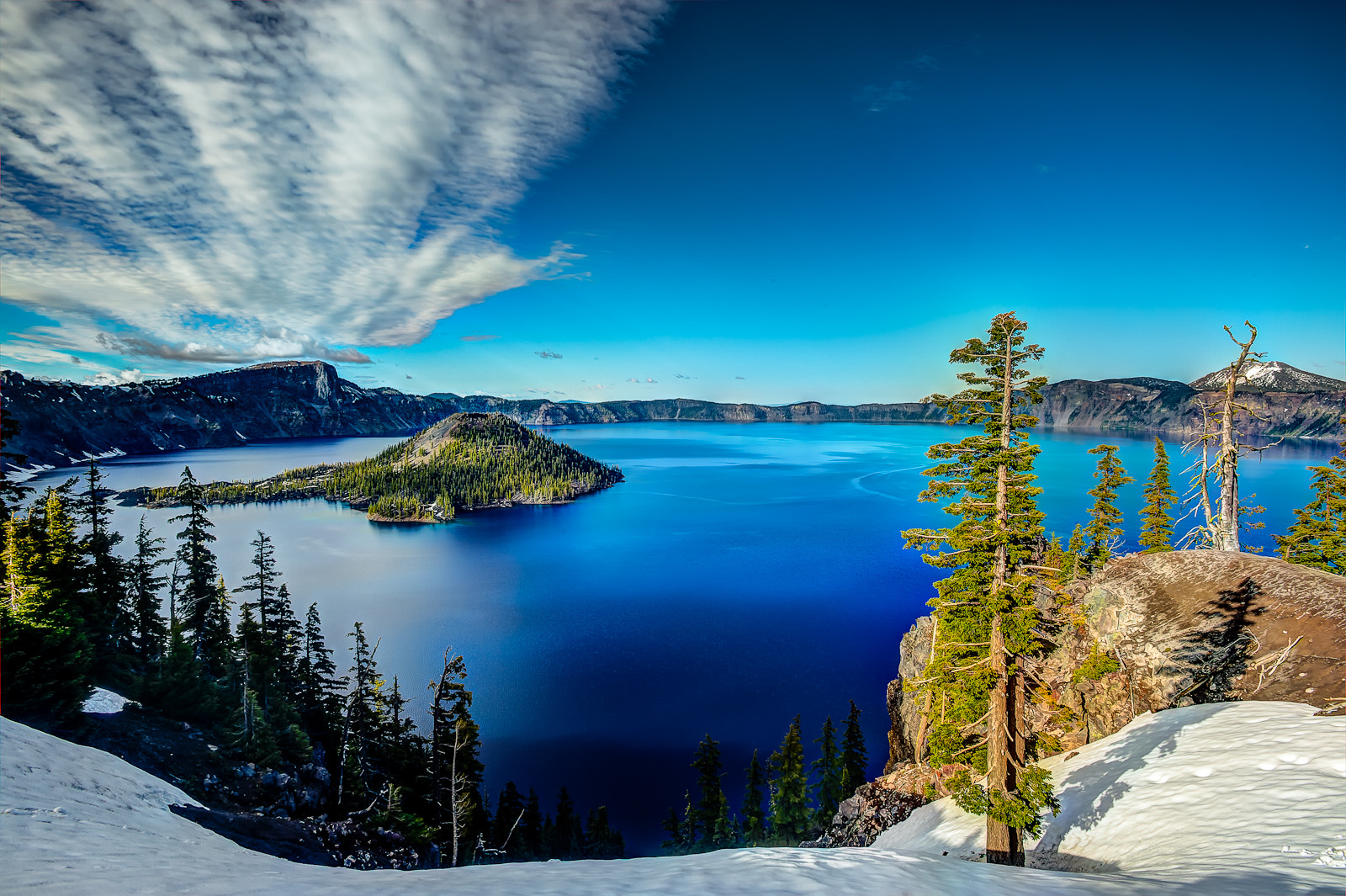
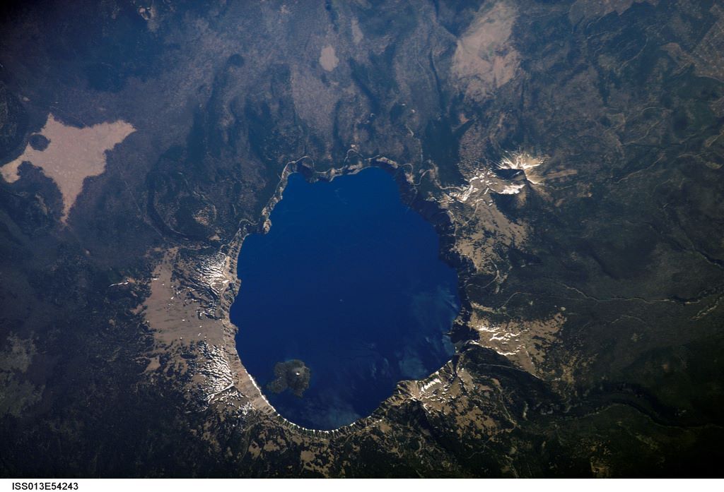
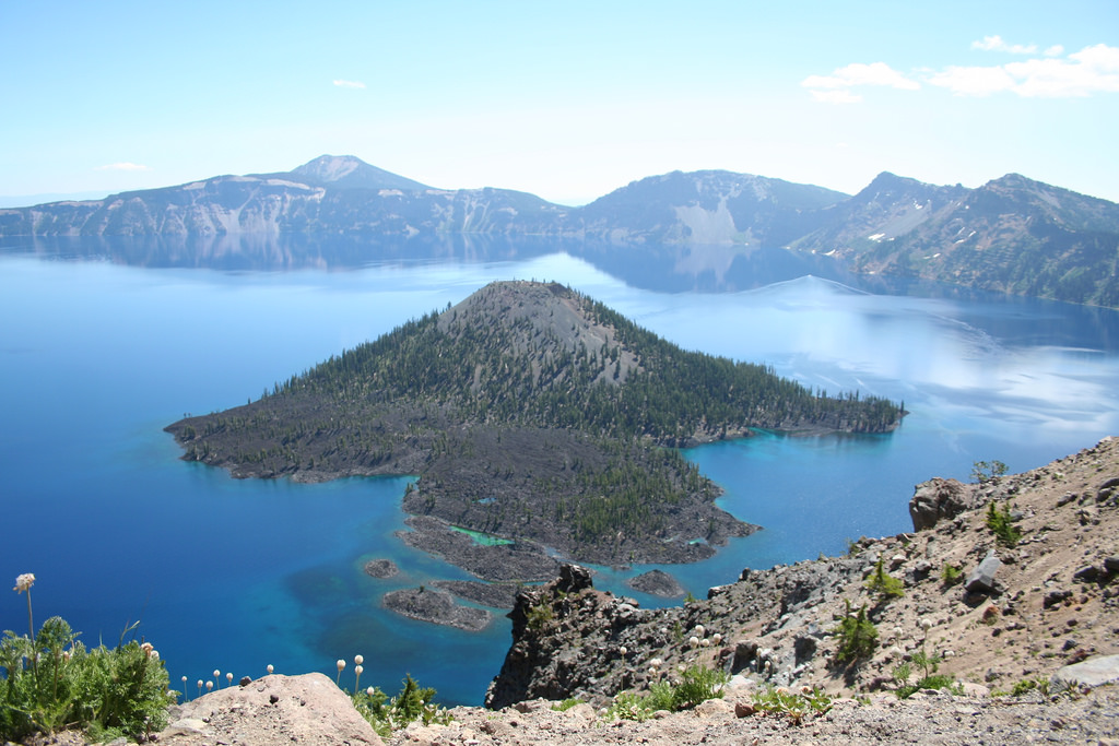
Crater Lake is the deepest lake in the United States, filling a volcanic caldera formed when Mount Mazama collapsed about 7,700 years ago. Its blue water, Wizard Island, and the jagged Phantom Ship make this Southern Oregon landmark instantly recognizable. The stories behind those features are just as striking, from ancient eruptions to a hemlock log that has drifted upright for more than a century. These Crater Lake National Park facts explore the geology, history, and living landscape behind the view.
For roads, seasons, hikes, and overnight options, start with our Crater Lake National Park guide. This article focuses on the lake’s natural features and history. Access note, verified September 22, 2026: Cleetwood Cove Trail is closed for rehabilitation, with no public lakeshore access or boat tours during the affected summers of 2026, 2027, and 2028. The park remains open, but swimming and public trips to Wizard Island are unavailable during the closure; see the official NPS project update.
1. A newspaper story helped inspire a national park
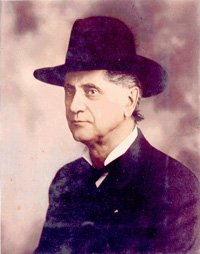
Crater Lake National Park was established on May 22, 1902, after years of advocacy by William Gladstone Steel and others. According to the National Park Service’s history account, Steel first read about the lake in 1870 while living in Kansas, in a newspaper wrapped around his lunch. He finally visited in 1885 and spent the next 17 years working toward national park protection. It is a wonderfully ordinary beginning for a campaign that helped protect one of Oregon’s most extraordinary landscapes.
2. Deep snow does not mean the lake freezes every winter
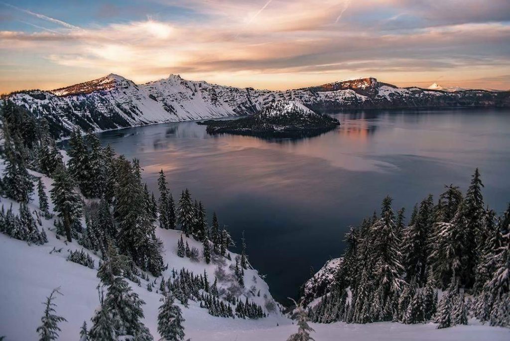
Crater Lake’s enormous volume of water helps it resist freezing, even in a landscape known for heavy snow. NPS lists the last complete freeze as 1949, so a white caldera rim often surrounds open water. The park’s basic information page gives average annual snowfall as about 41 feet, although totals vary by year. Snowfall and precipitation are different measurements: the often-quoted 66 inches refers to rain plus melted snow at park headquarters, not the depth of freshly fallen snow.
3. Crater Lake fills a collapsed volcano
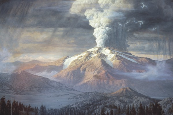
Crater Lake occupies a caldera, the large basin left when Mount Mazama collapsed after a major eruption about 7,700 years ago. The mountain had grown through many eruptions over hundreds of thousands of years and once stood roughly 12,000 feet high. As magma escaped during the climactic eruption, the mountain lost support and fell inward. The exposed layers of lava and volcanic deposits in the caldera walls preserve pieces of that much longer history.
4. The Old Man of the Lake was documented in 1896
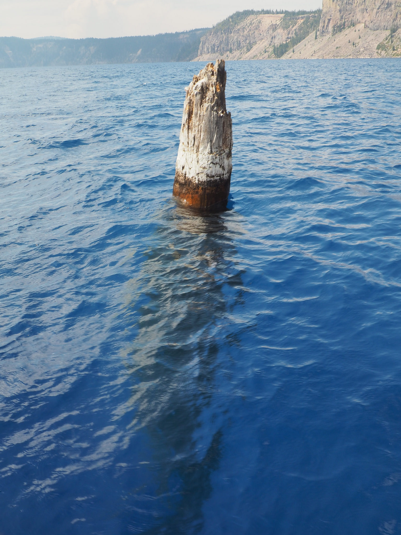
The Old Man of the Lake is a roughly 30-foot mountain hemlock log that floats vertically, with about three feet above the surface. Geologist Joseph Diller documented it in 1896, before the national park was established. NPS reports that the wood has been carbon-dated to more than 450 years old, but that does not tell us exactly when it entered the lake. Its upright position has prompted several explanations, none conclusively established in the park’s account; our Old Man of the Lake story explores the lore surrounding this drifting landmark.
5. Crater Lake has a living ecosystem beneath the blue
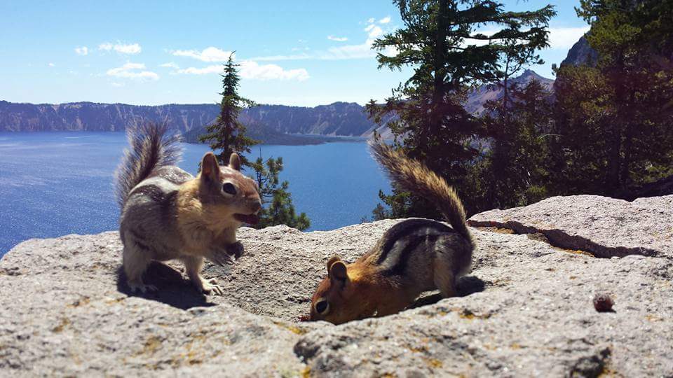
Crater Lake supports fish, plankton, insects, and an unusual native amphibian called the Mazama newt. Mazama newts are found only in Crater Lake and are a subspecies of the rough-skinned newt. Rainbow trout and kokanee salmon were introduced by people, and introduced crayfish now threaten the newts and their habitat. On land, ground squirrels and chipmunks are familiar residents, but the lake’s small, easily overlooked animals tell an equally important story about how this ecosystem has changed.
6. It is the deepest lake in the United States
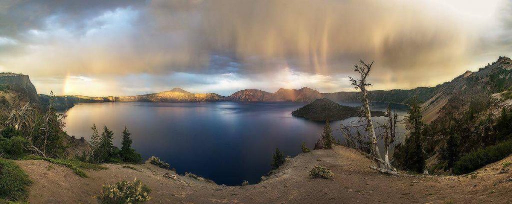
Crater Lake reaches a maximum depth of 1,943 feet, or 592 meters. That measurement describes the deepest part of the lake, not its average depth or the height of the surrounding rim. Scientists first measured its depths in 1886, while a multibeam sonar survey in 2000 mapped the lake floor in much finer detail. Those underwater maps reveal lava flows, submerged volcanic landforms, and the much larger base of Wizard Island hidden below the surface.
7. Its blue color comes from deep, exceptionally clear water
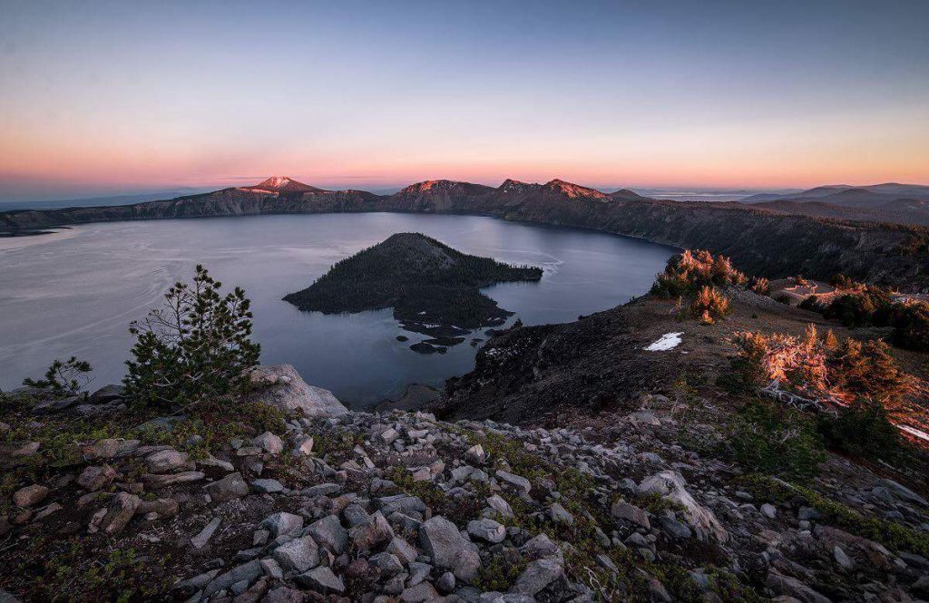
Crater Lake looks intensely blue because its deep water absorbs other wavelengths of sunlight more readily, while blue light returns to our eyes. Low concentrations of suspended material help give the lake its exceptional clarity. NPS describes average clarity of about 102 feet, although visibility changes with conditions and is not a promise that every object can be seen at that depth. The park’s long-term lake monitoring program tracks these changes, including the influence of winter mixing, nutrients, and algae.
8. Phantom Ship is far older than Wizard Island
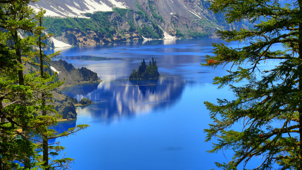
Phantom Ship is the small, jagged island near Crater Lake’s southeastern shore, with spires that resemble a sailing ship. It rises about 170 feet above the water and is a remnant of an ancient volcanic cone incorporated into Mount Mazama as the mountain grew. NPS identifies its rock as more than 400,000 years old, among the oldest exposed in the Crater Lake basin. That ancient history belongs to Phantom Ship, while Wizard Island formed after the much more recent collapse of Mount Mazama.
9. The human history begins long before 1902
The Klamath Tribes’ relationship with Crater Lake reaches back far beyond its designation as a national park. NPS educational material identifies the Tribes as the lake’s original stewards and describes knowledge of the landscape passed down for thousands of years. The name Giwas is used by the Klamath Tribes for the lake, as documented in the park’s 2024 park newspaper. Accounts of European American arrivals in the nineteenth century are a later chapter in that history, rather than the beginning of human knowledge of this place.
10. Cleetwood Cove is the only permitted public route to the shore
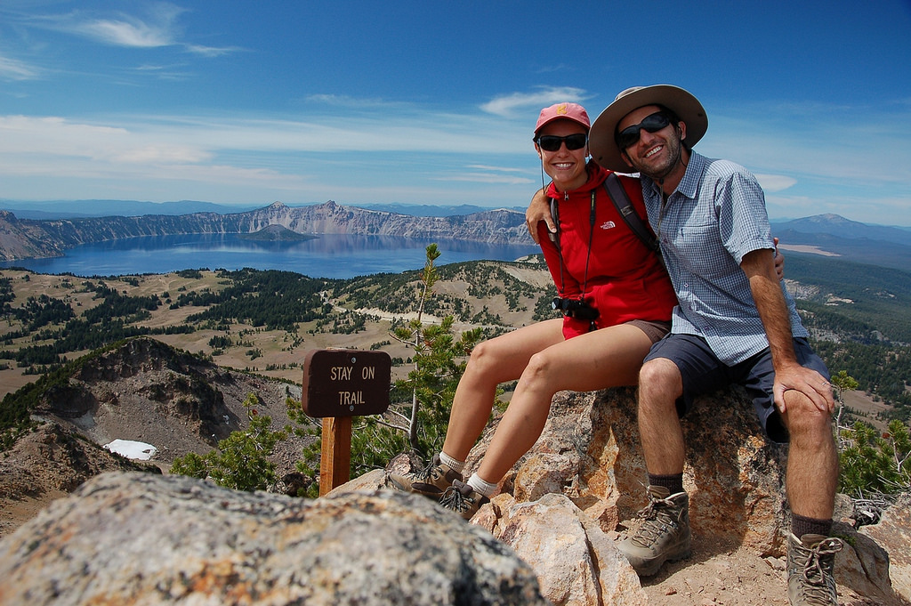
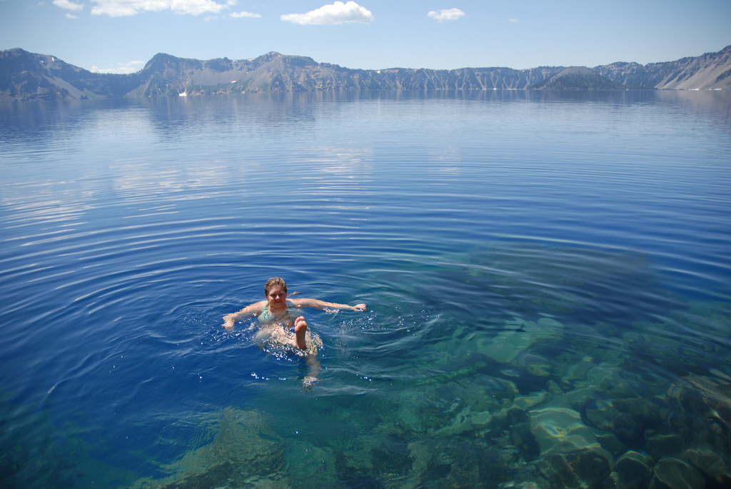
Cleetwood Cove Trail is the only permitted public route down to Crater Lake’s shore, which makes its construction closure especially significant. The trail and marina rehabilitation project covers the summers of 2026, 2027, and 2028, with no public boat tours during those seasons. Swimming, shore fishing, and public access to Wizard Island are unavailable while that route is closed. The photograph below records an earlier visit; for changing road and trail conditions, use our Crater Lake guide and the NPS current conditions page.
11. Bald eagles are part of the caldera’s wildlife
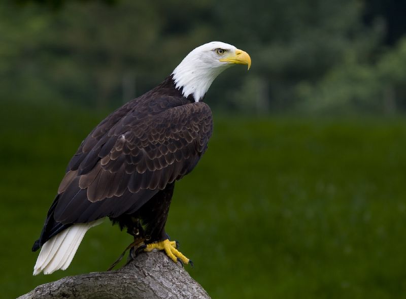
Bald eagles are observed at Crater Lake in summer, including birds flying above the water. In some years, a pair nests in the caldera cliffs and raises young there. Golden eagles are less frequently seen, while ravens, Clark’s nutcrackers, Canada jays, and mountain chickadees are among the park’s familiar birds. The NPS wildlife overview is a useful reminder that there is plenty of life around the rim as well as beneath the lake’s surface.
12. Pumice Castle is a natural volcanic outcrop
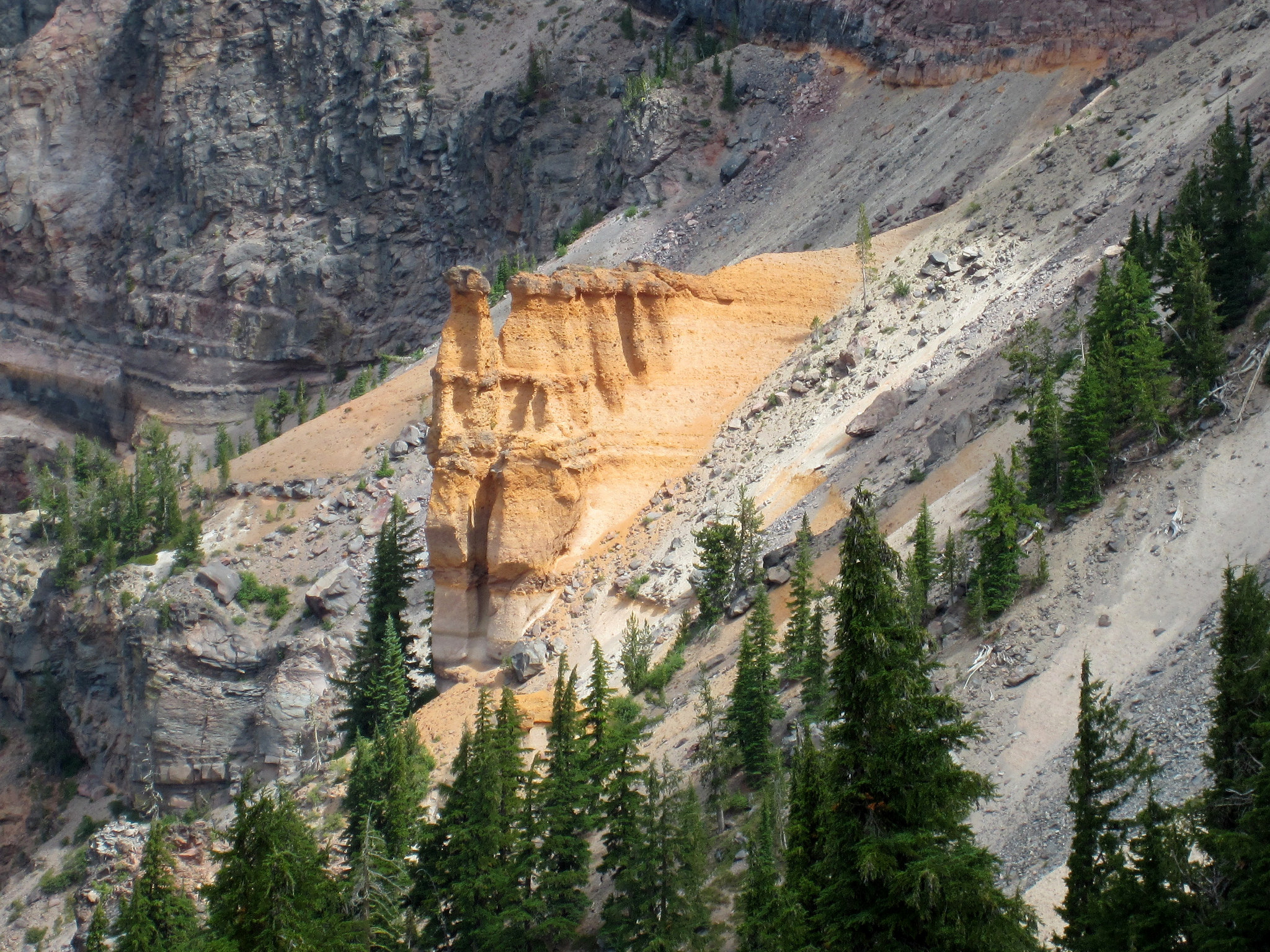
Pumice Castle is an orange volcanic formation on the eastern wall of Crater Lake’s caldera. Its castle-like shape comes from erosion of a layer of pumice, rather than anything built by people. The warm color stands out against the darker rock and green trees around it. The park’s geologic feature descriptions explain why this relatively small outcrop has become one of Crater Lake’s most recognizable details.
13. No rivers flow into or out of Crater Lake
Rain and snow supply Crater Lake, with no rivers or streams feeding it and no surface outlet carrying its water away. Water does leave through evaporation and seepage through porous rock, so the basin does not simply fill to the rim. Its level varies seasonally and from year to year. The lake’s water balance is part of what makes this enclosed volcanic basin so distinctive.
14. The Pinnacles preserve ancient gas vents
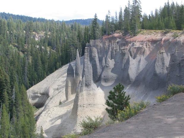
The Pinnacles are volcanic spires exposed as erosion removed softer material around them. After hot ash and pumice filled the valley during Mount Mazama’s eruption, escaping gases helped harden material around their vents. Those more resistant columns remained as the surrounding deposits wore away. NPS calls them fossil fumaroles, and its Pinnacles description explains the volcanic process behind these slender canyon formations.
15. Wizard Island grew after Mount Mazama collapsed
Wizard Island is a cinder cone built by eruptions after the collapse that created the caldera. Its tree-covered cone rises about 767 feet above the lake, but much of the volcanic structure lies underwater. It grew while rain and snow were filling the basin, leaving former shorelines preserved below today’s water level. Sonar images of Wizard Island show those submerged features, a reminder that the familiar island is only the visible top of a much larger landform.
16. Crater Lake Lodge opened in 1915
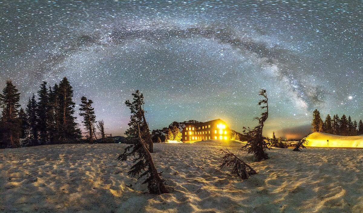
Crater Lake Lodge first welcomed guests in 1915 and underwent major reconstruction and earthquake stabilization in 1995. Its history reflects the challenges of maintaining a large building on the edge of a snowy, high-elevation caldera. The NPS lodge account documents those milestones, while our Crater Lake Lodge history tells more of the preservation story. It is another layer of the park’s past, alongside the much older volcanic landscape outside its windows.
Keep exploring Crater Lake
For the practical side of a visit, our Crater Lake National Park guide brings together current access information and trip planning. Our Crater Lake camping article covers the separate question of where to camp. When reading older stories or looking at archival photographs, keep the current lakeshore closure in mind.
Facts and access information reviewed September 22, 2026, using the National Park Service sources linked throughout this article. Additional background: NPS Crater Lake student study guide and NPS volcanic parks overview.
We’d like to thank our friends Jasman Mander and Mike Edwards for their contribution to this article, as well as all other photos which were included in this article from other photographers.