
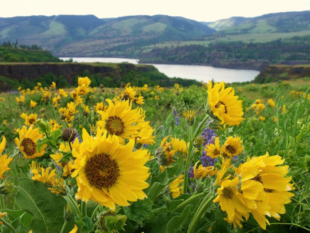
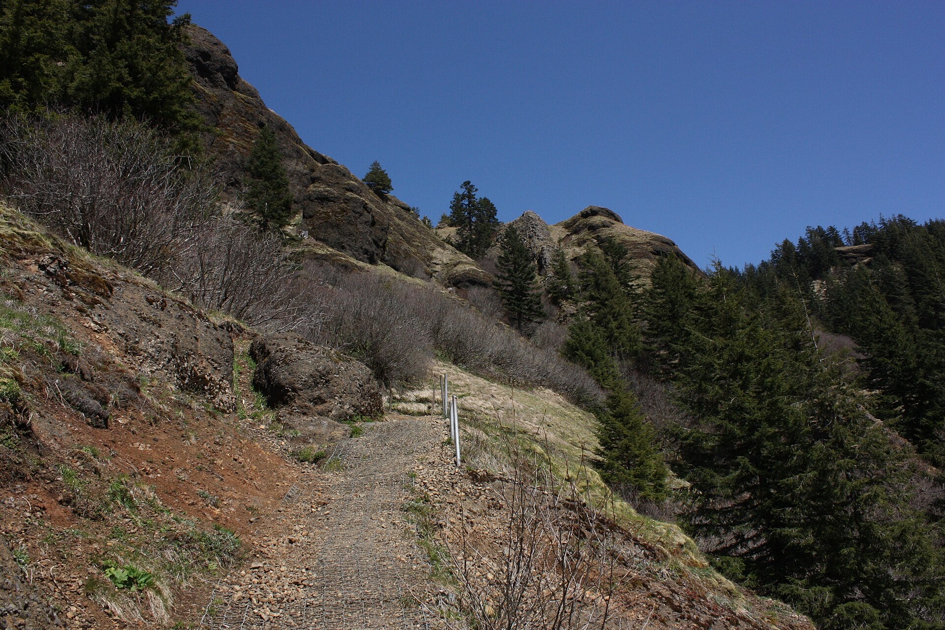
 Rowena Plateau. Photo by SMcD22 via Flickr CC2.
The statewide trail finder
Find the Oregon hike that fits your day
Compare regions, distance, difficulty, and trail style, then open a complete planning guide with the official source for the final conditions check.
Plan with confidence
Use one guide, not a pile of tabs
Each listed trail opens a dedicated planning page at /hikes/. Existing That Oregon Life stories stay available as related reporting, not as a second trail guide. Waterfall destinations remain in the Oregon Waterfalls Guide until their hiking facts complete route-level review.
Conditions are not live. Always check the linked land manager for closures, permits, fire, snow, road access, and current restrictions.
Find your trail
What kind of hiking day do you want?
Filters change this page only and do not create disposable search URLs.
See the whole state
Oregon hiking map
Only verified public trailheads are mapped. Waterfall hikes reuse the access points maintained by the waterfall guide.
11 verified trailheads shown.
Seven ways across Oregon
Browse hikes by region
Every destination remains linked in server-rendered HTML without using the interactive map.
No exact matches yet.Try removing a filter.
1 destinations
Columbia River Gorge
Wildflower plateaus, waterfall canyons, exposed cliffs, and historic-highway trailheads east of Portland.
Rowena Plateau. Photo by SMcD22 via Flickr CC2.2 destinations
Willamette Valley and Eugene
City summits, river corridors, wooded foothills, and Cascade trailheads from Salem to Eugene.

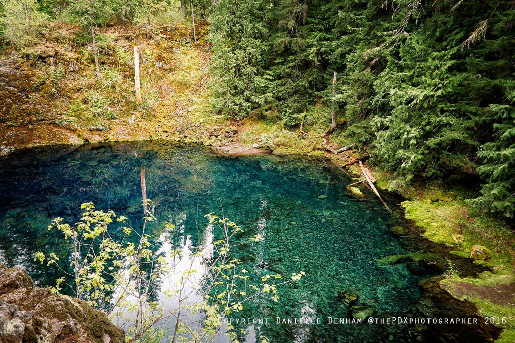 Tamolitch Blue Pool is a natural wonder along the McKenzie River Trail. Photo by That Oregon Life.
2 destinations
Central Oregon and the Cascades
High lakes, lava country, alpine routes, and seasonal permit areas around Bend and the central Cascades.


5 destinations
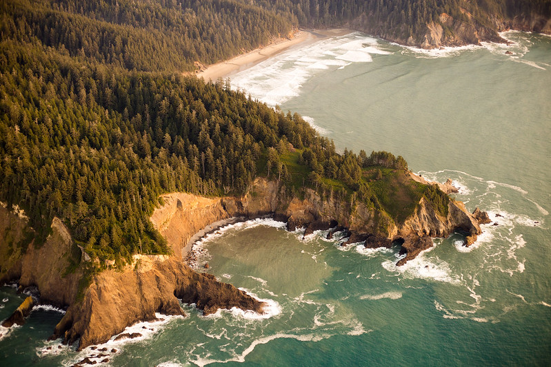
Oregon Coast and Coast Range
Headlands, beaches, old-growth forest, and Oregon Coast Trail sections from Astoria to Brookings.
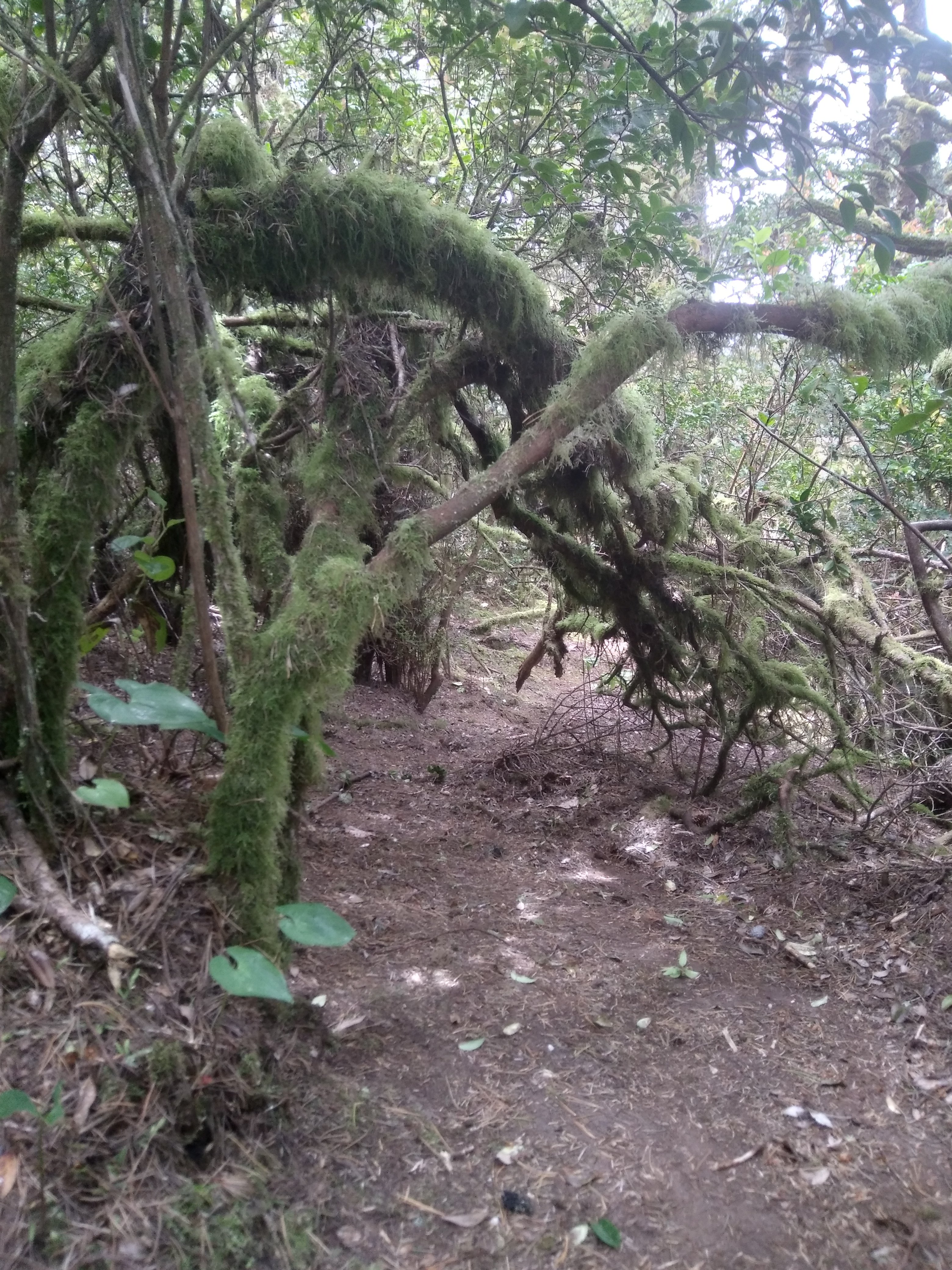
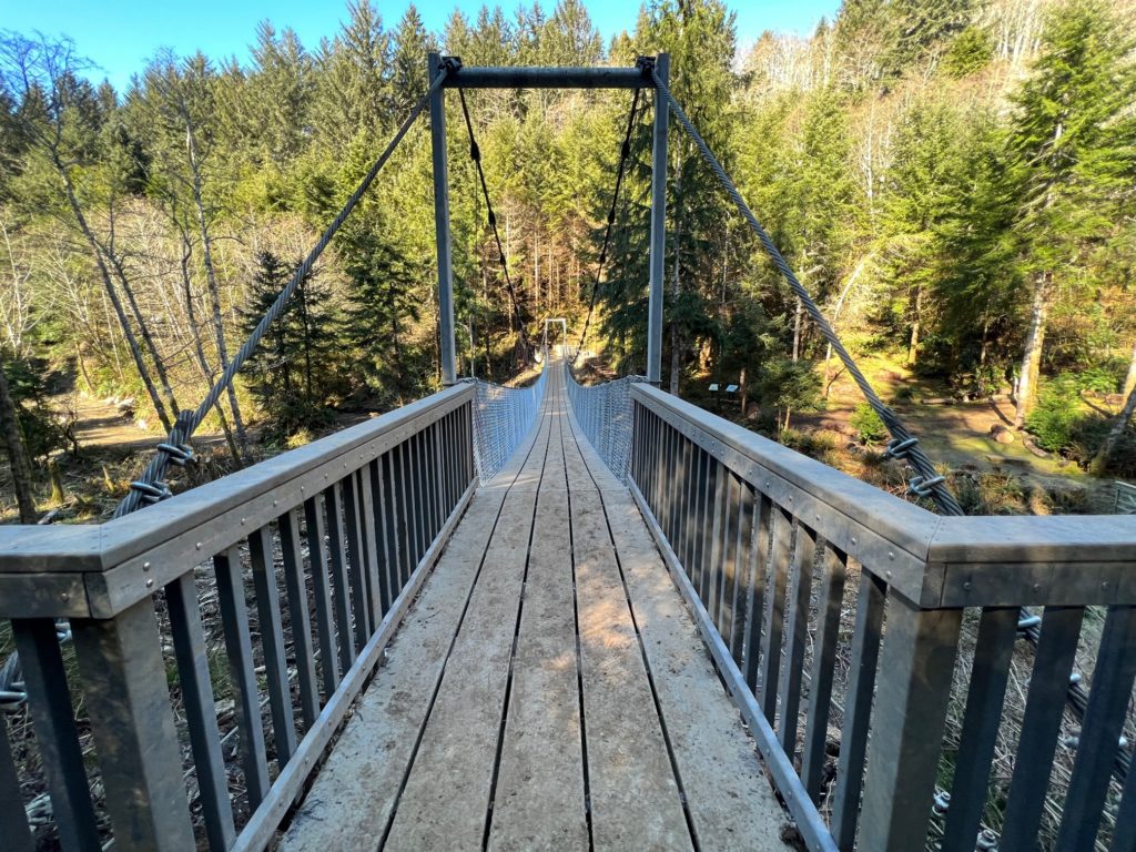 Amanda Trail / Image courtesy of Yachats News
1 destinations
Eastern Oregon
Remote desert, canyon, mountain, and high-country routes where access planning matters.

Before every trail
Conditions change faster than guide pages
Check the land manager
Confirm closures, permits, road access, fire restrictions, snow, and trail damage on the day you leave.
Match the group
Distance alone does not capture exposure, footing, heat, creek crossings, remoteness, or individual ability.
Leave a plan
Tell someone your route and return time, carry navigation and essentials, and turn around when conditions stop matching the plan.
Statewide hiking inventory reviewed September 1, 2026. Dedicated trail pages are the indexable planning URLs; existing That Oregon Life stories remain related reporting.