Understand the geography
The river road and the mountain road.
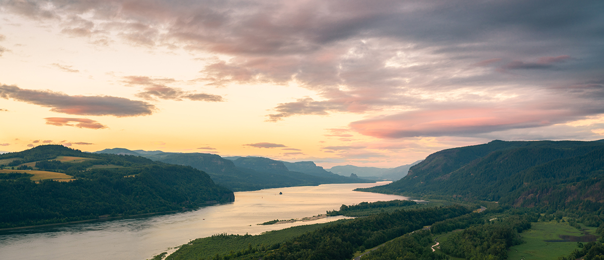
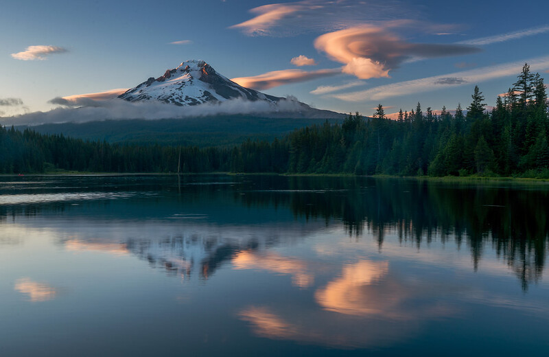
The Gorge runs east–west. Mt. Hood sits south of it. Roads connect them around the mountain; there is no short drive straight from Multnomah Falls to Timberline.
Along the river: I-84 & the Historic HighwayI-84 connects the Gorge towns. The Historic Columbia River Highway offers scenic stops but has narrower sections, limited parking and construction impacts. Check the specific stretch before building a continuous scenic drive.
Up the mountain: US 26 & OR 35US 26 approaches through Sandy and the mountain communities. OR 35 connects the Hood River Valley with the mountain’s east side and US 26. Choose the route for your destination and conditions; avoid unverified forest-road shortcuts.
Check the actual route on TripCheck →Less parking, more looking
Can you visit without a car?
Yes, for selected Gorge destinations. The Columbia Gorge Express serves Portland, Multnomah Falls, Cascade Locks and Hood River. Check today’s stops, timetable, fares and return trip before choosing your outing.
Transit is especially worth considering for Multnomah Falls. It does not provide automatic access to every waterfall, orchard or mountain trailhead. For a combined mountain-and-Gorge trip, plan each connection separately.
Traveling with kids or limited mobility?
Choose the exact access point before choosing the attraction. Short distance does not guarantee a level path, accessible restroom or available accessible parking. Start with a town stop and one verified viewpoint or waterfall access, with room for a break.
On foot, keep expectations local: downtown, a waterfront or a lodge visit. The region itself is not a walkable circuit.