Portland and Columbia Gorge waterfall guide
Choose the right waterfall day from Portland
Portland has unusually good access to waterfalls, but “near Portland” covers several different trip styles. The Historic Columbia River Highway offers famous roadside and short-walk stops; Eagle Creek and the Gorge’s side canyons provide real hiking days; Mount Hood trades a longer approach for quieter forest and mountain scenery.
Pick one corridor and match the outing to your group. Parking, seasonal permits, wildfire closures, ice, and congestion can change the best choice, so each waterfall page links to its land manager for the final check.
Plan before you drive
- For the simplest family outing, start with a developed viewpoint or short walk and keep a second legal destination in mind if parking is full.
- For a hiking day, choose one primary trail and confirm distance, exposure, permits, weather, and current closures before departure.
- Never park on vegetation, block traffic, climb around barriers, or use unofficial waterfall paths.
Classic Gorge stops with little walking
These are the easiest first choices, but popular lots can fill. Avoid stopping outside legal spaces or walking along active roadways.
Easy0.3 miles round tripShort walk
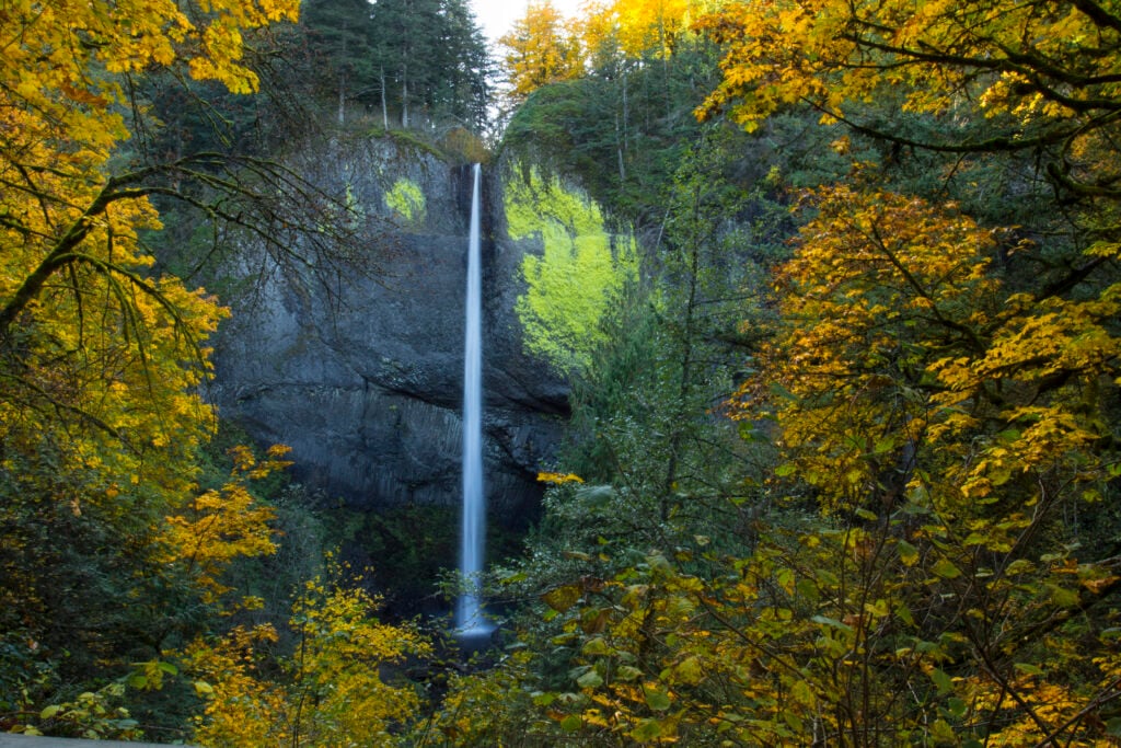
Latourell Falls
Latourell Falls is a public waterfall destination near Corbett, set among the ferny walls and basalt cliffs of the Historic Columbia River Highway. The visit is best understood as a 0.3-mile round-trip short walk rather than a stop measured only by waterfall height.
Easy0.6 miles round tripShort walk
Bridal Veil Falls
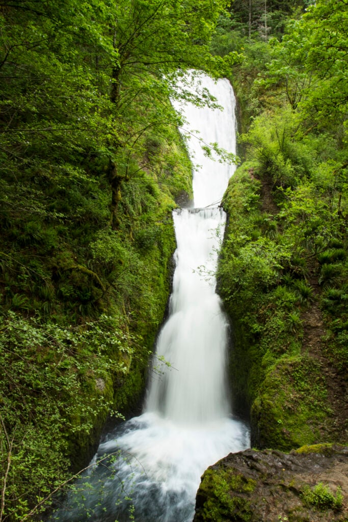
Bridal Veil Falls is a public waterfall destination near Bridal Veil, set among the ferny walls and basalt cliffs of the Historic Columbia River Highway. The visit is best understood as a 0.6-mile round-trip short walk rather than a stop measured only by waterfall height.
Easy0.2 miles round tripShort walk
Multnomah Falls
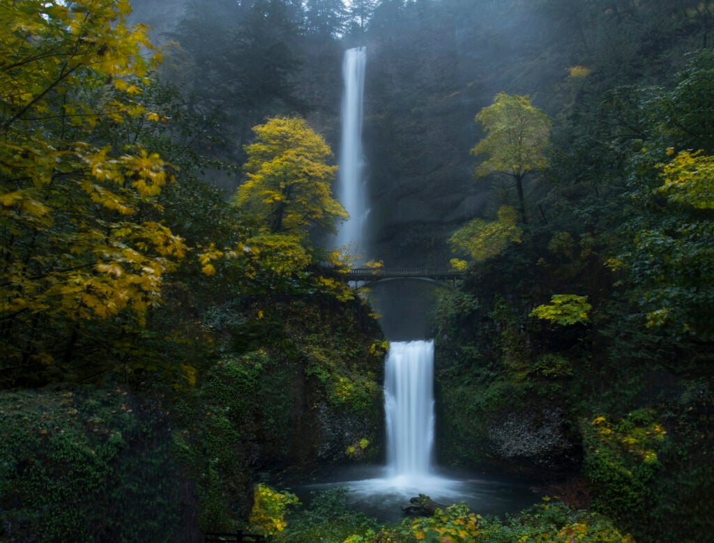
Multnomah Falls is a public waterfall destination near Bridal Veil, set in the Columbia River Gorge. The visit is best understood as a 0.2-mile round-trip short walk rather than a stop measured only by waterfall height.
Easy0.2 miles round tripShort walk
Horsetail Falls
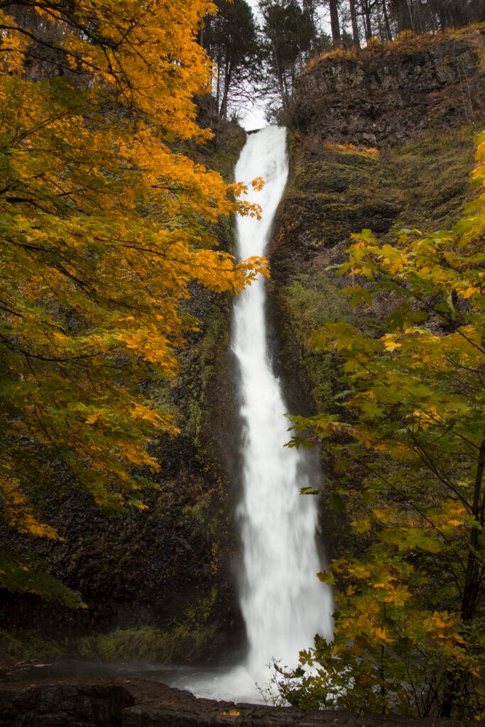
Horsetail Falls is a public waterfall destination near Cascade Locks, set in the Columbia River Gorge. The visit is best understood as a 0.2-mile round-trip short walk rather than a stop measured only by waterfall height.
Short hikes with a bigger trail experience
Choose one canyon or trail system rather than bouncing between crowded trailheads.
Moderate0.5 miles round tripShort walk
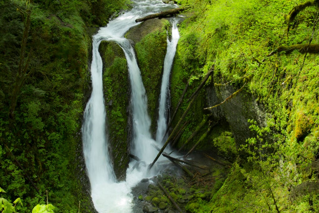
Wahkeena Falls
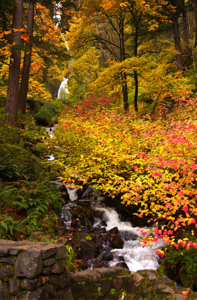
Wahkeena Falls is a public waterfall destination near Bridal Veil, set in the Columbia River Gorge. The visit is best understood as a 0.5-mile round-trip short walk rather than a stop measured only by waterfall height.
Moderate0.8 miles round tripShort walk
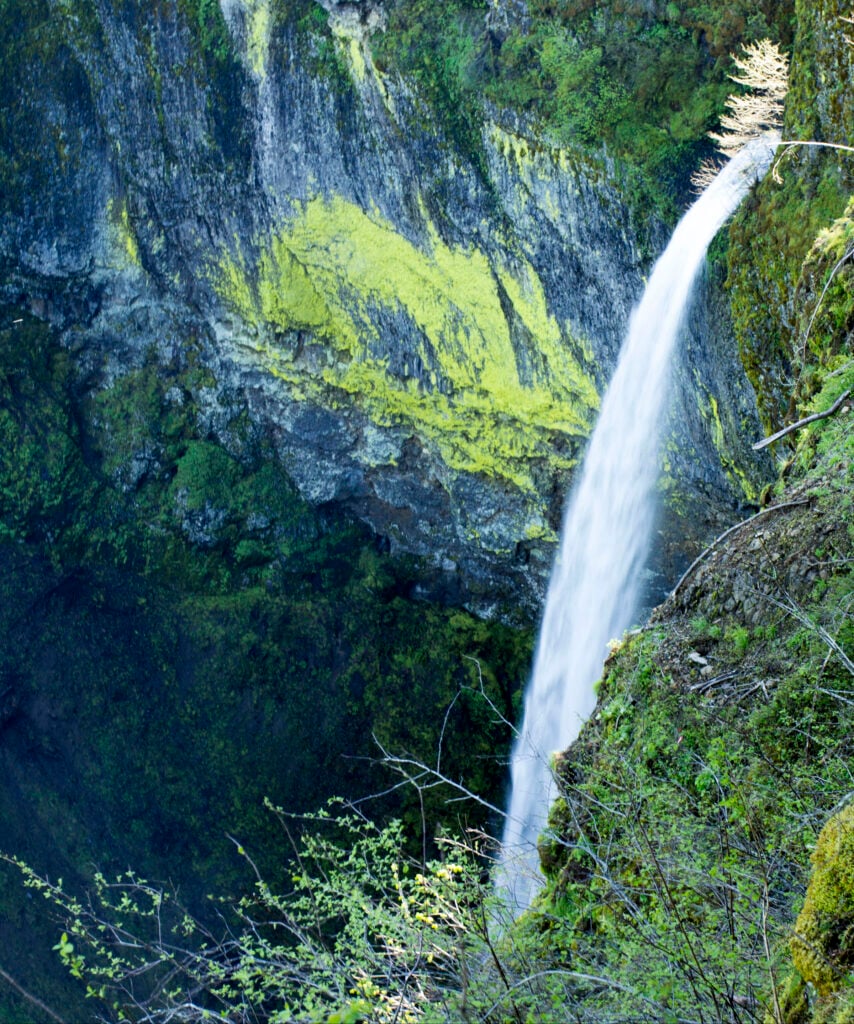
Ponytail Falls
Ponytail Falls is a public waterfall destination near Cascade Locks, set in the Columbia River Gorge. The visit is best understood as a 0.8-mile round-trip short walk rather than a stop measured only by waterfall height.
Moderate1.6 miles round tripHike
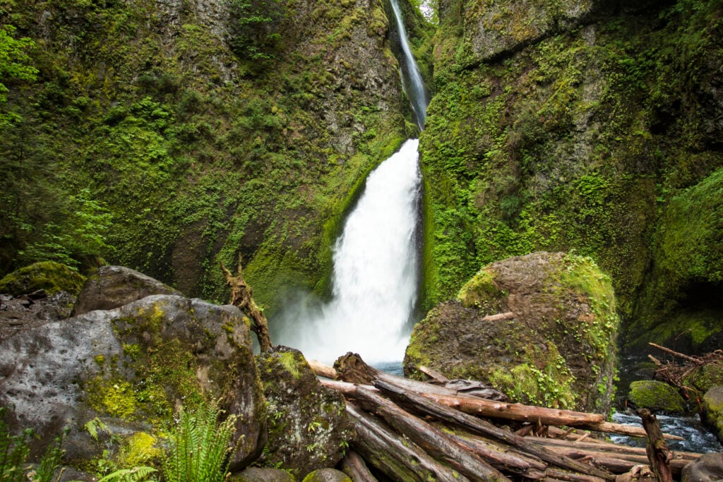
Elowah Falls
Elowah Falls is a public waterfall destination near Cascade Locks, set in the Columbia River Gorge. The visit is best understood as a 1.6-mile round-trip hike rather than a stop measured only by waterfall height.
Easy2 miles round tripHike
Wahclella Falls
Wahclella Falls is a public waterfall destination near Cascade Locks, set in the Columbia River Gorge. The visit is best understood as a 2-mile round-trip hike rather than a stop measured only by waterfall height.
Make the waterfall the day’s destination
These longer outings require more planning, time, and attention to conditions. Eagle Creek has cliff exposure and is not a casual wet-weather stroll.
Moderate4.4 miles round tripHike
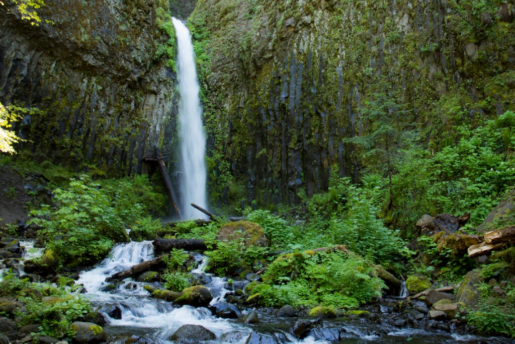
Dry Creek Falls
Dry Creek Falls is a public waterfall destination near Cascade Locks, set in the Columbia River Gorge. The visit is best understood as a 4.4-mile round-trip hike rather than a stop measured only by waterfall height.
Moderate4.2 miles round tripHike
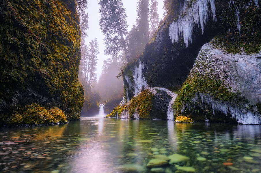
Punch Bowl Falls
Punch Bowl Falls is a public waterfall destination near Cascade Locks, set in the cliff-lined Eagle Creek canyon. The visit is best understood as a 4.2-mile round-trip hike rather than a stop measured only by waterfall height.
Moderate7 miles round tripHike
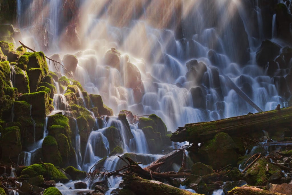
Ramona Falls
Ramona Falls is a public waterfall destination near Government Camp, set in Mount Hood’s deep west-side forest. The visit is best understood as a 7-mile round-trip hike rather than a stop measured only by waterfall height.
Plan for: Usually snowbound in winter; the Sandy River crossing is unbridged and can be hazardous
Mount Hood alternatives
Tamanawas and Umbrella Falls shift the day away from the busiest Gorge corridor. Snow and seasonal road access can be decisive.
Moderate3.4 miles round tripHike
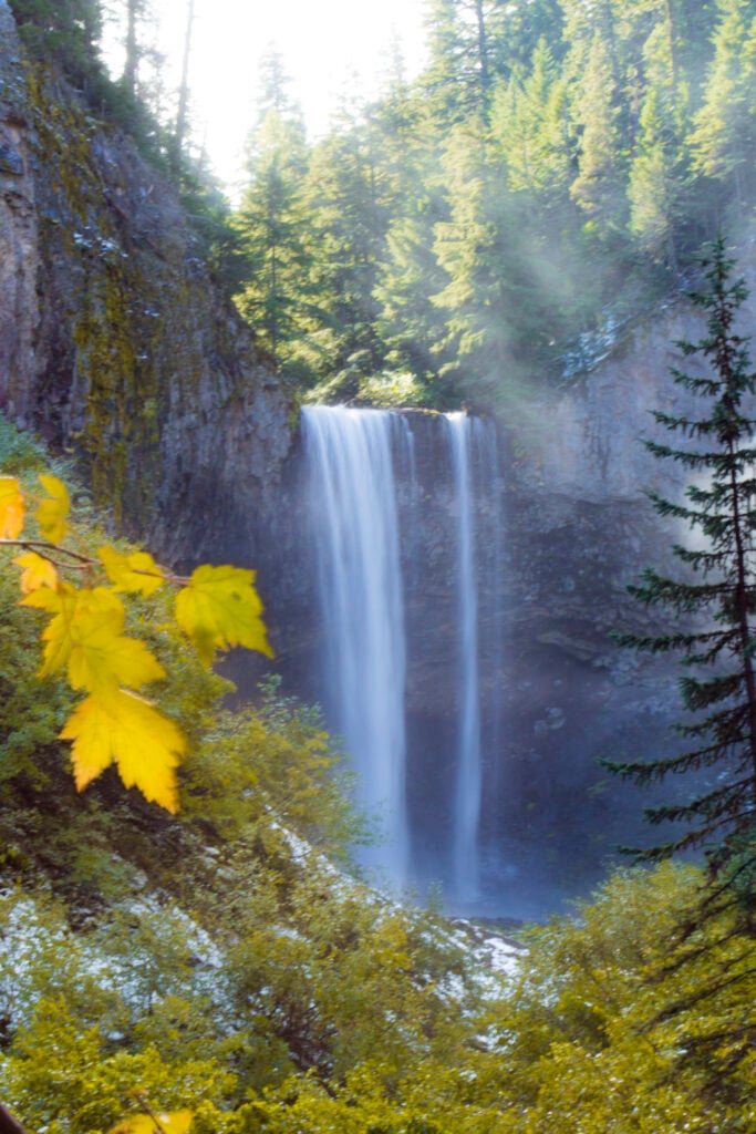
Tamanawas Falls
Tamanawas Falls is a public waterfall destination near Parkdale, set beneath Mount Hood’s east-side slopes. The visit is best understood as a 3.4-mile round-trip hike rather than a stop measured only by waterfall height.
Plan for: Snow and ice can make the trail hazardous
Easy0.5 miles round tripShort walk
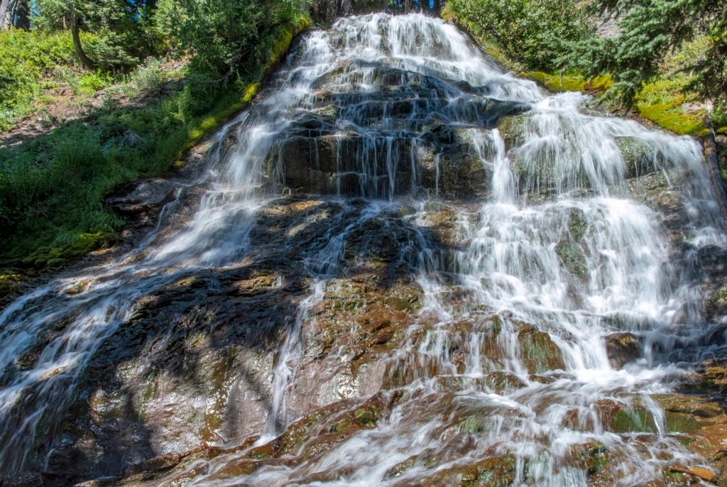
Umbrella Falls
Umbrella Falls has a short, approximately 0.5-mile round-trip access option from the signed forest road when that road is open. A longer trail route is a separate outing, not the distance shown on this card.
Plan for: The access road is snow-free roughly July through October; the longer trail route is a separate 3.1-mile one-way outing