Hobbit Trail Oregon: Beach & Heceta Head Hiking Guide
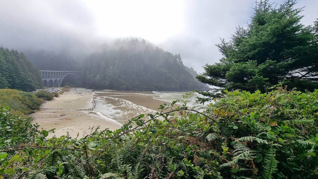
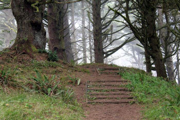
Our original Hobbit Beach reporting and photography, including how the short beach walk connects to Heceta Head.
Read the guide
Oregon Coast and Coast Range · Near Florence
The Hobbit Trail is a short mossy forest path from Highway 101 to Hobbit Beach in Carl G. Washburne Memorial State Park. The official 2026 Heceta–Washburne trail map marks the Hobbit Trail as 0.3 mile one way, or 0.6 mile round trip. The park profile also says the trail descends a half mile to the beach; this guide uses the more route-specific 2026 map. Do not mix this beach walk with the 1.25-mile Heceta Head Trail or the 6-mile round-trip lighthouse hike from the campground. Those are different signed routes on the same map.
The place
The Hobbit Trail is a short mossy forest path from Highway 101 to Hobbit Beach in Carl G. Washburne Memorial State Park. The official 2026 Heceta–Washburne trail map marks the Hobbit Trail as 0.3 mile one way, or 0.6 mile round trip. The park profile also says the trail descends a half mile to the beach; this guide uses the more route-specific 2026 map.
Do not mix this beach walk with the 1.25-mile Heceta Head Trail or the 6-mile round-trip lighthouse hike from the campground. Those are different signed routes on the same map.
Parking is a small Highway 101 pullout about one mile north of Heceta Head. Park fully outside the travel lane. If the pullout is full, do not invent a space on the highway. You will cross 101 to reach the beach-bound trail. There is no restroom at the pullout; the closest facilities are typically at Heceta Head or Washburne day-use when open.
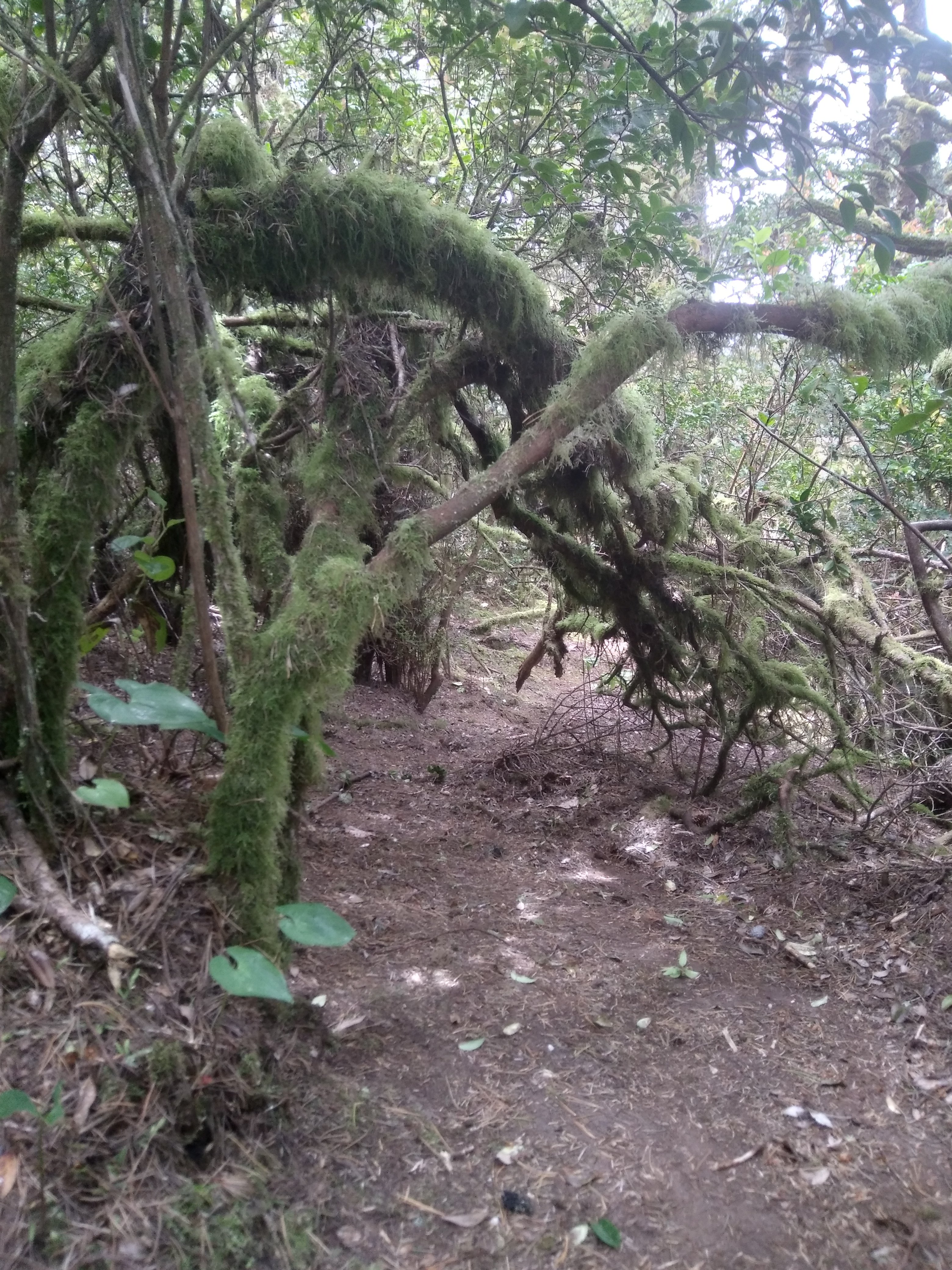
The signature stretch is a vegetation tunnel of moss and coastal shrubs before the sand. Mud, roots, tides, sneaker waves, and cold surf are the hazards. Pets must be leashed no longer than six feet.
Carl G. Washburne Memorial State Park is closed beginning August 1, 2026, for culvert replacement. Because the notice is park-wide, confirm whether the Highway 101 Hobbit Trail access is available before leaving; do not assume trail access remains open.
This planning page is the trail-facts URL. The That Oregon Life Hobbit Trail article remains the longer coast story.
From our Oregon archive: Read That Oregon Life’s full story about this trail.
Trailhead map
Coordinates: 44.143750, -124.117510 · Open in Google Maps
The coordinates identify the documented public parking area or trailhead—not a summit, waterfall, or off-trail feature.
Know before you go
No star ratings
The easy rating reflects the documented 0.6 mi round trip on a signed public route. Mud, heat, tides, ice, and crowding can still make the outing harder than the mileage suggests.
Protect the place
Trails, meadows, and viewpoints wear down quickly when people cut switchbacks, wander off the route, or leave waste behind. Keep this outing on durable, legal ground.
Trail questions
The route-specific 2026 Oregon State Parks map marks the beach-access trail as 0.3 mile each way, or about 0.6 mile round trip. The longer Heceta Head routes are separate hikes.
Oregon State Parks says Carl G. Washburne Memorial State Park is closed beginning August 1, 2026 for culvert replacement. Because the notice is park-wide, confirm whether the Highway 101 Hobbit Trail access is available before leaving.
The documented access is the small Highway 101 Hobbit Trail pullout north of Heceta Head. Park fully outside the travel lane and do not create a shoulder space if the pullout is full.
Oregon State Parks requires pets to be physically restrained on a leash no longer than six feet, with waste removed.
From our Oregon archive
Continue planning with That Oregon Life’s existing trail reporting, photography, regional guides, and nearby trip ideas.
Our original Hobbit Beach reporting and photography, including how the short beach walk connects to Heceta Head.
Read the guidePark-wide campground, day-use, and Oregon Coast Trail context north of Heceta Head.
Read the guideMore in the region
Trail lengths are shown below; these are regional suggestions, not distances from this trail.
Official Oregon State Parks Washburne profile and 2026 Heceta–Washburne trail map reviewed September 15, 2026.