If you’re looking for the kind of fall road trip that feels like getting into Doc Browns DeLorean for your very own Back To The Future III, Oregon’s Elkhorn Scenic Byway is it. This 106-mile loop out of Baker City winds through old mining towns, alpine lakes, and fiery autumn forests, and it remains one of the state’s most underrated drives.
I first wrote about this route back in 2016, and revisiting this story for fall 2026 feels like rediscovering an old friend. Some things haven’t changed, like the sweeping views, the ghost towns frozen in time, but there’s a new appreciation for how quiet and untouched this corner of Eastern Oregon still feels in a world that moves too fast.
Plan Your Fall 2026 Elkhorn Drive
The Elkhorn Drive Scenic Byway is a 106-mile loop in Eastern Oregon, connecting Baker City, Sumpter, Granite, Anthony Lakes, and Haines. Allow roughly three to five hours for driving alone, then give yourself a full day if you want to stop at the dredge, explore the towns, or take a short hike. Whitney, Bourne, and the Fremont Powerhouse are optional side trips that add time and mileage. For places to eat, stay, and explore before or after the loop, start with our Baker City guide.
For fall 2026, plan around the weather as much as the leaves. The route climbs above 7,000 feet, so a mild morning in Baker City does not guarantee clear pavement in the mountains. Check Oregon road conditions and TripCheck along with Wallowa-Whitman National Forest alerts before setting out, and leave room to turn back if snow or ice changes the plan. Our Eastern Oregon travel hub and Fall in Oregon guide have more ideas for extending the trip or choosing a lower-elevation outing.
Start Your Journey in Baker City, and Prepare to Head Back In Time
The byway starts in Baker City, a town that still wears its gold-rush past proudly. In the 19th century, Baker City flourished with the discovery of gold in Oregon. When other towns dried up after the initial rush, Baker City (old-timers still know it as simply “Baker”) became a hub for logging, ranching, and the transcontinental railroad. Downtown is filled with historic brick buildings, and the Geiser Grand Hotel remains the crown jewel with its Victorian elegance. Stop for a coffee or a pastry before heading out, because you’ll definitely want the fuel.
Take Hwy. 7 south out of town.
BONUS HISTORICAL SIDE TRIP:
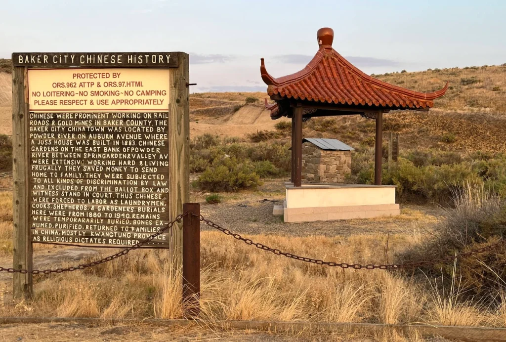
Pay your respects at the memorial to some of the hundreds of Chinese gold-rush era laborers who lived and died in the town of Baker at the Chinese Cemetery on the outskirts of the city.
Follow The Old Sumpter-Stage Highway Route
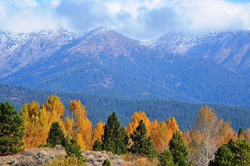
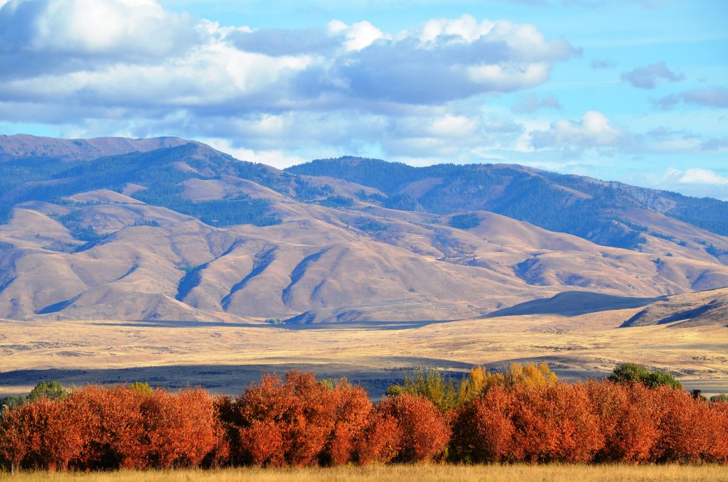
From here, the road follows the Powder River, meandering past ranchland and canyon walls, before climbing into the Elkhorn Mountains. In autumn, golden aspens and western larches brighten the forest against the evergreen pines, making every turn feel like a postcard.
Phillips Lake makes the perfect mid-morning stop. It’s an easy place to stretch your legs, picnic, or simply watch the light shift across the water. If you’re traveling with kids (or just like a peaceful hike), the North Shore Trail is a gentle walk with big payoffs.
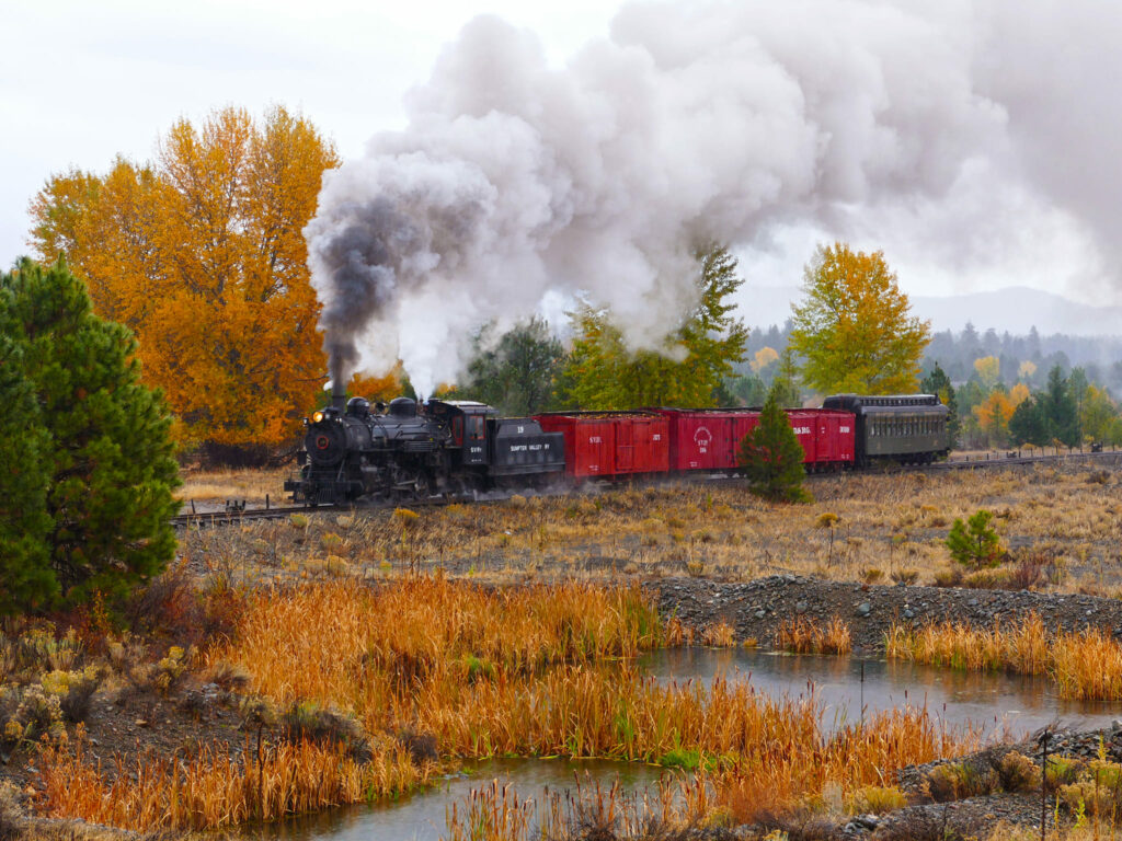
Stop in McEwen, where you can see the decaying remnants of Sumpter Dredge #1 from permitted public areas. The McEwen Depot & Museum is also the gateway to the Sumpter Valley Railroad, a delightful out-and-back train ride that both history buffs and kids will love. The depot is at 12259 Huckleberry Loop, off Highway 7. Check the railroad’s current departures and tickets before planning a fall ride, since trains do not run every day.
A little way out of McEwen, follow the marked turnoff from Highway 7 toward Sumpter and Granite.
BONUS HISTORICAL SIDE TRIP:
From the signed Sumpter turnoff on Highway 7, it’s a 10-mile drive west down Hwy. 7 to the lovely little ghost town of Whitney.
The Ghost Town of Sumpter
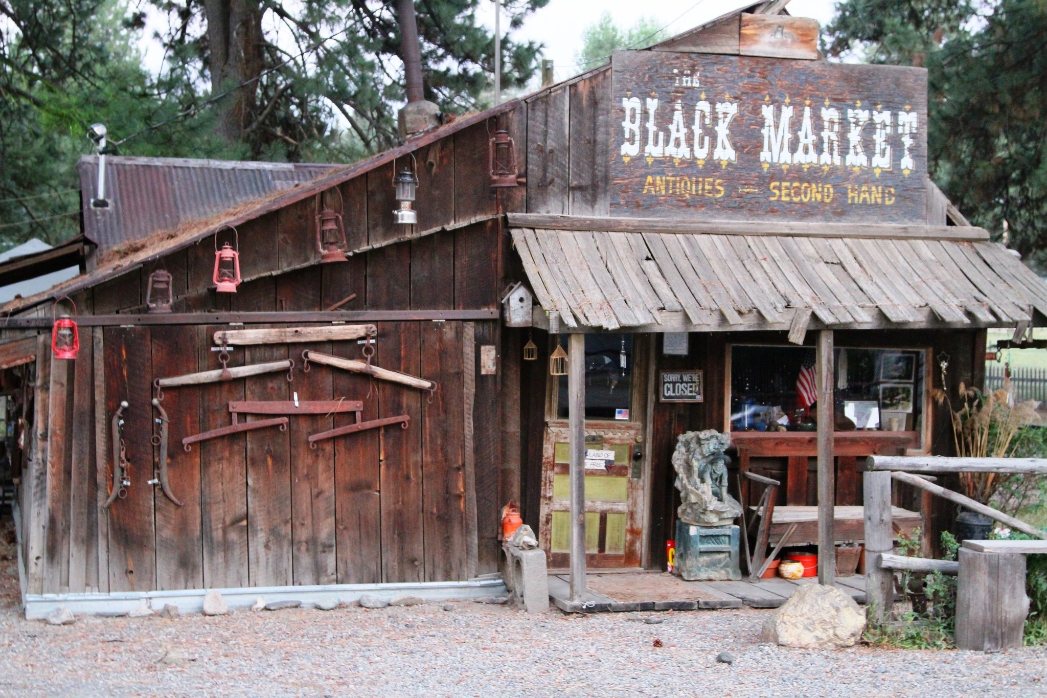
Sumpter was, at one time, home to 16 saloons, three newspapers, and an opera house, until its business district was destroyed in a 1917 fire. Today, it’s a sleepy little town with mining museums, inns, gift shops, and even a dispensary.
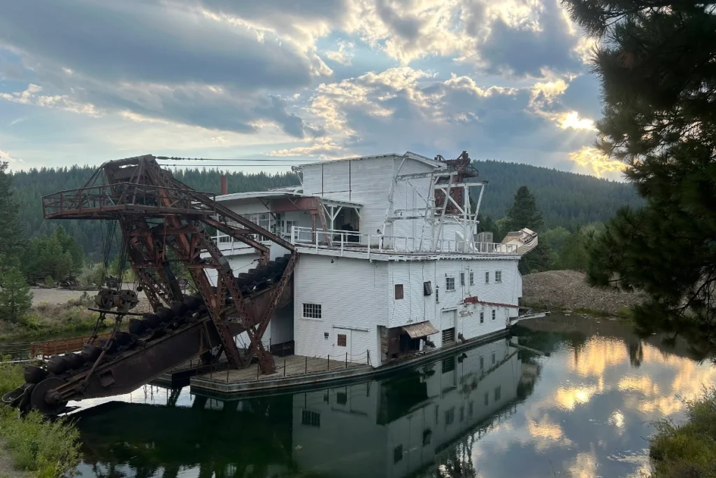
The Sumpter Valley Dredge State Heritage Area preserves the massive dredge and the landscape it reshaped. The park’s outdoor trails can be visited year-round, while visitors are normally welcome aboard the dredge from May through October; ranger-led tours are offered on weekends during that season. This impressive piece of machinery operated almost continuously, seven days a week and 24 hours a day, from 1935 until 1954. It’s estimated that the dredge dug up more than $4 million in gold during its lifetime.
Head Deeper Into the Elkhorns Where the World Only Grows More Remote
At this point, you can choose to head north out of Sumpter on Cracker Creek Rd. Treat this as an out-and-back side trip to our next ghost town, Bourne. Along the way, you’ll pass by another decayed roadside dredge (Sumpter Gold Dredge #2) and eventually make your way to the town itself. Return to Sumpter afterward to rejoin the byway.
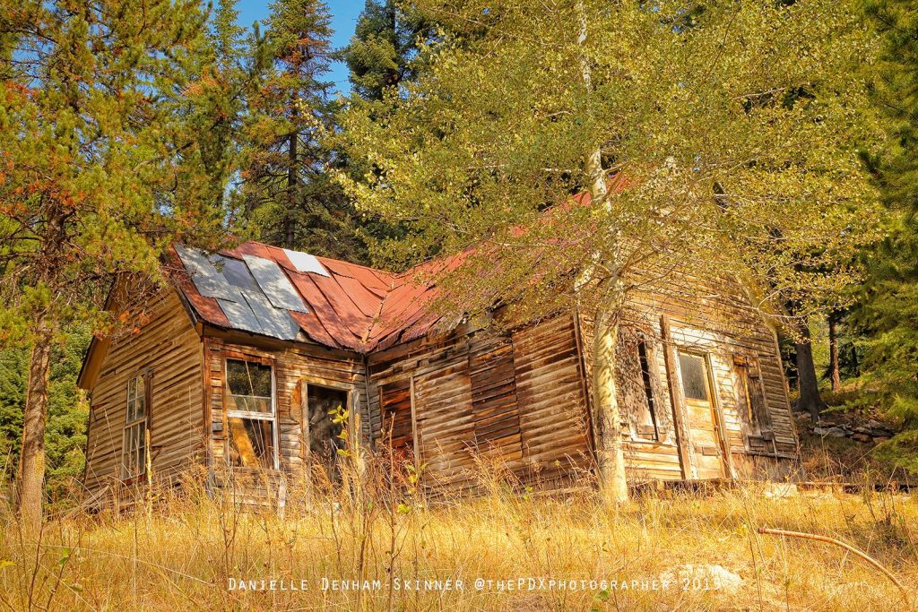
Little more than a scattering of cabins and weathered buildings today, Bourne once thrived on hard rock mining. The setting alone makes it worth the side trip: narrow roads trace the creek, and ruins emerge almost unexpectedly from the trees.
BONUS HISTORICAL SIDE TRIP:
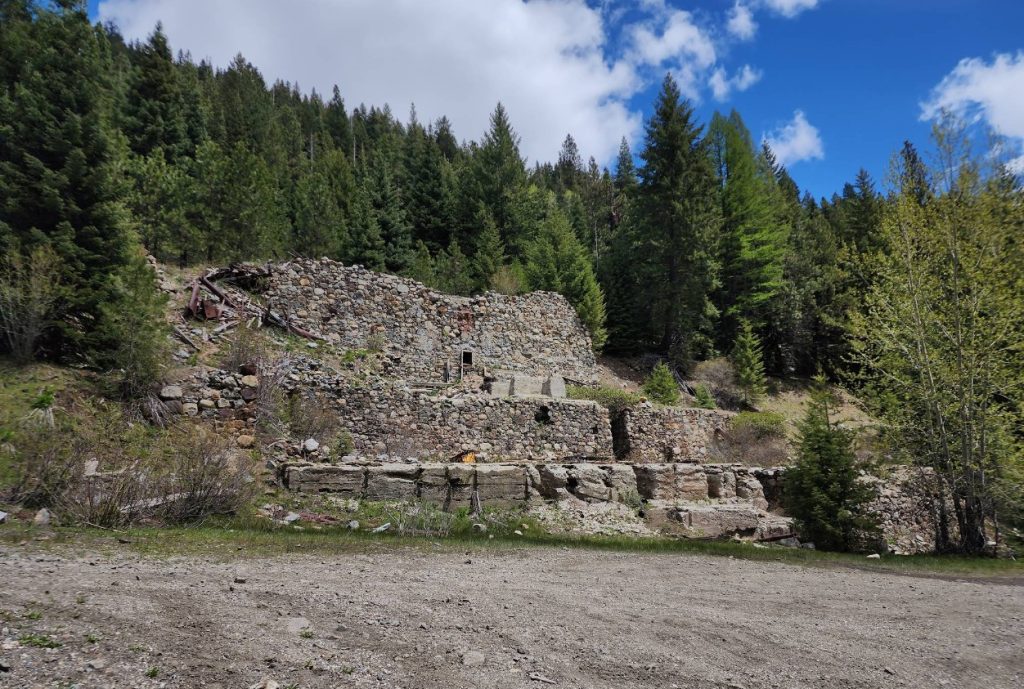
Just up the road from Bourne are the remains of the E&E Stampmill, another crumbling landmark that hints at the industrial scale of early mining operations. Please remember when exploring sites like this that “KEEP OUT” signs really mean it. Old mines are highly dangerous and often on private property, so always remain responsible and aware.
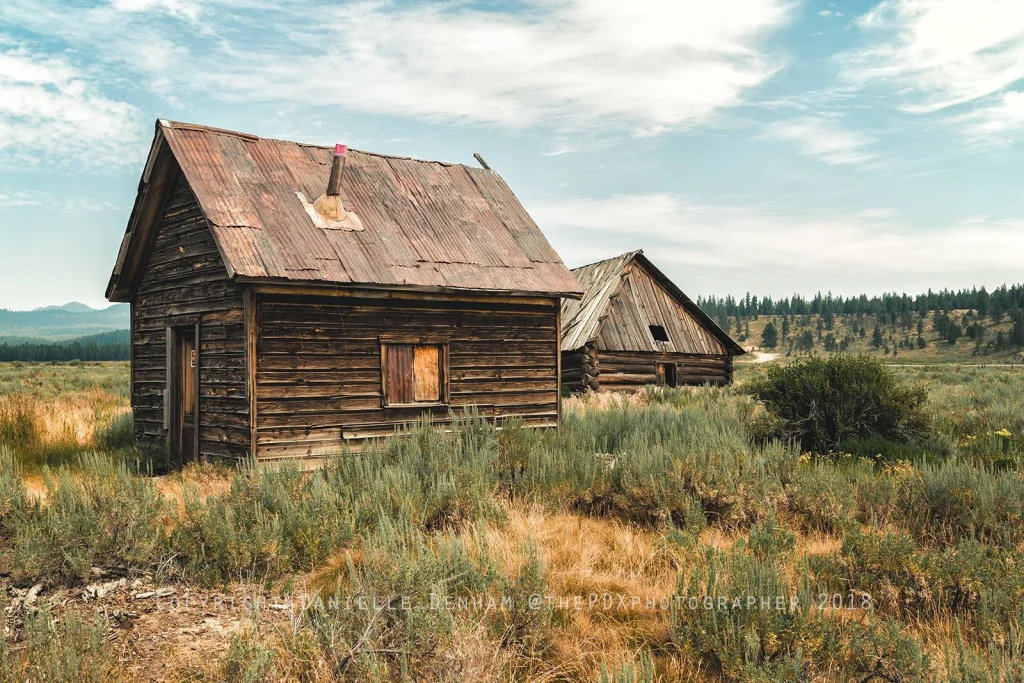
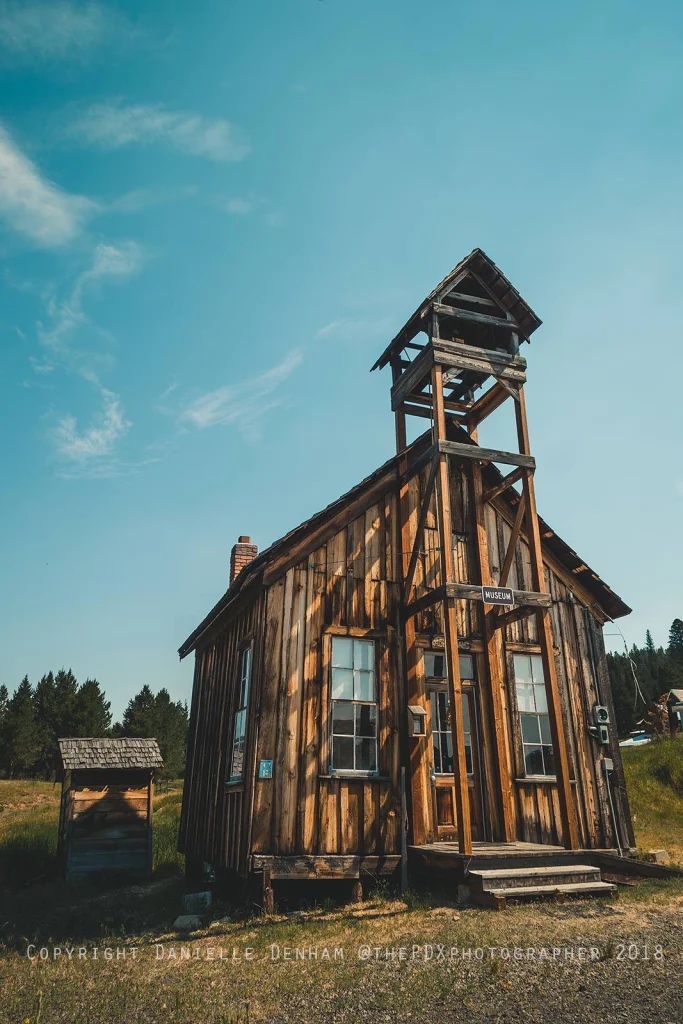
From Sumpter, the road winds northwest toward Granite, perched in the mountains and often called Oregon’s most authentic ghost town. Gold mining once brought prospectors to this tiny Grant County town; today, just a handful of residents remain. Wooden cabins lean against the wind, storefronts sag, and mining equipment rusts quietly in the brush.
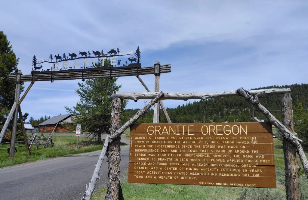
Exploring Granite feels like stepping into a sepia-toned photograph, as this is one ghost town that hasn’t been overly polished for tourists. The 2020 census counted 32 residents.
BONUS HISTORICAL SIDE TRIP:
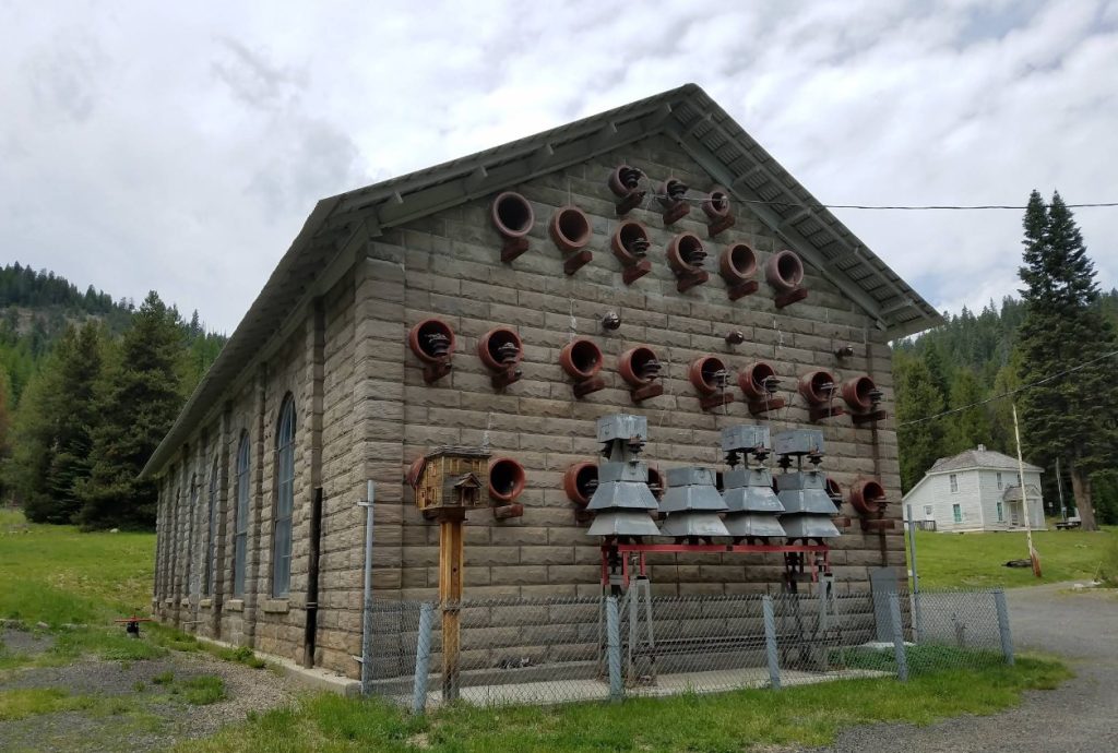
From Granite, take County Road 24 west for about six miles, then follow the Forest Road 10 signs to the historic Fremont Powerhouse. It once powered nearby mining operations, creating electricity from water supplied by Olive Lake. The Forest Service’s directions for the Fremont complex explain the approach and seasonal access. Check conditions before adding this detour to an autumn drive.
See The Abandoned Remnants of Oregon’s Gold Rush
Heading north out of Granite, two historical sites are worth a stop.
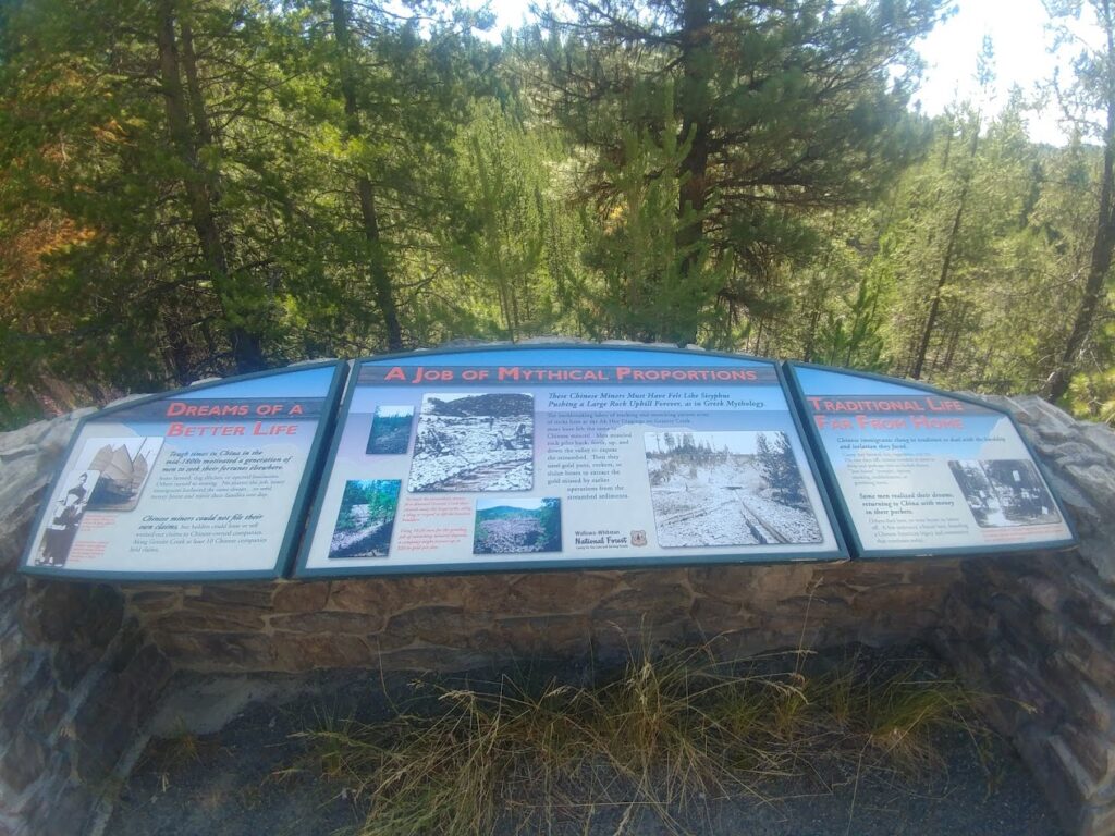
The first is the Ah Hee Diggings, sometimes called the “Chinese Walls”. This site near Granite showcases the rock piles left by Chinese miners who painstakingly worked these claims in the late 1800s.
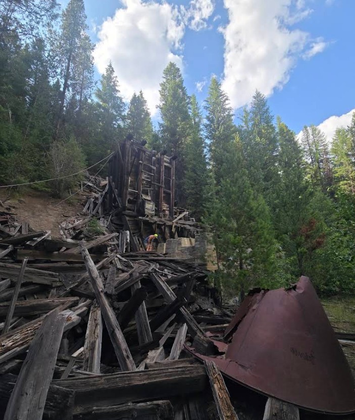
Continue up the highway to the rusting remains of the once-booming Cougar Stampmill, half-swallowed by the forest. A stampmill was a mechanical device, powered by water, steam, or electricity, that crushed ore into smaller pieces using heavy stamps, or hammers, to liberate the gold contained within.
From Epic Hiking and Sparkling Lakes to Oregon’s “Little Alps”
The ghost town leg of your journey may be over, but for outdoor enthusiasts and those wanting to soak in a little scenery, the road back to Baker hits all the checkmarks. Bonus: Anthony Lakes delivers alpine views that rival anywhere else in Oregon.
The North Fork John Day River Trail, reached from the campground trailhead, follows the wild and scenic river for 22.9 miles one way. That full route is a substantial wilderness hike, although you can choose a shorter out-and-back section and return to your car. Access and trail conditions depend on weather, snow, and forest restrictions rather than a guaranteed late-May opening date. The trail can be rugged at times, but it offers great views of the river while leading you past old mining cabins and long piles of rock tailings in the area. We highly recommend reading about the history of this trail and what you may find along the way.
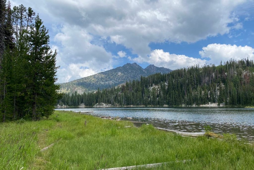
The Elkhorn Crest Trail is the highest in the Blue Mountains and was established as a National Recreation Trail in the late 1970s. From the trailhead, you can take in sweeping views of Baker Valley, spy the Wallowas in the distance, and stunning views of the Blue Mountains. Craggy peaks, herds of elk, and six high mountain lakes are also popular sights along the way. This trail is considered difficult, and there is scarce drinking water available.
For a shorter, but no less beautiful hiking experience, we recommend Van Patten Lake. From the lower parking area, most hikers follow about one mile of Forest Road 131 and another half-mile of trail to the lake, making it roughly three miles round trip before any extra exploring along the shore. The climb is steep in places, so give yourself time for the uphill walk and the return drive. The rough road to the upper trailhead is intended for four-wheel-drive vehicles or ATVs, not a shortcut for an ordinary passenger car.
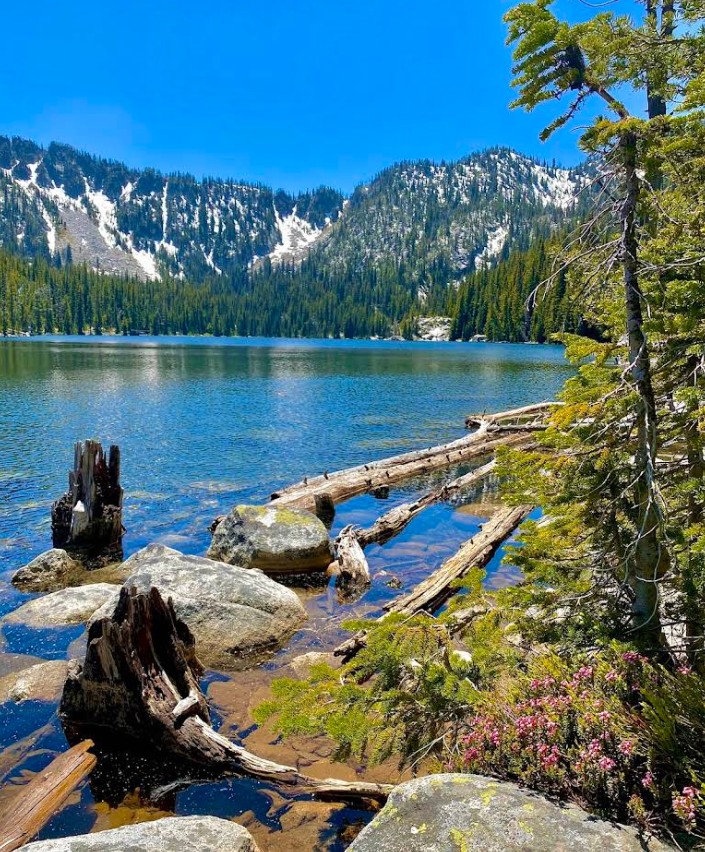
Even if you aren’t hiking, don’t forget to pull over at Anthony Lakes Viewpoint for sweeping views of the surrounding countryside.
Coming Full Circle Back to Baker City
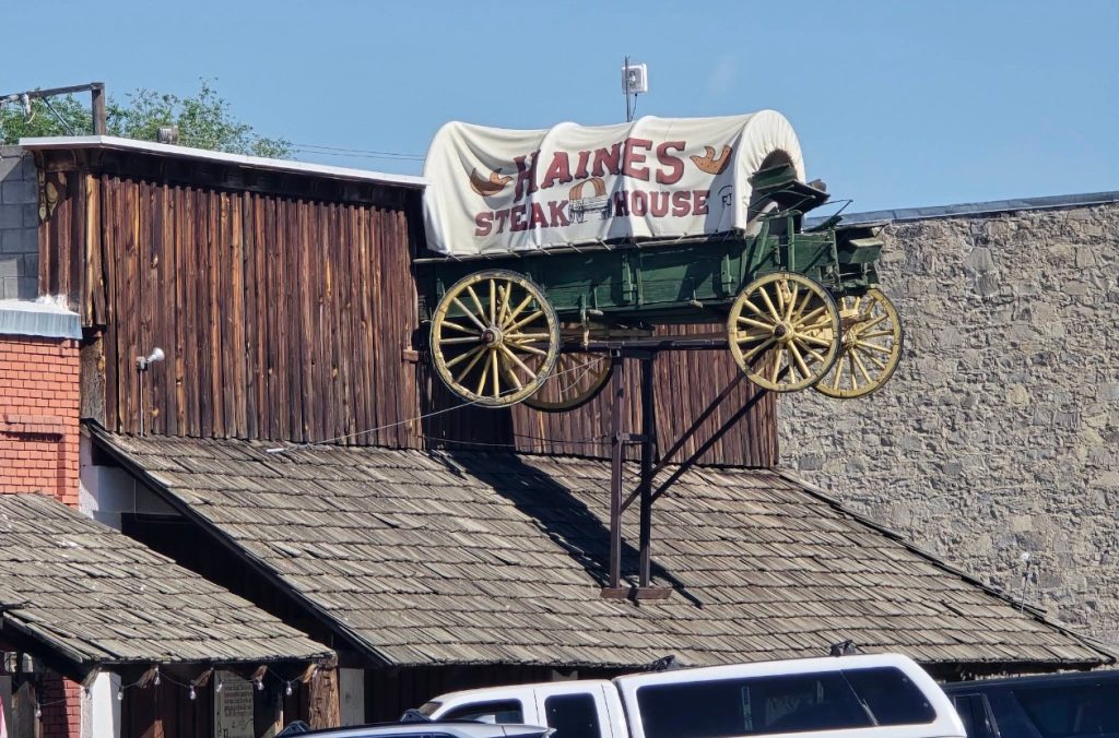
Once you make your way back down out of the mountains, the Eastern Oregon Museum at 610 Third Street in Haines makes a worthwhile history stop if you arrange a visit ahead of time. Its regular summer hours run from Memorial Day through Labor Day, so fall visitors should request an appointment through the museum’s website; at least 24 hours’ notice is appreciated. From Haines, travel back down Highway 30 to Baker City. If your day of travel has you ravenous, the Haines Steak House is a great place to fill your belly.
In the 19th century, Baker City flourished with the discovery of gold in Oregon. When other towns dried up after the gold rush, Baker became a hub for logging, ranching, and the transcontinental railroad. It’s also home to the 1889 Geiser Grand Hotel, which has been beautifully restored. The hotel is the iconic anchor of the revitalized downtown.

Best Practices for Exploring the Elkhorn Scenic Byway
—Tread lightly. Follow Leave No Trace principles to keep this landscape pristine for future explorers.
—Respect private property. Many ghost towns and ruins sit on or near private land. Stick to public areas and posted trails.
—Leave ruins as you find them. Don’t climb on fragile structures or remove artifacts. These remnants are part of Oregon’s history.
—Pack essentials. Food, water, and extra fuel are a must; services are few once you leave Baker City.
—Check road conditions. Weather can change quickly in the Elkhorns, and some side roads to ghost towns or ruins may be rough or seasonally closed.
—Bring a map. Cell service is spotty at best, and GPS can be unreliable in the mountains.
—Travel prepared. Layers for changing weather, a first-aid kit, and a spare tire can save your trip from being cut short.