
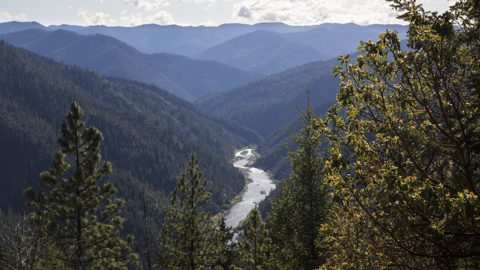
The Rogue River is No. 5 on American Rivers’ list of America’s Most Endangered Rivers of 2026, a ranking the national conservation group announced April 13. The group cited threats from logging, mining and road building that it says could follow a rollback of the federal Roadless Rule. Seven months later, the two federal decisions behind that ranking are still pending. The U.S. Department of Agriculture has proposed repealing the Roadless Rule nationwide, and the Bureau of Land Management is rewriting the plans that guide timber harvest on its western Oregon lands.
“The iconic Rogue River is one of America’s great wild rivers, but unfortunately, its clean water and fish and wildlife habitat are under threat by the removal of existing protections under the Roadless Rule,” David Moryc, senior director of river protection for American Rivers, said in the group’s announcement. The Ashland-based Klamath-Siskiyou Wildlands Center (KS Wild) and Rogue Riverkeeper nominated the Rogue for the list, according to KS Wild. KS Wild says making the list doesn’t label a river the worst in the country but signals that it faces serious threats. American Rivers is a national conservation advocacy group, and its report says one of its criteria for choosing rivers is “a major decision that the public can help influence in the coming year.” For the Rogue, the report names the U.S. Department of Agriculture as the decision-maker and urges it to keep the Roadless Rule’s protections in place.
What the report says is at stake
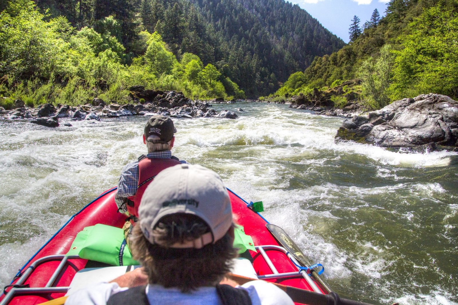
According to the 2026 report, the Rogue runs about 215 miles from the Cascades through the Klamath and Siskiyou Mountains to the Pacific, and its watershed covers more than 5,100 square miles. It was one of the first rivers protected under the Wild and Scenic Rivers Act in 1968. American Rivers says the Rogue supports roughly 100,000 returning salmon a year and that fishing, hunting, rafting and other recreation on the river bring more than $30 million a year to southwest Oregon communities. Many Oregonians know the river from its rafting stretches and jetboat runs near Grants Pass.
The report says repealing the Roadless Rule could remove protection from at least 200,000 acres of road-free land in the Rogue and Illinois River watersheds, including the North and South Kalmiopsis roadless area. American Rivers argues that new roads and logging there would degrade habitat, warm the water and raise wildfire risk. KS Wild executive director Michael Dotson said in the announcement that a Canadian company has staked claims on more than 10,000 acres of public land in the greater Rogue and Illinois watersheds for nickel exploration. The Illinois, home to the Illinois River Trail, is the Rogue’s largest tributary and is also a designated Wild and Scenic River.
Where the federal decisions stand
The Forest Service published its proposed rule to rescind the 2001 Roadless Rule on Aug. 20, along with a draft environmental impact statement. The comment period was extended once and closed Oct. 6. On its roadless areas page, the agency says ending the national rule would let local forest leaders decide how those lands are managed, including where to reduce wildfire risk. The page lists no date for a final decision. The rule currently covers nearly 45 million acres of national forest land, according to the Forest Service.
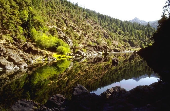
Separately, the BLM opened a revision of its western Oregon resource management plans in February. The agency’s notice says the goal is to increase sustained timber harvest toward historically higher levels on O&C lands. “Bringing timber production back to historic levels is essential for reviving local economies and reducing the threat of catastrophic wildfires,” Acting BLM Director Bill Groffy said in a Feb. 18 statement.
The American Forest Resource Council, which represents forest products companies that buy timber from BLM lands, welcomed the revision in its own Feb. 18 statement. “The 2016 plans failed to meet a clear legal mandate and limited the ability of land managers to responsibly steward these lands,” AFRC President Travis Joseph said. The group says the current plans put nearly 80 percent of the O&C land base in reserves that bar sustained-yield management, cutting into timber revenue that western Oregon counties share. It also argues that BLM forests in the region grow more timber each year than is harvested, which it says adds to wildfire risk.
KS Wild says the BLM manages more than 870,000 acres in the Rogue basin and that the revision could raise logging to nearly four times current levels. The BLM’s own notice puts the historical average at about 1.08 billion board feet a year from 1960 to 1989, compared with 267 million board feet in 2025, a gap of roughly four times. The BLM’s project page lists a tentative target of February 2027 for a final decision and notes that its schedule may change. As of Nov. 20, neither agency had issued a final decision.