

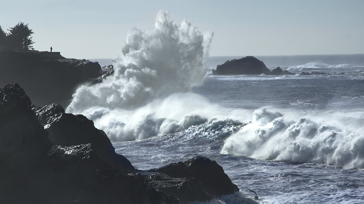
A walk on the Oregon Coast needs to wait this weekend if it puts you anywhere near the surf. The National Weather Service has issued high surf warnings for November 13 and 14, 2026, with breaking waves forecast to reach 30 to 35 feet at the peak of this latest swell. Forecasters in Portland describe the sneaker wave threat along the north and central coast as “extreme,” with the greatest concern Friday evening into Friday night. Farther south, the warning tells visitors to stay off beaches, rocks, jetties, piers and other structures beside the water.
Where Oregon’s high surf warnings apply
The Friday morning coastal hazard messages cover the Clatsop County coast, Tillamook County coast and central Oregon coast under the noon Friday to noon Saturday warning. That includes the coast around Cannon Beach, where a child was swept into the surf last weekend. The new warning describes waves capable of washing over beaches, jetties and other structures unexpectedly, with higher water run-up and potentially severe beach erosion.
The south central Oregon coast and Curry County warning begins two hours earlier and lasts ten hours longer. The National Weather Service’s Medford office specifically names Charleston, Port Orford, Gold Beach and Brookings in its warning area. Breaking waves of 20 to 25 feet are forecast Friday before increasing to 30 to 35 feet late Friday afternoon through Saturday morning. Waves are expected to ease somewhat later Saturday, but the warning still extends through 10 p.m.
Clatsop and Tillamook counties also have a separate Coastal Flood Advisory from noon to 4 p.m. Friday. That advisory concerns tidal overflow in low places near bays, sloughs and the lower portions of coastal rivers, rather than a forecast that every coastal street will flood. If you encounter water across a road or a closure, turn around and leave the barricades where they are.
Why this swell raises the sneaker wave danger
In its 4:49 a.m. Friday forecast discussion, NWS Portland said a large westerly swell would reach the coast Friday afternoon and likely peak between 7 and 10 p.m. The swell is forecast to have periods of 17 to 20 seconds. Forecasters say those long-period waves carry enough mass and momentum to run significantly farther up beaches and jetties than people might expect from a typical winter swell.
That water can reach ground that was dry moments earlier, knock someone down and pull them into the ocean. It can also dislodge heavy logs and send them rolling along the beach. Standing near a piece of driftwood can put you in the path of both the water and the wood, even if you never intended to get your shoes wet.
The weather service’s sneaker wave guidance warns that 10 to 20 minutes of smaller waves can come before a much larger surge. A quiet stretch of surf can give people time to move closer, set down a bag or let children wander toward the water. During this warning, waiting through a few small waves doesn’t establish a safe place to stand on the sand.
Last weekend’s Cannon Beach rescue is a separate incident
This forecast follows the November 8 incident in which a young girl was swept into the surf at Cannon Beach and adults pulled her out. We covered the bystander video, local reporting and the response from fire officials in our report on the Cannon Beach rescue. The warnings in this article concern the next round of high surf on November 13 and 14, rather than an extension of last Sunday’s alert.
For a broader explanation of the hazard, our earlier Oregon Coast sneaker wave article provides background. The practical concern this weekend is the combination of very large surf, unusually far-reaching water and heavy beach debris. You don’t have to be swimming for any of those hazards to reach you.
Make weekend plans away from the exposed shoreline
Save the beach walk, tide-pool visit and jetty stroll for another day. The Medford warning explicitly directs people off beaches and waterside structures, while Portland’s warning describes destructive waves sweeping over shoreline features. A rock platform or a familiar stretch of dry sand should never be treated as protection from this forecast.
Oregon State Parks’ beach safety advice also warns against walking along the base of eroding cliffs, climbing barriers or going near beach logs. Keep children and pets away from the surf zone, and follow park signs and local closures. If seeing the ocean would require an exposed walk, choose an indoor stop instead.
Check your destination’s current warning as well as its tide forecast. Our Oregon Coast tide tables can help identify local high and low tides, but a low tide doesn’t cancel a high surf warning. The times in the quick glance box describe the warnings issued Friday morning; forecasters can extend, replace or cancel them as conditions change.
The next swell could keep conditions dangerous into Monday
Saturday’s expected decrease in wave height may be brief. NWS Portland forecasts another westerly swell above 20 feet arriving Sunday afternoon and continuing into Monday, bringing another round of high surf, erosion and sneaker wave danger. Medford’s warning likewise flags a renewed period of very hazardous beach conditions Sunday into Monday. Check the Portland forecast office for the north and central coast and the Medford forecast office for the south coast before deciding the beach is ready for a return visit.