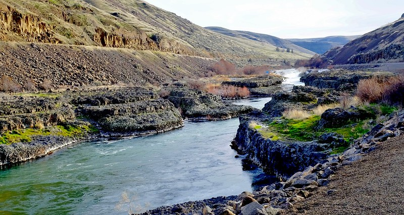
Oregon’s Deschutes River starts at Little Lava Lake in the Cascade Mountains and flows north for about 252 miles before meeting the Columbia River. It runs through Bend, then continues into Central Oregon’s canyon country. The last 100 miles are the Lower Deschutes Wild and Scenic River.
A summer float through Bend, a walk above Benham Falls, and a rafting trip near Maupin all happen on the Deschutes, but they need very different plans. Start by choosing the stretch that fits your day. If you are staying in town, our Bend guide covers the rest of the visit.
Planning information checked October 3, 2026. Check the linked land managers for current closures, permits, fire restrictions and river conditions before leaving.
Jump to: Which section to visit · Upper river and Benham Falls · Floating in Bend · Lower river rafting · Lake Billy Chinook · Fishing · Permits and safety · Quick answers
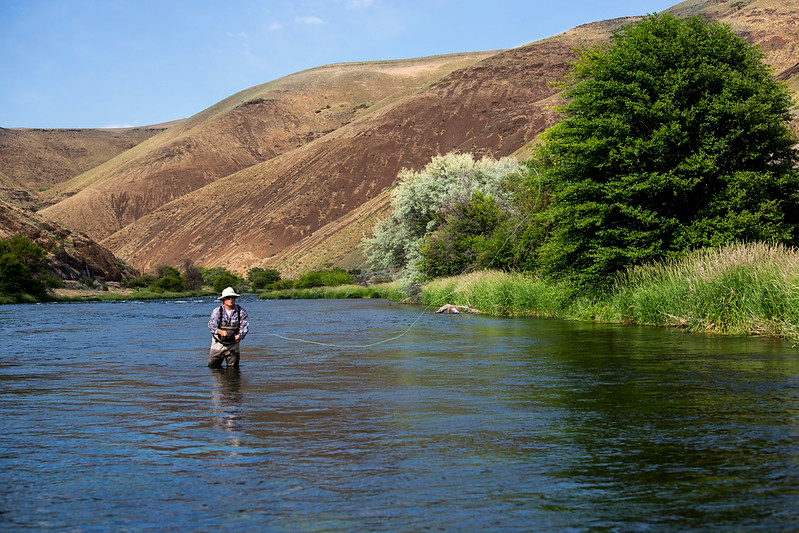
Which part of the Deschutes River should you visit?
For trip planning, separate the upper river around the Cascade Lakes, Sunriver and Bend from the Middle Deschutes canyon country downstream of Bend and the Lower Deschutes below the Pelton project. Lake Billy Chinook is a reservoir stop where the Deschutes, Crooked and Metolius rivers meet; give it its own plan.
| Area | Choose it for | Plan around |
|---|---|---|
| Upper Deschutes and Sunriver | Forest walks, riverside outings and Benham Falls viewpoints | The exact trailhead, road access and changing river conditions |
| Bend | A summer tube float or a riverfront walk near town | Launch and exit points, the whitewater bypass, parking and a return ride |
| Middle Deschutes | Canyon scenery around Cline Falls, Scout Camp and Steelhead Falls | The specific public access point and trail terrain |
| Lake Billy Chinook | A reservoir day or camping at The Cove Palisades | Lake conditions, campground reservations and marina availability |
| Lower Deschutes | Rafting near Maupin, fishing or river-mouth hiking | Boater passes, rapids, shuttles and heat |
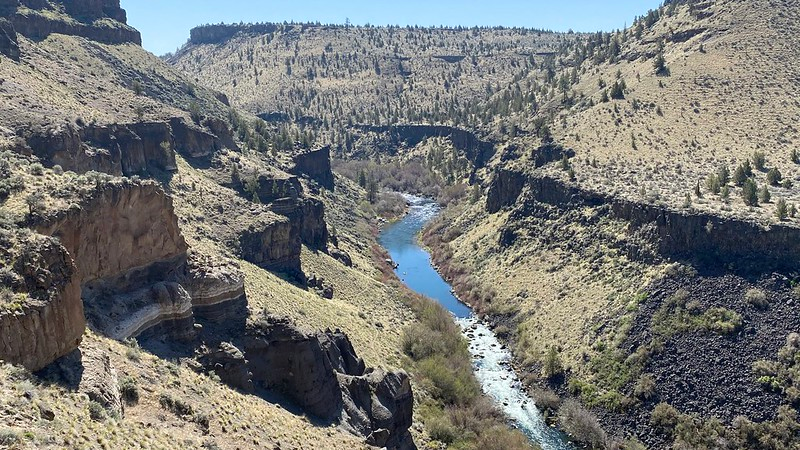
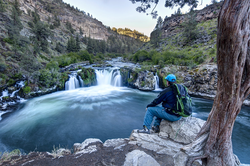
Scout Camp and Steelhead Falls belong in your Middle Deschutes plans, rather than being grouped with the forested headwaters. A canyon hike and a tubing route are different outings: do not assume that a trail access point is a safe place to enter the water. For more walking options, compare our guide to hikes near Bend.
Upper Deschutes: forest trails and Benham Falls
The upper river links the Cascade Lakes country with Sunriver and Bend. Crane Prairie and Wickiup are reservoir stops along its course. For a slower outing, pick one river trail or day-use area and leave time to sit by the water instead of trying to cover the whole watershed.
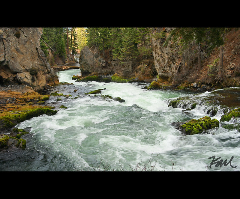
Benham Falls is south of Bend, upstream of town, near Sunriver. It is a stop for viewing powerful rapids from land. Choose a signed trail and overlook; this is not an extension of Bend’s recreational tube float. The Forest Service trail guide describes the walk from the east-side river access, across the footbridge and toward the falls overlook. Our Oregon waterfalls guide helps you compare other waterfall outings.
Check the actual trailhead before you set out. A short distance does not tell you whether a route has a steep descent, loose footing, steps or an accessible restroom. For the headwaters area, consult the Little Lava Lake campground page for operating dates and facilities; mountain recreation services are seasonal.
How to float the Deschutes River in Bend
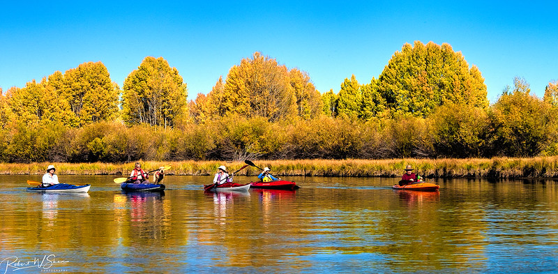
Floating the river is a Bend summer tradition. Riverbend Park to Drake Park takes you past the Old Mill District, with the Colorado Avenue crossing requiring a decision about the whitewater passage. Bend Park & Recreation District’s float guide puts the complete Riverbend-to-Drake outing at roughly 120–140 minutes, including the walk and setup. Current and conditions change the time on the water.
For a shorter outing, use a route between Riverbend and McKay Park or between McKay and Drake Park. Decide where to get out and how to return before inflating your tube. Tube rentals and the Ride the River shuttle are seasonal, so check current operations instead of assuming they run whenever the weather is warm.
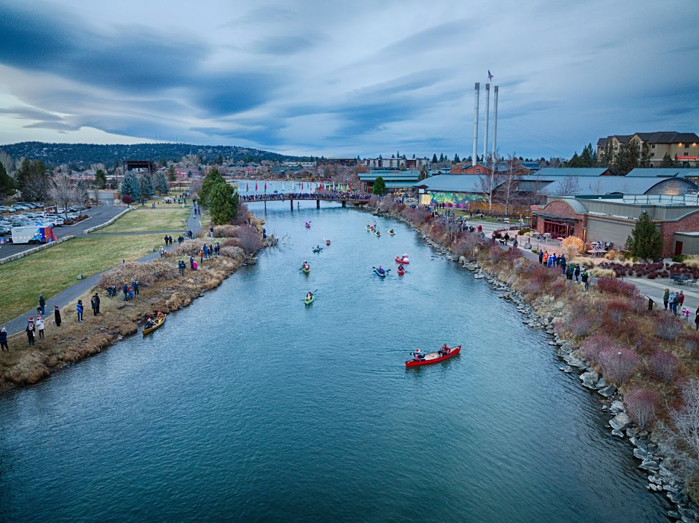
Bend Whitewater Park: know which channel you are looking at
The Bend Whitewater Park has three distinct channels. The passage channel contains the Fish Ladder; the center channel is for whitewater recreation; the habitat channel is closed to people and pets. The fish ladder and habitat channel are separate.
For a mellow float, get out before the Colorado Avenue bridge and walk around to McKay Park’s beach to re-enter downstream. The Fish Ladder is an optional rapids route with equipment and safety requirements. Pool loungers and flatwater kayaks, canoes or paddleboards do not belong in that passage. Read the district’s instructions and wear a properly fitted life jacket.
A riverfront walk is a useful alternative when someone in your group does not want to float. Parking and a return ride still matter: check the district’s current Park & Float information, designated river access and shuttle options. Keep launch areas clear, and use established paths to protect the banks.
Lower Deschutes: rafting and fishing around Maupin
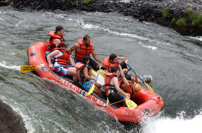
For a whitewater trip, look at the Lower Deschutes around Maupin rather than treating Bend’s float as the model for the whole river. Pick a trip with an outfitter whose route, time on the water and participation requirements suit your group. Ask who arranges the shuttle, equipment and boater passes.
Independent boaters need a route plan, suitable equipment and knowledge of the rapids. Use the BLM river maps to identify launches, takeouts and river miles. The Lower Deschutes is managed cooperatively by the BLM, the Confederated Tribes of Warm Springs and Oregon Parks and Recreation Department.
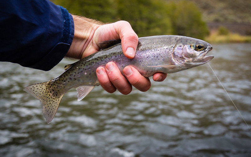
Deschutes River State Recreation Area: the river-mouth stop
Deschutes River State Recreation Area sits at the confluence with the Columbia River near The Dalles. It is a useful base for camping and canyon walks. Sherars Falls is farther upstream near Maupin, not at this park.
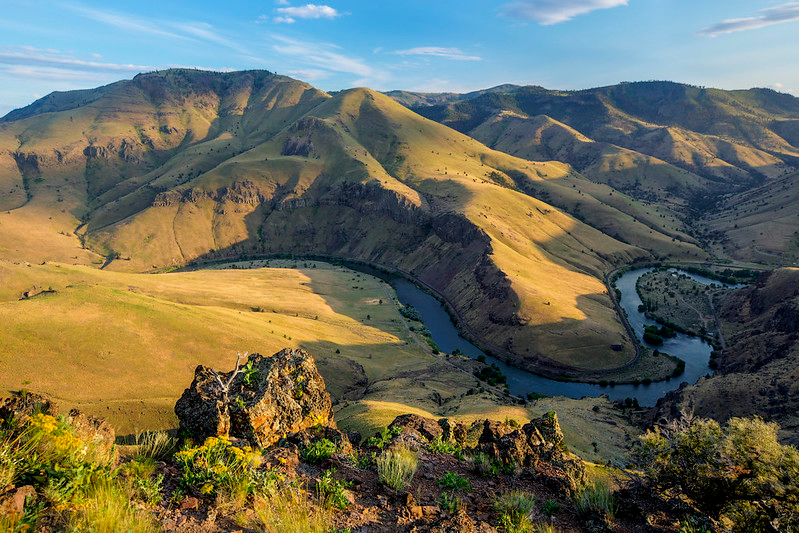
Ferry Springs provides a climb toward the canyon rim. Hikers also have a six-mile trail loop. The east-bank route offers a 26-mile round-trip bike outing on dirt and gravel; plan for rough surfaces, a puncture and the ride back. The park lists seasonal equestrian access on 11 miles from March 1 through June 30, by reservation, without overnight horse camping.
Summer heat can make an exposed canyon outing difficult. Carry water and choose a turnaround you can manage. Campers should expect noise from nearby rail lines and check winter facility availability. Read the park’s current trail rules, including bicycle and e-bike restrictions, before picking a route.
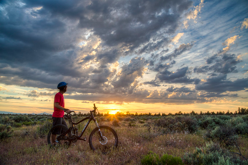
The biking photo above was taken near Cline Buttes in Central Oregon; it is not a photo of the river-mouth bike route.
Lake Billy Chinook and The Cove Palisades
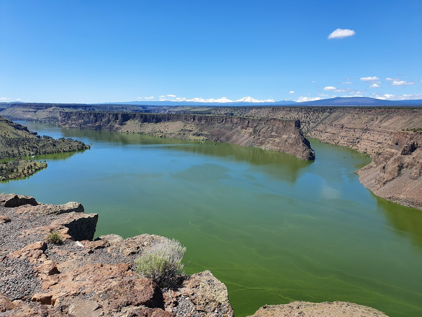
For lake recreation, The Cove Palisades State Park near Culver is a separate option along the river system. Lake Billy Chinook fills the canyons where the Deschutes, Crooked and Metolius rivers meet. This is reservoir recreation, so plan a lake outing rather than following Bend’s downstream float instructions.
The park has the Crooked River and Deschutes River campgrounds, plus deluxe cabins. Check the park for the season and reservation availability, and confirm rental options directly with the marina. A place to launch does not guarantee calm water: assess conditions and your ability before paddling away from shore.
Fishing the Deschutes River: check the exact stretch
The Deschutes has trout fishing in several reaches, while the lower river also draws anglers for steelhead and seasonal salmon opportunities. ODFW’s Central Zone guidance is the starting point for choosing a waterbody. The current Central Zone fishing report adds local conditions and in-season changes.
There is no single fishing season, bag limit or bait rule for the entire Deschutes River. Read the current regulations for your reach and target species, including temporary closures. Crane Prairie, Wickiup and Lake Billy Chinook have their own entries. Do not apply a reservoir rule to a river reach, or an old salmon opening to a future trip.
Before driving to a spot, confirm public access and whether your plan calls for bank fishing or a boat. Use established access, leave room for other anglers and check the fish-identification and release rules. Booking a local guide can help you choose an appropriate stretch without guessing from a general travel article.
When to visit: choose by activity and location
Spring: Consider the lower canyon for walking, while checking the forecast and trail conditions. Do not assume a spring day near the Columbia means the roads or facilities around the Cascade Lakes are ready for summer.
Summer: This is the season to plan a Bend float with seasonal services or a booked rafting outing. Factor in crowds, a return ride, heat and wildfire smoke. For a canyon hike, an early start and a shorter route may fit your group better than an exposed all-day walk.
Fall and winter: Build the trip around current access and daylight. Floating services may have finished for the season; mountain roads, water systems and campgrounds may close or reduce services. Check TripCheck before driving and the land manager before relying on a facility.
Permits, parking and river safety
Lower Deschutes boating: Boater passes are required year-round for day and overnight trips. Some segments have peak-season quotas. Use the official BLM pass information to book the right segment and dates. The Moody Island and Heritage Landing river-mouth areas have specific pass arrangements, so check your launch and route rather than buying by river name alone.
Bend and other paddlecraft outings: A Lower Deschutes boater pass is different from Oregon’s Waterway Access Permit. In 2026 the state removed the general under-10-foot exemption for nonmotorized boats. Kayaks, SUPs and rafts are covered, with specific exemptions including qualifying fee-system Wild and Scenic River trips. Consult the Marine Board’s permit FAQ for your craft and route; ask a rental operator which permits it provides.
Budget for the whole outing: Parking or day-use fees, camping, rentals, shuttles and river permits can be separate charges. Confirm what an outfitter includes and what you must buy yourself. State-park camping reservations can be made through Oregon State Parks reservations; use the individual manager’s booking link for other campgrounds.
Water safety: Wear a properly fitted life jacket and use equipment suited to the route. Warm air does not make the water warm, and a relaxed float upstream does not mean the next stretch is safe. Check exits before launching; avoid falls, dams and unfamiliar rapids. Keep children within close supervision and choose the walk-around option when appropriate.
Fire and land access: Read the current park or forest alerts and the Lower Deschutes rules before bringing a stove or planning a fire. Restrictions vary by land manager and conditions; a date printed in an old article is not permission to burn. Respect closures, tribal and private land, and designated public access.
Pack out trash, protect riverbank plants and give wildlife space. Our Leave No Trace guide covers the habits that help keep these places worth returning to.
Deschutes River quick answers
Where does the Deschutes River start and end?
Oregon’s Deschutes River starts at Little Lava Lake in the Cascade Mountains and ends at the Columbia River. Its roughly 252-mile course generally runs north.
What river runs through Bend, Oregon?
The Deschutes River runs through Bend. The town’s recreational float routes use designated access between Riverbend, McKay and Drake parks; they are only a small part of the river.
Can you float the entire Deschutes River?
Do not treat the entire river as a continuous recreational tube float. Falls, rapids, dams and changing access make it a series of separate trips. Choose a mapped route and its launch, exit and permit requirements.
Do you need a permit to float the Deschutes?
The answer depends on the stretch and craft. Lower Deschutes trips require a boater pass; river-mouth areas have specific arrangements. For Bend paddlecraft and other waters, check the Marine Board’s Waterway Access Permit rules and exemptions.
Is Sherars Falls at Deschutes River State Recreation Area?
No. The state recreation area is at the Columbia River confluence. Sherars Falls is upstream near Maupin; plan it as a separate stop.
Sources used for this review: BLM Lower Deschutes, Bend float routes, Bend Whitewater Park, Deschutes River State Recreation Area, The Cove Palisades, ODFW Central Zone and the Oregon State Marine Board. Check these sources for updates before your trip.