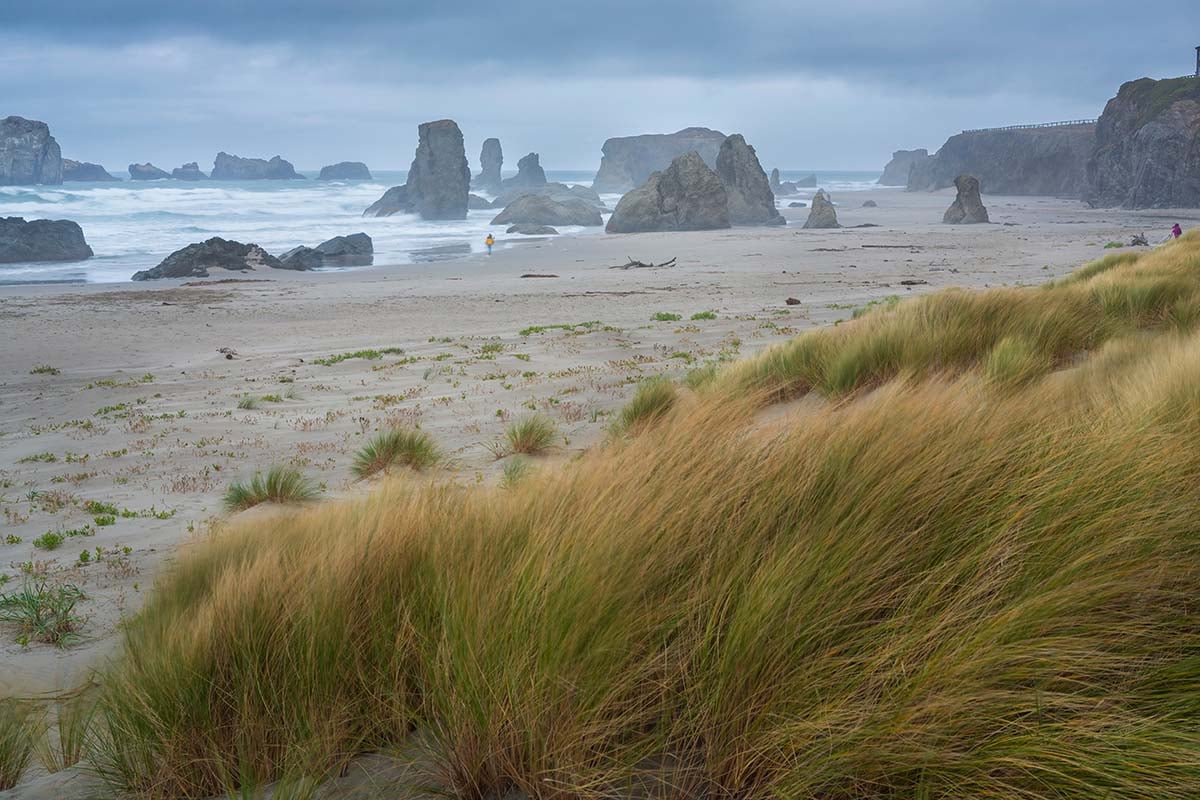
A Pacific storm is approaching Oregon’s north coast Thursday night, September 24, bringing the possibility of strong winds and scattered power outages into Friday morning. For those of us who love a rainy evening at the coast, there is a little preparation to work in before settling down for the night. The Chinook Observer reported on the developing system Thursday morning, drawing attention to concerns about its strength and whether coastal communities were receiving enough notice.
University of Washington atmospheric scientist Cliff Mass outlined those concerns in a September 23 forecast examining a compact but potentially powerful low-pressure system. His analysis showed the northern Oregon coast in the path of the storm, with the potential for localized outages as it comes ashore. That makes this a forecast worth checking whether you live near the ocean or have an early start planned for a coastal getaway.
Friday Morning Is the Main Window to Watch
In its 11:13 a.m. Thursday forecast discussion, the National Weather Service in Portland placed the most likely landfall near Astoria, with the strongest winds expected between 3 a.m. and noon Friday, September 25. Forecasters expressed high confidence in gusts reaching at least 30 to 40 mph across affected areas, with stronger gusts possible. Along the coast, the probability of gusts exceeding 55 mph was estimated at 15 to 30 percent, making more damaging winds a possibility rather than a certainty.
Rain will accompany the wind and spread inland Thursday evening. The same forecast called for roughly 0.6 to 1.2 inches along the coast and in several mountain areas, compared with about 0.35 to 0.55 inches in the Willamette Valley and Portland area. Significant flooding was not expected, and the forecast favored improving conditions Friday night followed by a generally dry weekend.
Why Some Forecast Numbers Sound More Alarming Than Others
Mass’s analysis included a University of Washington model showing maximum gusts near 70 knots, approximately 81 mph, in the strongest part of the system. A separate graphic examining peak winds over the event showed northern coastal gusts around 50 knots, or approximately 58 mph. These were computer-model projections, not observed winds or a promise that every coastal community would experience those speeds. They help explain his concern, but they should not be presented as an established, coastwide forecast for 80 mph winds.
The National Weather Service’s assessment was more cautious about the strongest gusts while still identifying a risk of tree damage and outages. Forecasters said they would monitor the approaching system to determine whether coastal wind alerts became necessary. For residents, the practical takeaway is to prepare for disruption without treating the most extreme model outcome as inevitable.
Marine Warnings Are Already Posted
Mass also questioned the absence of coastal wind warnings when he published his Wednesday analysis, a concern highlighted by the Chinook Observer. That issue needs to be distinguished from warnings covering the ocean. A warning for mariners describes hazards on the water and does not automatically mean the same winds are forecast for a neighborhood a few miles inland. Cliff Mass Weather Blog
The National Weather Service’s 1:12 p.m. Thursday marine update included a Gale Warning from 11 p.m. Thursday until 2 p.m. Friday for waters extending from Cape Shoalwater, Washington, to Cape Foulweather, Oregon. Those waters were forecast to see southwest winds of 25 to 35 knots, gusts up to 40 knots, and seas of 12 to 17 feet. A Hazardous Seas Warning follows from 2 p.m. to 8 p.m. Friday, meaning dangerous boating conditions could continue after the gale warning expires. The Columbia River Bar also has gale and hazardous-seas warnings, with its own forecast conditions. National Weather Service
There is a land-based Wind Advisory as well, but it covers the Upper Hood River Valley, including Parkdale and Odell, rather than the north coast. That advisory runs from 8 a.m. to 8 p.m. Friday and includes gusts up to 50 mph, particularly west of Oregon Route 281. The advisory notes that trees still carrying their leaves may suffer damage at lower wind speeds than they would later in the season. National Weather Service
A Little Preparation Before Bed Could Save Some Trouble
This is a good afternoon to put away loose patio furniture, secure the garbage cans, and deal with anything outside that could blow around. Charge your phone and backup battery, make sure the flashlights work, and check the supplies you would use during a power outage. The National Weather Service recommends keeping enough emergency food and water for three days per person. Those are useful habits to refresh at the beginning of storm season, even when the worst of a forecast misses your particular stretch of coast.
Anyone driving during strong winds should slow down, keep both hands on the wheel, and leave extra room around trucks and vehicles towing trailers. Avoid stopping beneath trees or power lines, and never approach a wire lying across the ground. For boaters, the marine warnings deserve particular attention because the forecast seas could damage or capsize vessels. A trip that looked reasonable when it was planned earlier in the week needs to be reconsidered against the conditions expected at departure.
There is plenty to enjoy about an Oregon coast evening spent indoors while the weather moves through. Getting the outdoor chores finished early and checking the forecast again before bed leaves fewer things to worry about once the wind arrives. Keep local weather updates available overnight, and let the latest conditions guide any Friday morning plans.