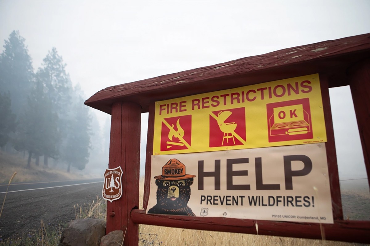
A rare “Particularly Dangerous Situation” Red Flag Warning has been issued for parts of Central and Eastern Oregon on Saturday, August 1, as strong winds collide with extremely dry vegetation and several ongoing wildfires.
Oregon is entering August under a fire weather warning that stands apart from the usual summer advisories.
Early Saturday morning, the National Weather Service in Pendleton renewed a Particularly Dangerous Situation Red Flag Warning, commonly shortened to a PDS Red Flag Warning, for a large section of Central and Eastern Oregon.
The most dangerous period is expected between 2 and 8 p.m. Saturday, August 1, when a strong cold front will sweep across the region and bring powerful winds over land that is already hot, dry and capable of burning rapidly.
The warning includes the Lower Columbia Basin, Northern Blue Mountains, canyon grasslands of Wallowa County, Grande Ronde Valley, Eagle Cap Wilderness, John Day Valley and the central mountains of Oregon.
A broader Red Flag Warning will remain in effect across those areas from 11 a.m. until 11 p.m. Saturday. West winds of 20 to 30 mph are expected, with gusts reaching approximately 40 mph and relative humidity falling as low as 15 percent.
For Oregonians who have never heard the phrase “Particularly Dangerous Situation” attached to a fire warning, that is because it is not used casually.
The National Weather Service reserves the designation for unusually dangerous combinations of strong winds, very dry vegetation and weather conditions capable of producing explosive fire growth. Forecasters describe PDS Red Flag conditions as “extremely rare” and warn that fires starting under these circumstances may grow rapidly and become difficult to control.
This Warning Does Not Mean All of Oregon Is About to Burn
It is important to be clear about what the warning means—and what it does not mean.
A Red Flag Warning is not an announcement that a wildfire is currently burning in every community covered by the warning. It means the weather and vegetation have created an environment where a spark could become a dangerous fire very quickly.
The PDS designation also does not cover the entire state.
Its focus is primarily on portions of Central and Eastern Oregon, including communities and wildlands around the Columbia Basin, Blue Mountains, Wallowa County, Grande Ronde Valley, John Day Valley and central Oregon mountains.
However, critical fire conditions extend well beyond the official PDS area.
A separate Red Flag Warning is in effect from 11 a.m. to 11 p.m. for the Central, Southern and Western Blue Mountains, the eastern Columbia River Gorge, the east slopes of the Mount Hood National Forest, the Warm Springs Reservation and the northern Deschutes National Forest.
In those areas, northwest winds could gust to approximately 30 mph while relative humidity falls as low as 9 percent. The National Weather Service warns that any fire beginning under those conditions could catch and spread quickly.
Southern and Southeastern Oregon are facing dangerous conditions as well.
A Red Flag Warning will be in effect from 2 to 9 p.m. across portions of the Klamath Basin, Fremont-Winema National Forest and the deserts of eastern Lake and western Harney counties. Winds could gust between 25 and 35 mph while humidity drops as low as 6 percent.
Additional warnings cover the Burns area, Steens Mountain, southern grasslands, Baker Valley and sections of Oregon near the Idaho border.
In other words, this is not a warning for every town from Astoria to Ashland. The most extreme conditions are expected east of the Cascades. But the size of the affected area—and the number of fires already burning across Oregon—make Saturday especially concerning.
Why a Cold Front Can Make Fire Conditions Worse
The arrival of a cold front might sound like welcome news in August, but temperature is only one piece of the wildfire equation.
As the front passes, winds will increase sharply and may change direction. Those winds can push flames into unburned vegetation, carry embers across roads and containment lines, and cause a fire that had been moving slowly to suddenly accelerate.
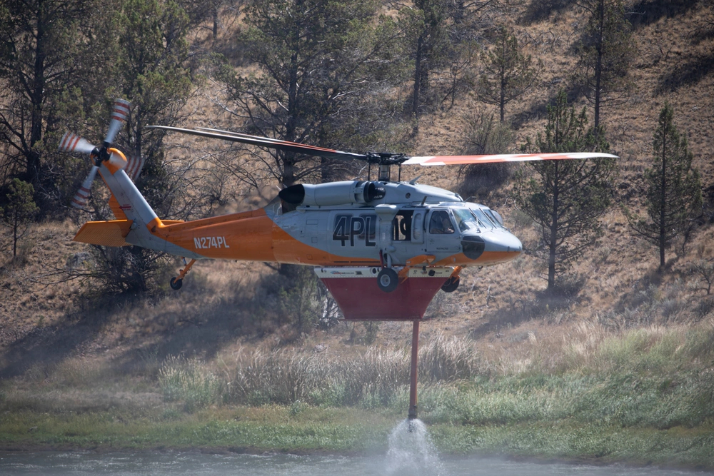
Grass and brush fires are particularly responsive to wind. In open country, flames can move across dry vegetation faster than many people expect, sometimes changing direction with little warning.
Strong winds also make firefighting from the air more difficult. Helicopters and air tankers may have trouble operating safely or placing water and retardant accurately when winds become too powerful.
The National Weather Service says Saturday’s front will create very warm, dry and windy conditions, bringing the potential for rapid growth on both new and existing fires.
That last part matters.
Oregon is not entering this wind event with a clean slate.
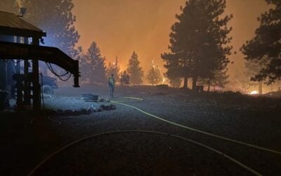
Large fires are already burning in forests, grasslands and rural communities across the state. The July 31 national incident report listed multiple Oregon fires with structures, residences, roads, utilities or other infrastructure threatened.
Among them were the Rowe Creek Complex near Fossil, the Bench Fire near Warm Springs, the Grasshopper Fire in the Mount Hood National Forest, and the Paradise, Hagen and Horse Ridge fires east of Pendleton. Other large fires were burning near Sisters, Baker City, Burns, Enterprise and communities in Southeastern Oregon.
Some of those incidents are inside or near areas expected to experience Saturday’s strongest winds.
Even when firefighters have built containment lines around a fire, powerful wind can test those lines by pushing flames toward their edges or carrying burning material beyond them. That is why seemingly improving containment numbers do not always tell the entire story on a day of extreme fire weather.
One Spark Could Be Enough
Most Oregonians are not deliberately careless with fire.
The problem is that many wildfire starts do not begin with someone standing in the woods holding a match. They can begin with an ordinary activity that produces heat or a spark at exactly the wrong time.
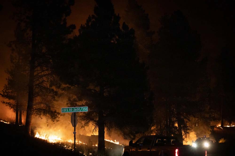
A trailer chain dragging against pavement can throw sparks into dry roadside grass. A vehicle parked over vegetation can ignite grass beneath a hot exhaust system. Equipment used for mowing, cutting, welding or grinding can also produce enough heat to start a fire.
Keep Oregon Green advises drivers to secure chains and other vehicle parts so they cannot drag, and to avoid parking where hot vehicle components could touch dry grass.
Outdoor burning is strongly discouraged during the warning period. Depending on local restrictions, certain activities may already be prohibited.
Oregon’s fire restrictions become progressively tighter as fire danger rises. During extreme conditions, activities such as mowing cured grass, using equipment that can throw sparks and operating vehicles on some unimproved roads may be restricted or banned. Rules vary by district, so residents should check restrictions for the exact area they plan to visit or work in.
Saturday is not the day to assume a small flame will remain small.
Travelers Should Check Conditions Before Leaving
The warning arrives on the first Saturday of August, when thousands of people would normally be traveling toward campgrounds, lakes, mountain trails and rural communities.
Anyone heading east of the Cascades should check road, fire and evacuation information before leaving home—and check it again before returning.
As of early Saturday morning, US 20 remained closed between mileposts 154 and 223 because of wildfire activity, while Oregon Route 245 was limited to local traffic and deliveries, with no through travel permitted. Conditions may change throughout the day as fires and wind affect highways.
Travelers should never drive around a road closure or enter an evacuation area to get a better look at a fire. Besides placing themselves in danger, sightseers can block narrow roads needed by engines, water tenders, ambulances and residents attempting to leave.
Smoke may also reduce visibility far from the flames. Drivers should slow down, turn on their headlights and be prepared for emergency vehicles entering or leaving highways.
Campers need to verify current fire rules at their destination rather than relying on what was allowed during an earlier visit. Some Oregon campgrounds and recreation areas have already prohibited campfires, charcoal fires, candles and other devices that cannot be immediately shut off with a valve.
What Oregonians Can Do Today
People living in or traveling through the warning areas should make sure their phones are charged and emergency alerts are enabled.
Residents near an active fire should know their evacuation zone and be ready to leave before conditions become chaotic. Essential medications, identification, pet supplies, chargers and irreplaceable documents should be easy to grab.
Oregon’s wildfire response portal provides links for local emergency alerts and current fire information. State officials urge residents to have more than one way to receive warnings because power, cellular service and internet connections can fail during emergencies.
For everyone else, the most helpful action may be the simplest: avoid creating a spark.
Do not burn debris. Do not toss cigarettes from vehicles. Do not drag chains. Do not park over dry grass. Follow local restrictions, and report smoke or a possible new fire promptly rather than assuming someone else has already called.
A Serious Beginning to August
August is normally the heart of Oregon’s summer.
It is the season of camping trips, county fairs, river days and long drives through the high desert. But it is also traditionally one of the most dangerous stretches of wildfire season, when weeks of heat have dried grass, brush and forest debris.
This year, the state is entering the month with large fires already burning and firefighters stretched across an enormous landscape.
The rare warning does not guarantee that a catastrophic fire will begin Saturday. Forecasts describe the conditions that are possible, not an outcome that is certain.
But the language being used by forecasters should not be ignored.
Between 2 and 8 p.m., parts of Oregon will experience a combination of dry fuels, low humidity and strong winds serious enough for the National Weather Service to call the situation particularly dangerous.
For people living in the affected communities, Saturday is a day to remain alert.
For the rest of us, it is a day to remember that during an Oregon summer this dry, preventing the next wildfire may come down to one person making one careful decision at the right moment.
For current Oregon fire conditions: Track current fire incidents, mapped evacuation areas, smoke, road conditions, and official resources on our Oregon Wildfire Map.