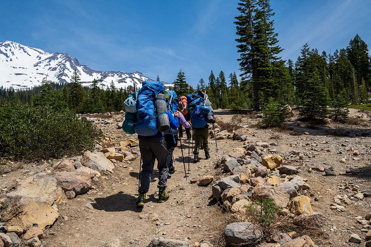
A recent rescue on the California volcano is a sharp reminder that a polished answer from a chatbot is not the same thing as a sound mountain plan. Three novice hikers from Roseville, California, were rescued after becoming stranded during a Mount Shasta climb, according to the Siskiyou County Sheriff’s Office. The group later told a deputy that they had relied heavily on Google’s Gemini tool for information about the Clear Creek Route and what to pack. KTVU reported that authorities found the guidance had left them with too little food and water for the outing that unfolded.
The hikers camped at roughly 8,400 feet, then began their push for Mount Shasta’s 14,179-foot summit around 3 a.m. They did not reach the top until about 7 p.m., long after the sheriff’s office recommended noon turnaround time. The group started down in darkness, called dispatch for directions about an hour later, and eventually left the Clear Creek Route for Mud Creek Canyon.
One hiker injured a knee in the steep drainage, and the group had to spend the night there. U.S. Forest Service climbing rangers found them the next morning, provided medical help, and Siskiyou County Search and Rescue volunteers assisted with the trip back to the trailhead. Everyone returned safely, but the rescue illustrates how several manageable problems can quickly compound in alpine terrain.
The chatbot is not the trip leader
AI can be useful for turning a vague idea into a list of questions. It is not a ranger station, a weather station, a trail crew, or the friend who looks at a plan and says, kindly but firmly, “Absolutely not in those shoes.” A mountain has no interest in how confident an answer sounds on a screen.
A chatbot also cannot notice that the group is moving slowly, a battery is fading, or a seemingly short descent is about to become a dark and complicated one. It does not get cold, thirsty, lost, or stuck in a drainage. The people carrying the packs do, which is why the final call has to belong to them.
Build a plan from primary sources
For a serious hike or climb, start with the agency that manages the land. Check official sources for closures, permits, fire restrictions, weather, seasonal road access, and route-specific warnings. Then use a current map, understand the route well enough to recognize when it no longer matches the terrain, and share a specific itinerary with someone who is not on the trip.
It is also worth planning for the ordinary things that become emergencies when a day goes sideways. Carry more than one way to navigate, keep a phone as a backup rather than a sole lifeline, and bring food, water, insulation, light, and other essentials that fit the route and season. A vague packing list generated for an average outing is not a substitute for a plan tailored to the group, forecast, and place.
For Mount Shasta specifically, the Forest Service’s current wilderness order states that visitors need a valid Wilderness Permit in the wilderness area below 10,000 feet and both a Wilderness Permit and Summit Permit above 10,000 feet. Hikers should confirm the latest requirements directly with the Shasta-Trinity National Forest before any trip.
The turnaround is part of the trip
There is a particular kind of optimism that takes hold when a summit is finally in sight. It can make a turnaround time feel negotiable, especially after hours of effort. On a mountain, however, the descent is not an afterthought. It is part of the route, and it often happens when people are tired, weather is changing, and daylight is disappearing.
That is the lesson from Mount Shasta. Use technology, ask good questions, and gather information widely. But when it is time to choose a route, pack for the day, assess conditions, or turn around, put official local guidance, reliable navigation, preparation, and human judgment ahead of the algorithm. The summit will still be there tomorrow, and it does not mind waiting.