
The statewide discovery guide
The Complete Guide to Oregon Waterfalls
Find the right waterfall for the day you actually want—from an easy roadside stop to a backcountry trail—and compare its planning notes, source links, and current-review status.
Plan with confidence
Start with the trip, not the checklist
This guide focuses on public waterfall destinations across Oregon. Each listing gives its trip-planning context, source links, and any specific access note we can document; facts without a dependable source stay out of the guide.
Conditions are not live. Roads, permits, fire closures, storm damage, and snow change quickly, so check the linked land-manager alert and your route-specific weather and road conditions before leaving home.
Find your waterfall
What kind of day are you planning?
Combine a few practical filters. The same choices update the listings and map without creating disposable search URLs.
See the whole state
Oregon waterfalls map
Map pins use public parking areas or trailheads rather than sensitive off-trail coordinates.
80 map destinations shown. Directions lead to the documented access point.
Choose the day you want
Find waterfalls by experience
Roadside
A developed viewpoint or signed pullout with little walking.
33 destinationsShort walk
A quick outing generally around a mile round trip or less.
42 destinationsHike
A trail day where the waterfall is the destination.
1 destinationsBackcountry
Longer mileage, remote access, or more consequential terrain.
Seven ways across Oregon
Browse waterfalls by region
Every listed destination remains available without the interactive map or filters.
19 destinations
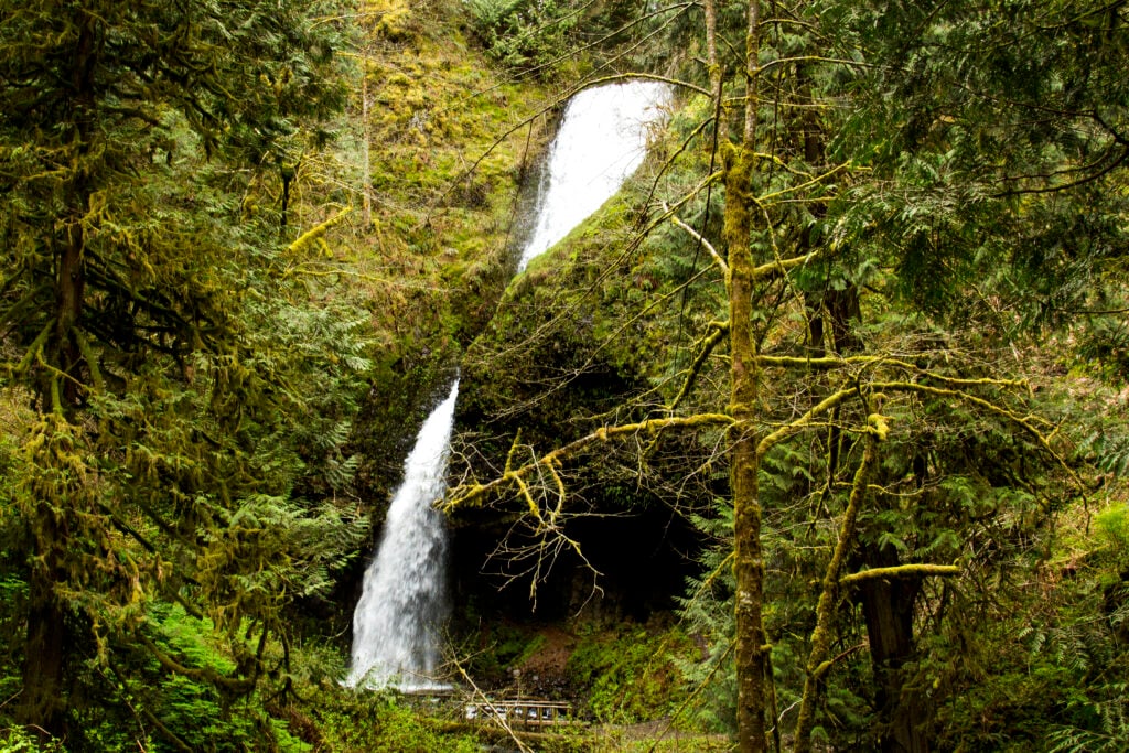
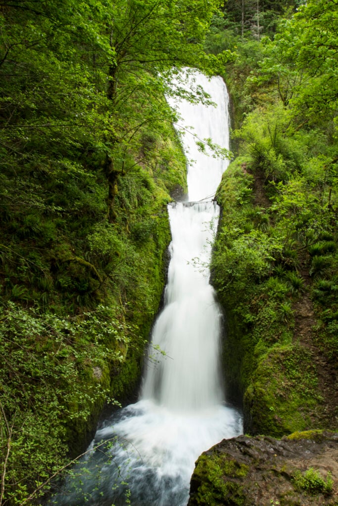
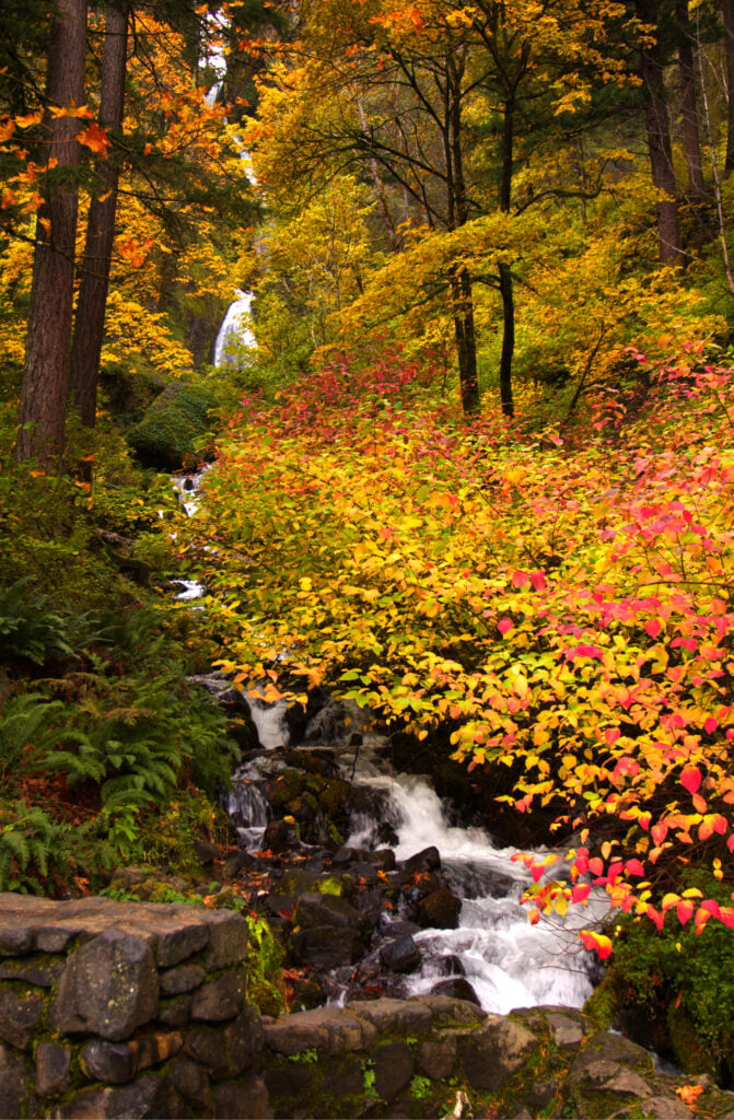
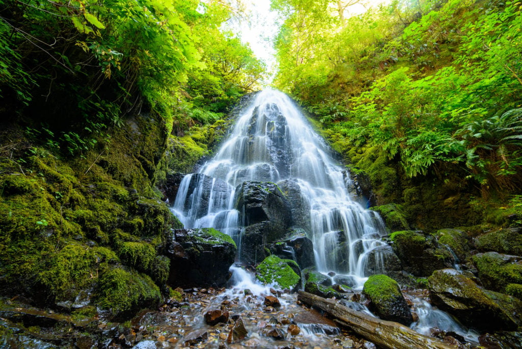
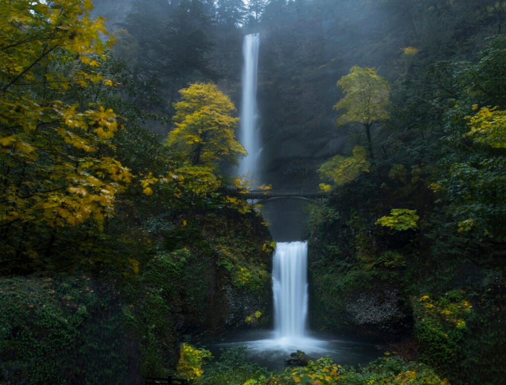
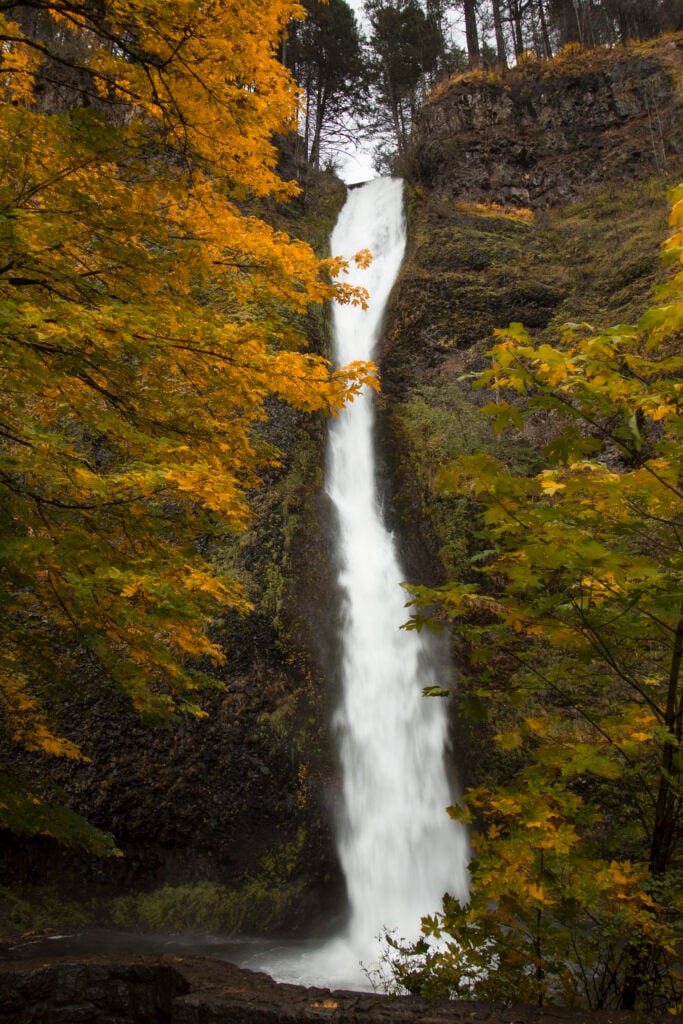
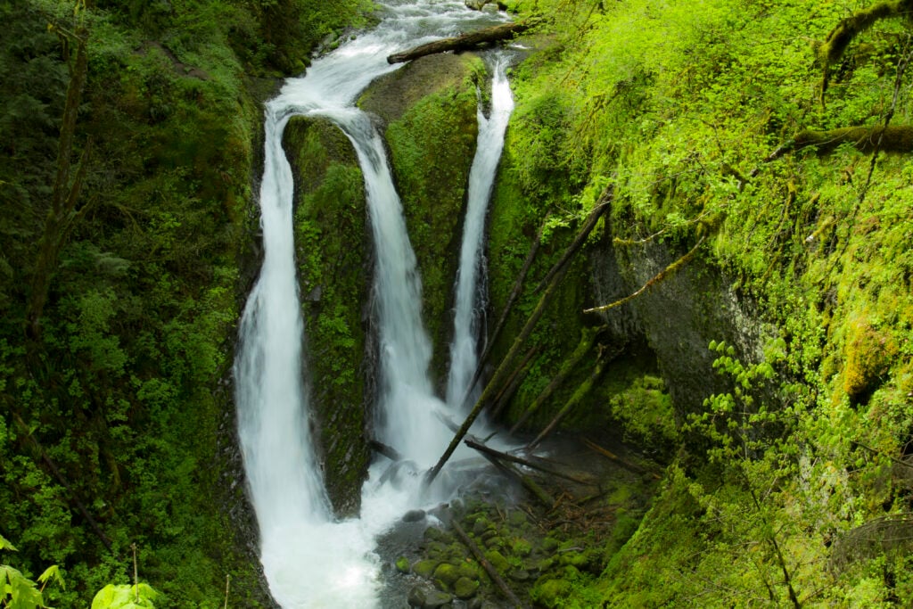
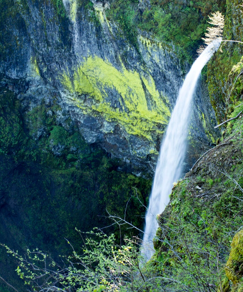
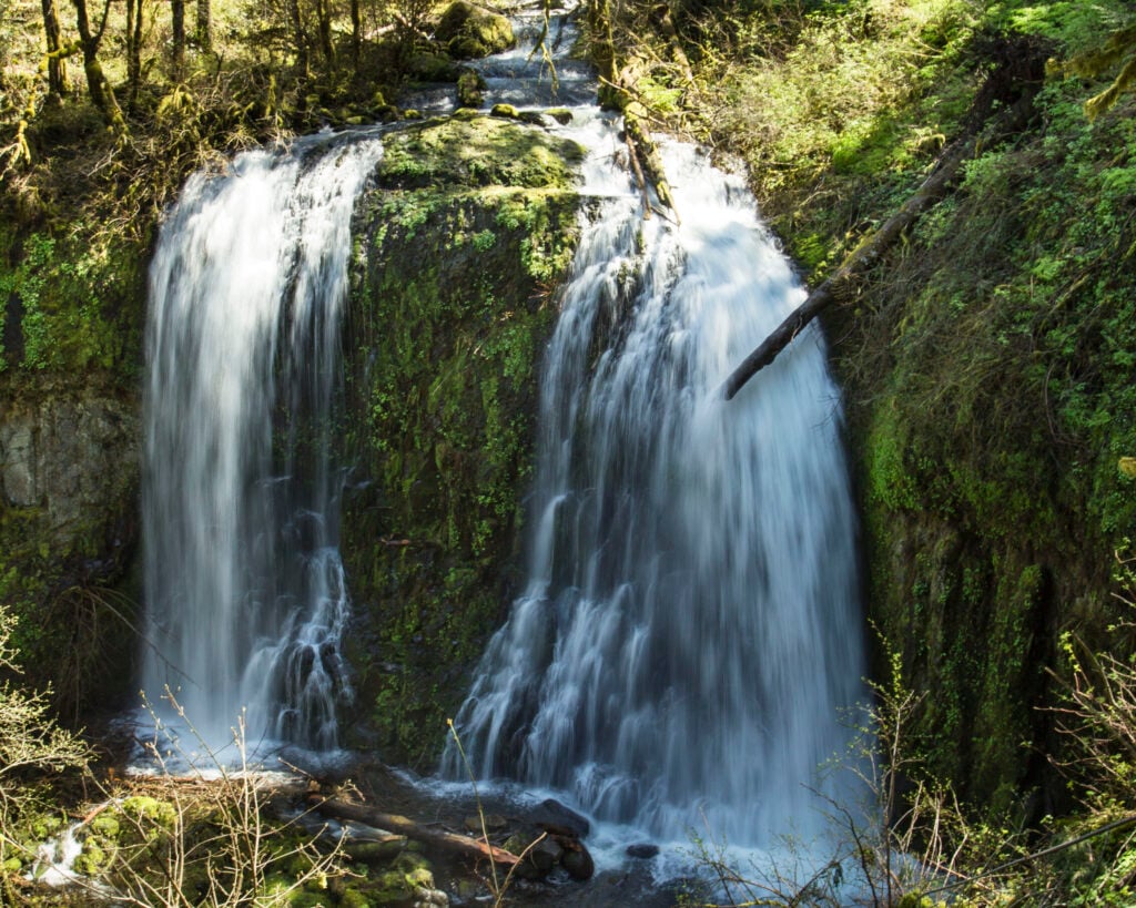
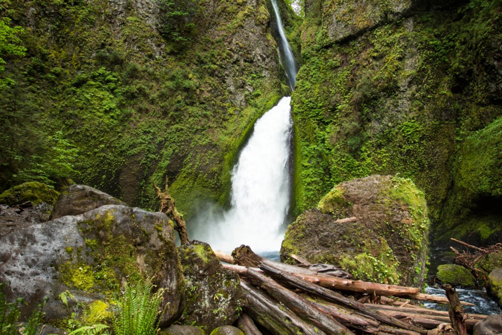
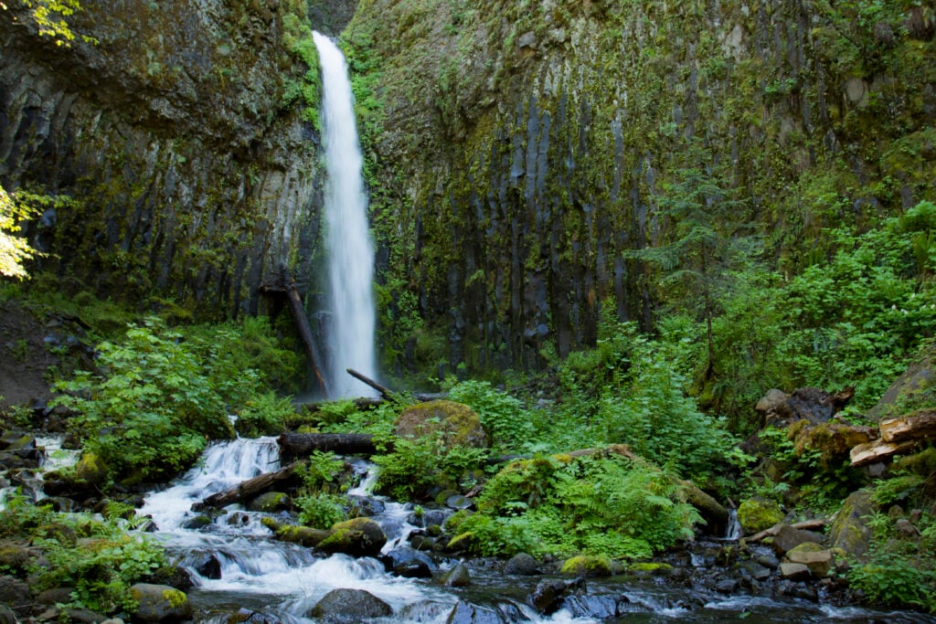
Columbia River Gorge
Roadside classics, short forest walks, and longer cliffside trails east of Portland.
Read the related That Oregon Life regional guide →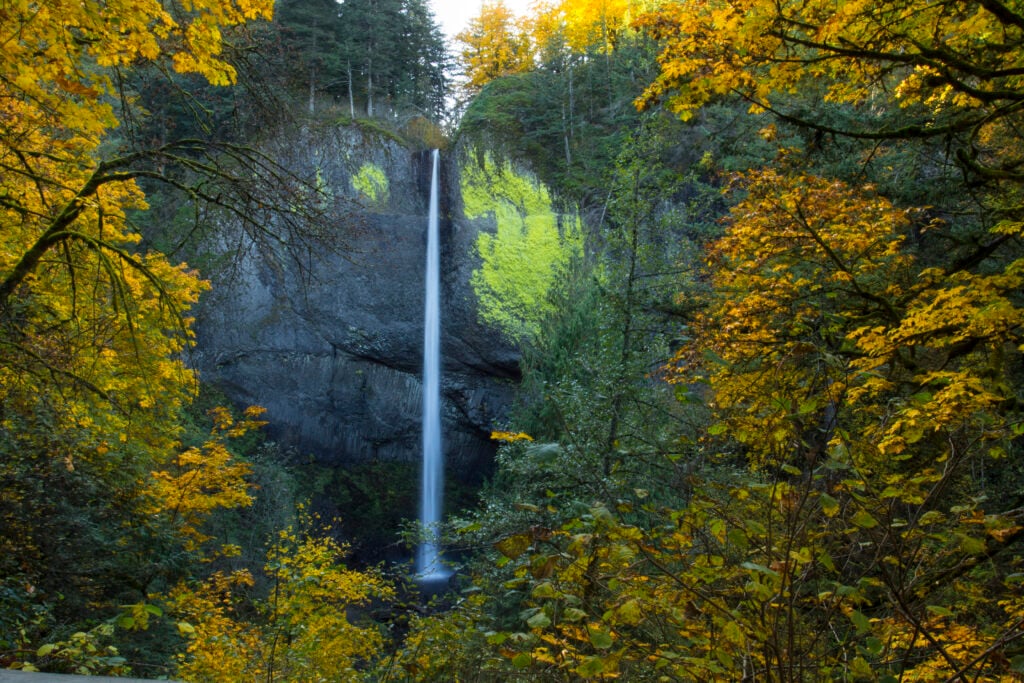
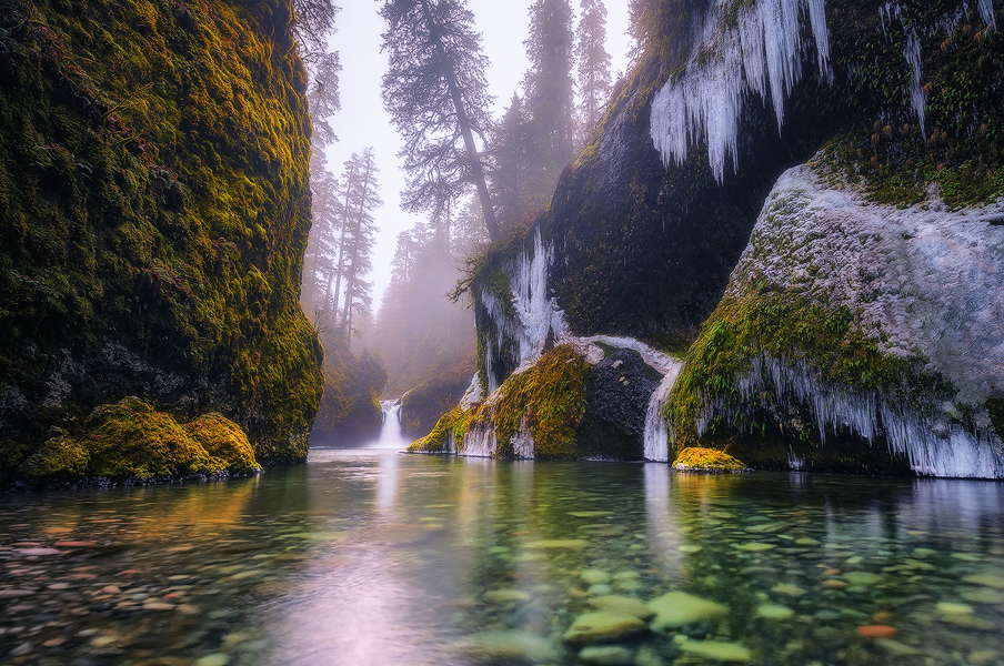
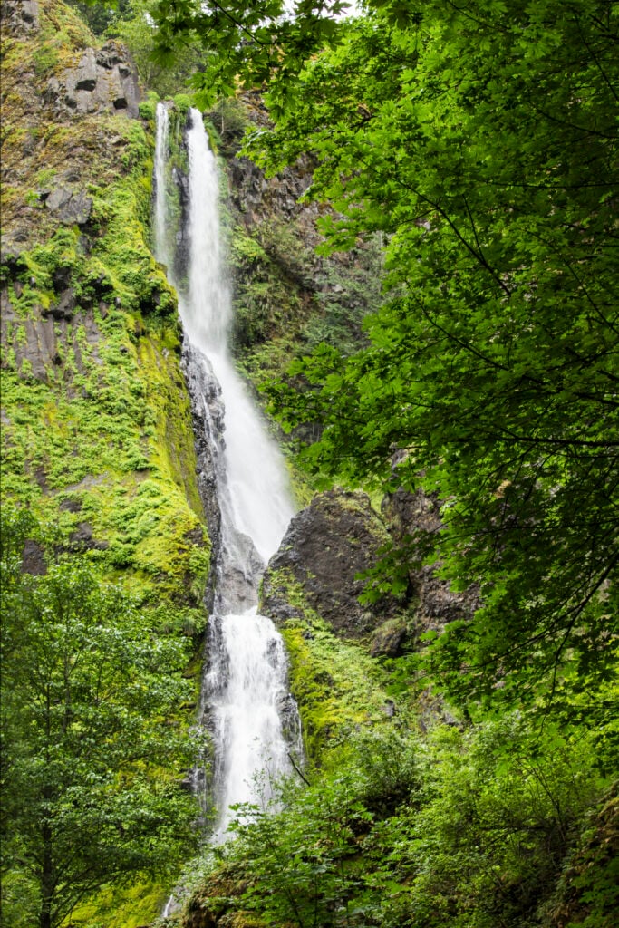
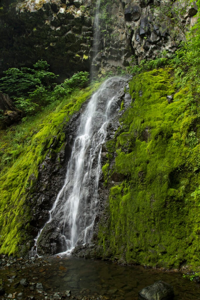
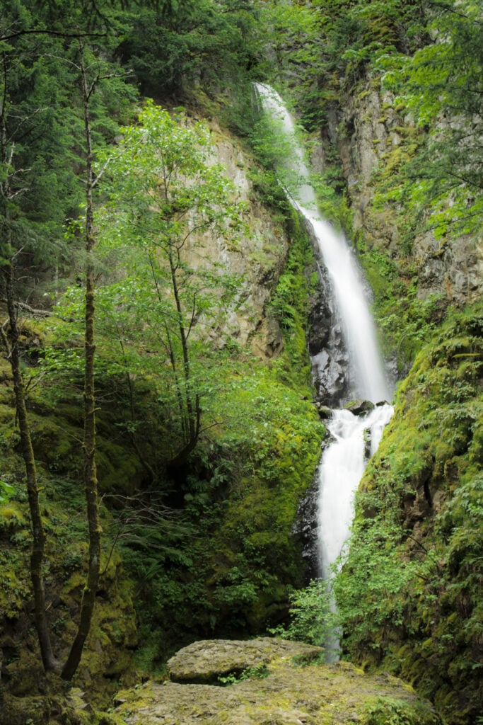
5 destinations
Portland and Mount Hood
Urban viewpoints, forest cascades, and mountain trails around Portland and Mount Hood.
Read the related That Oregon Life regional guide →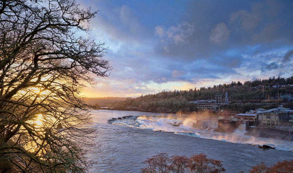
15 destinations
Willamette Valley
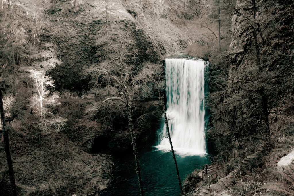
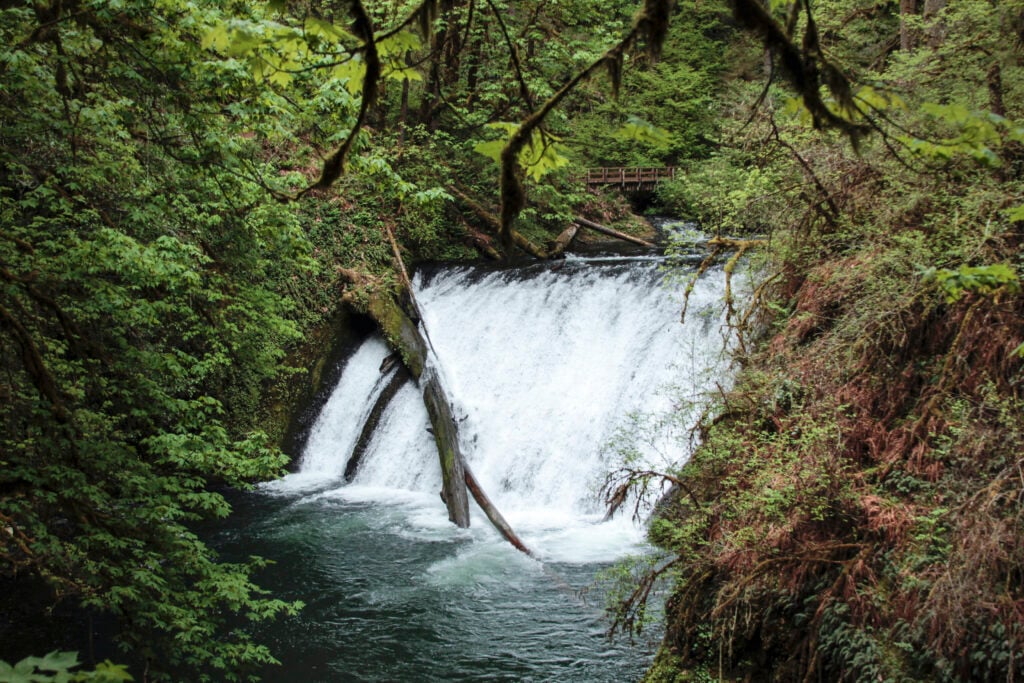
Silver Falls country, family-friendly county parks, and wooded foothill hikes.
Read the related That Oregon Life regional guide →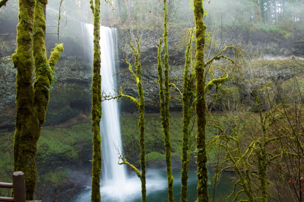
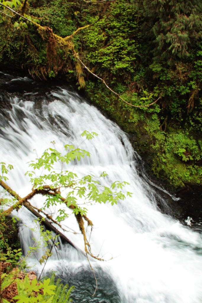
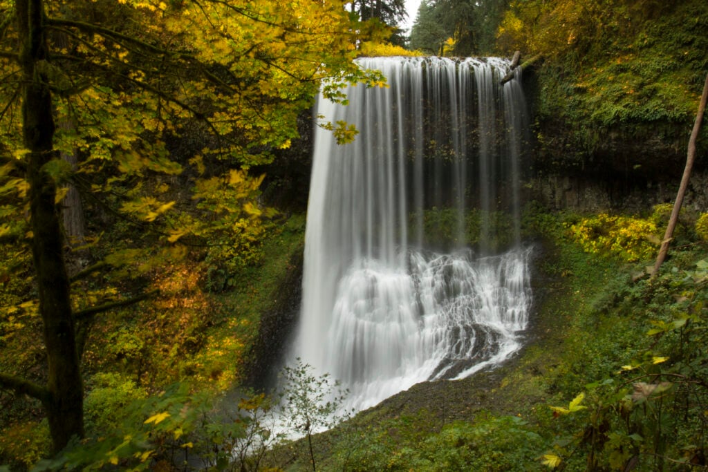
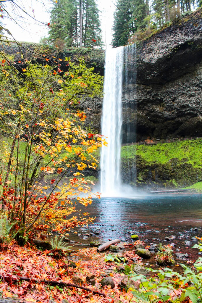
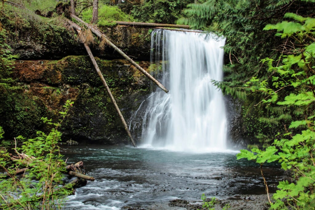
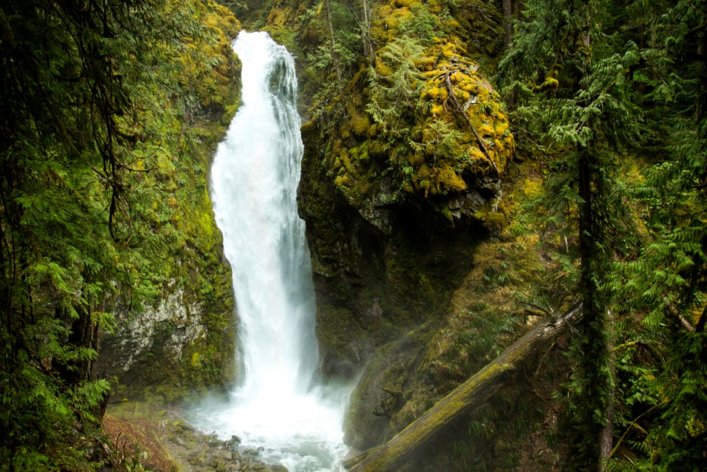
15 destinations
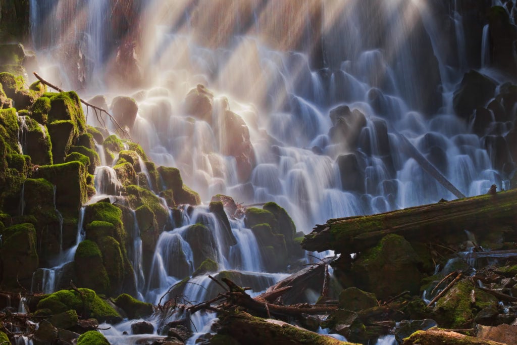
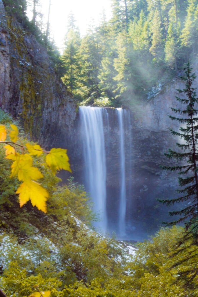
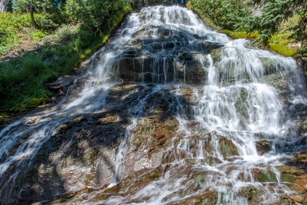
Central Oregon and the Cascades
Spring-fed cascades, volcanic canyons, and high-country trails with seasonal access.
Read the related That Oregon Life regional guide →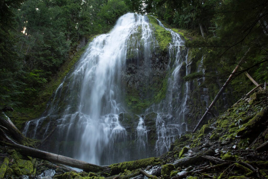
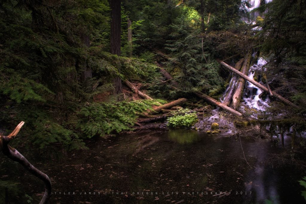
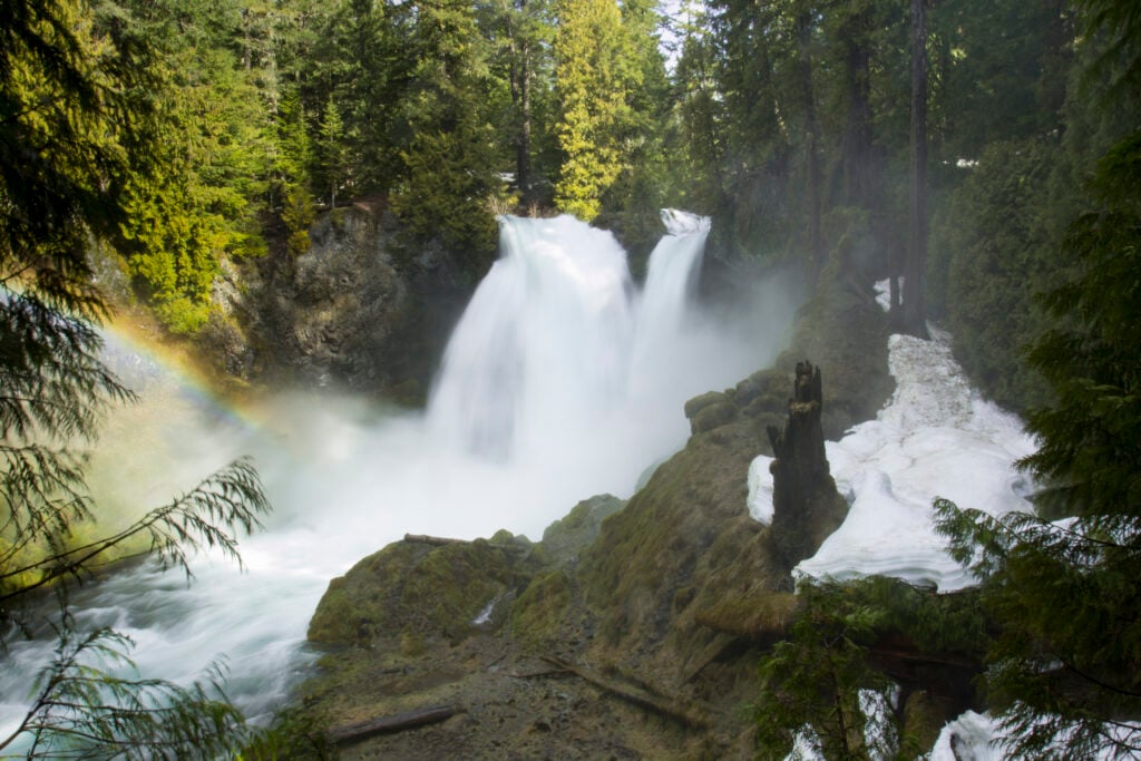
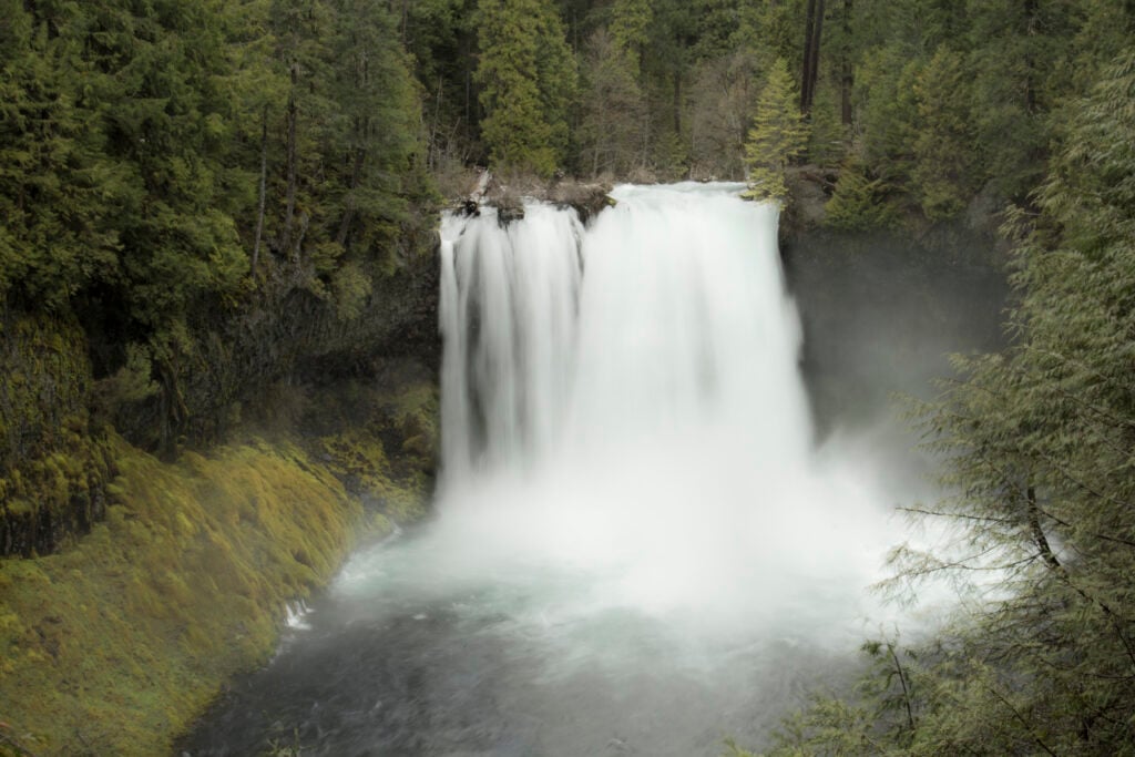
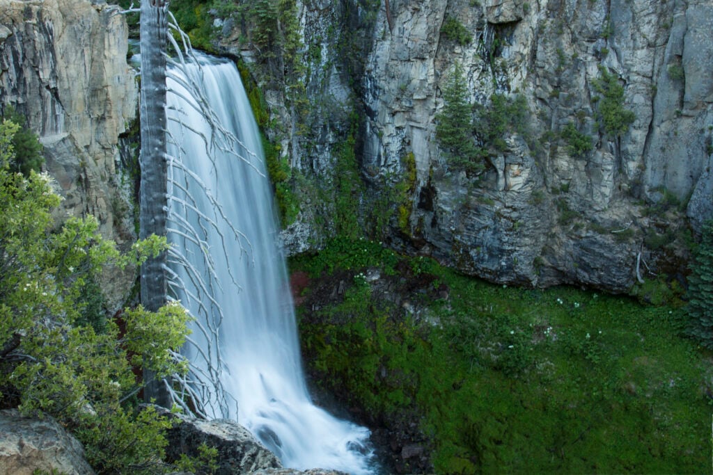
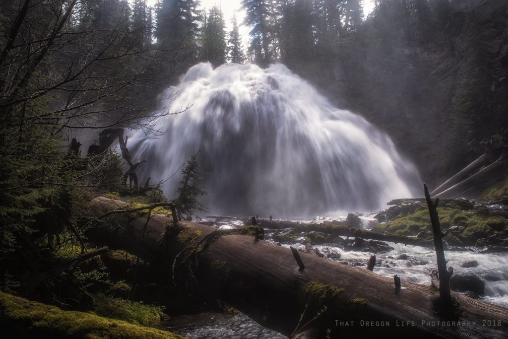
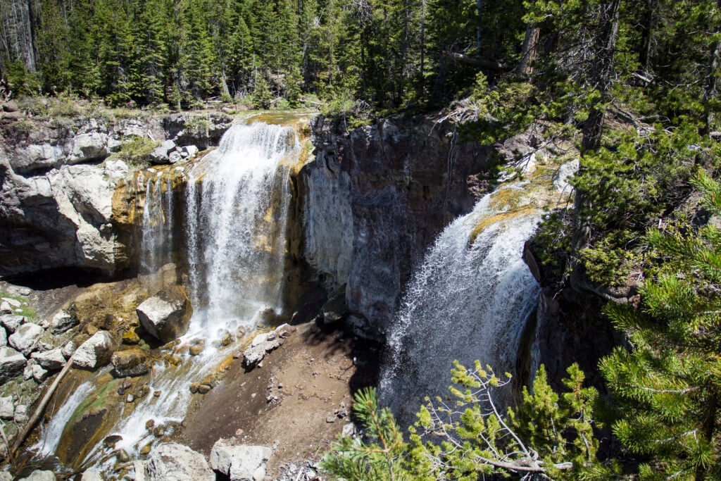
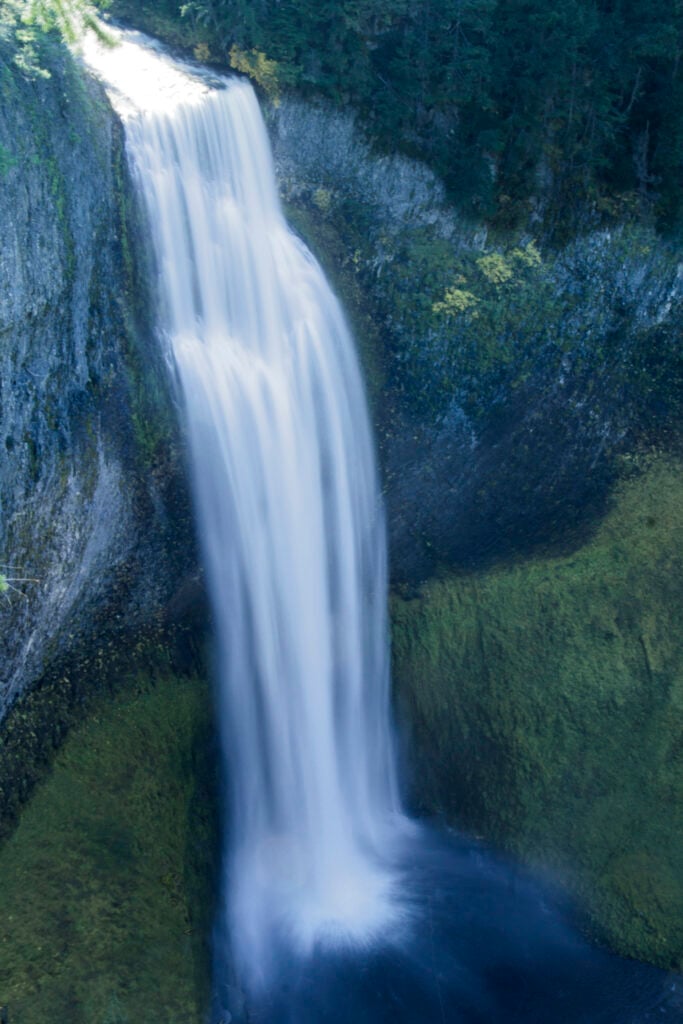
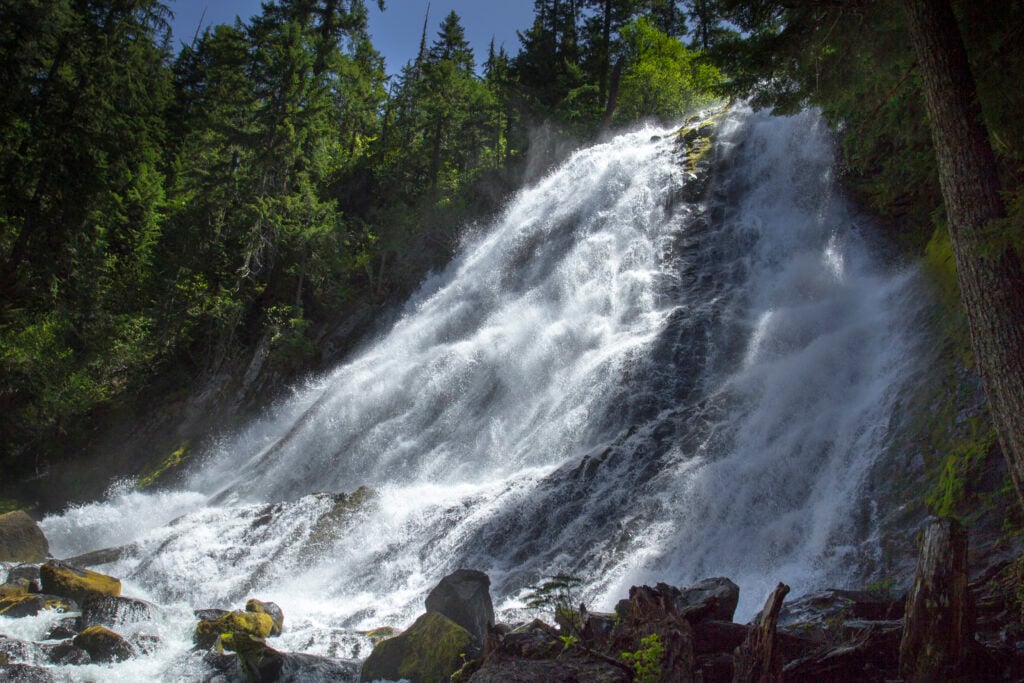
15 destinations
Southern Oregon
The Umpqua waterfall corridor, Crater Lake country, and Rogue Valley day trips.
Read the related That Oregon Life regional guide →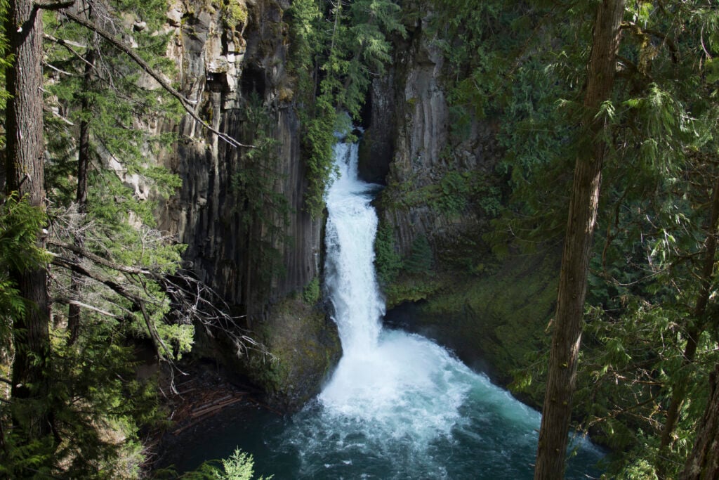
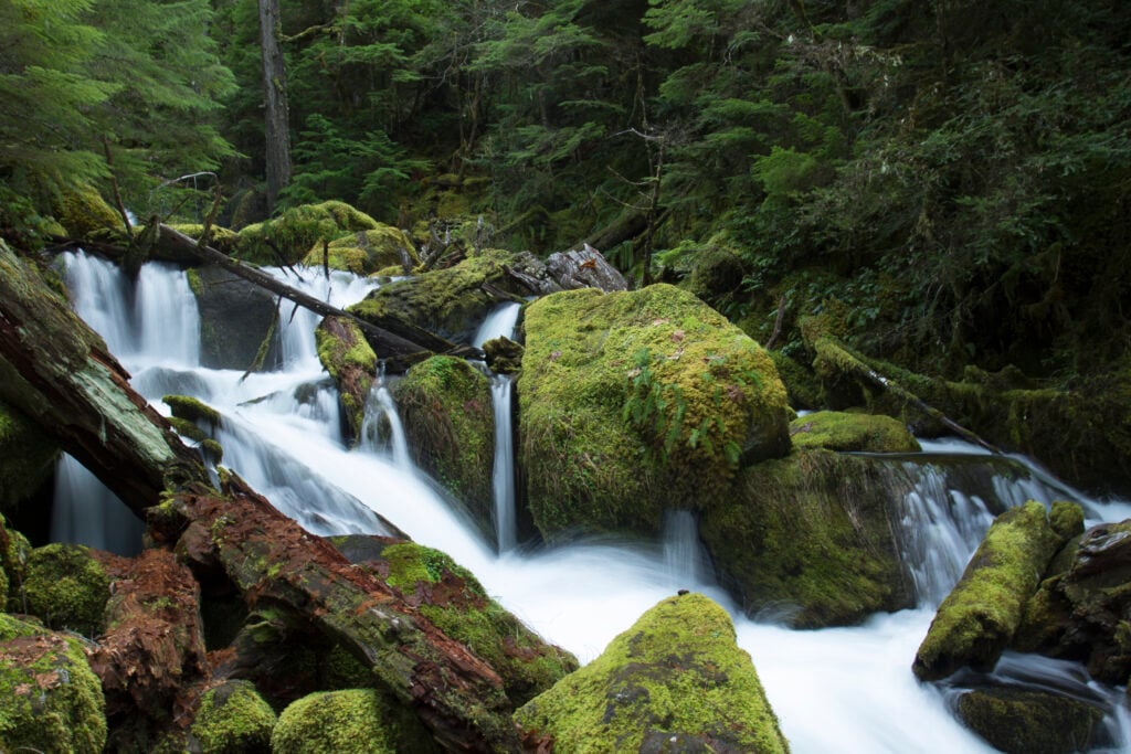
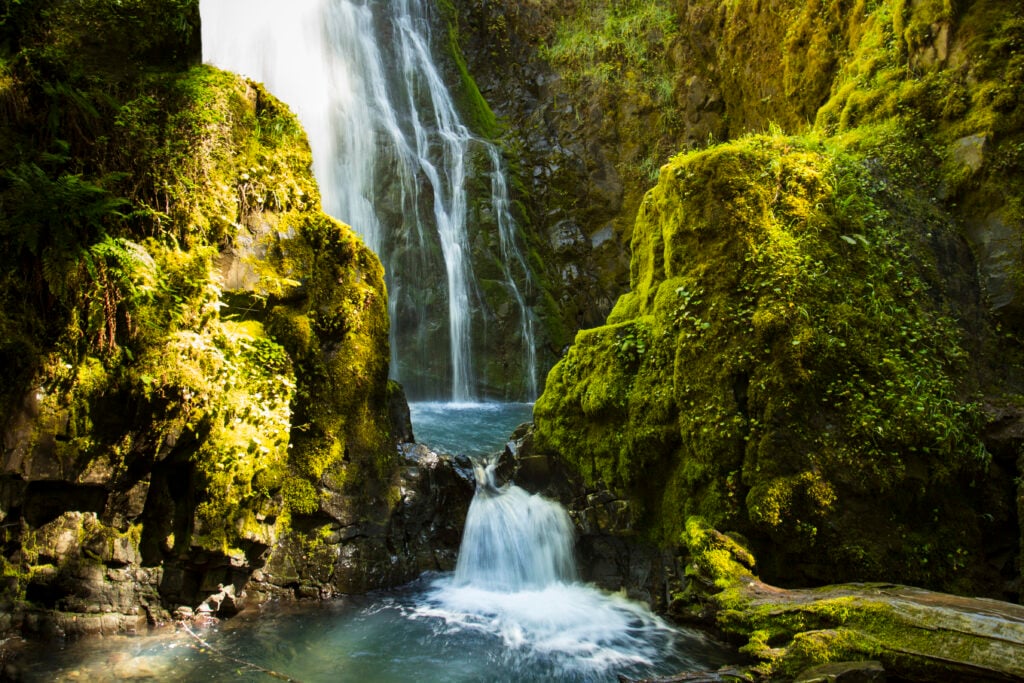
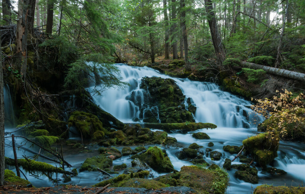
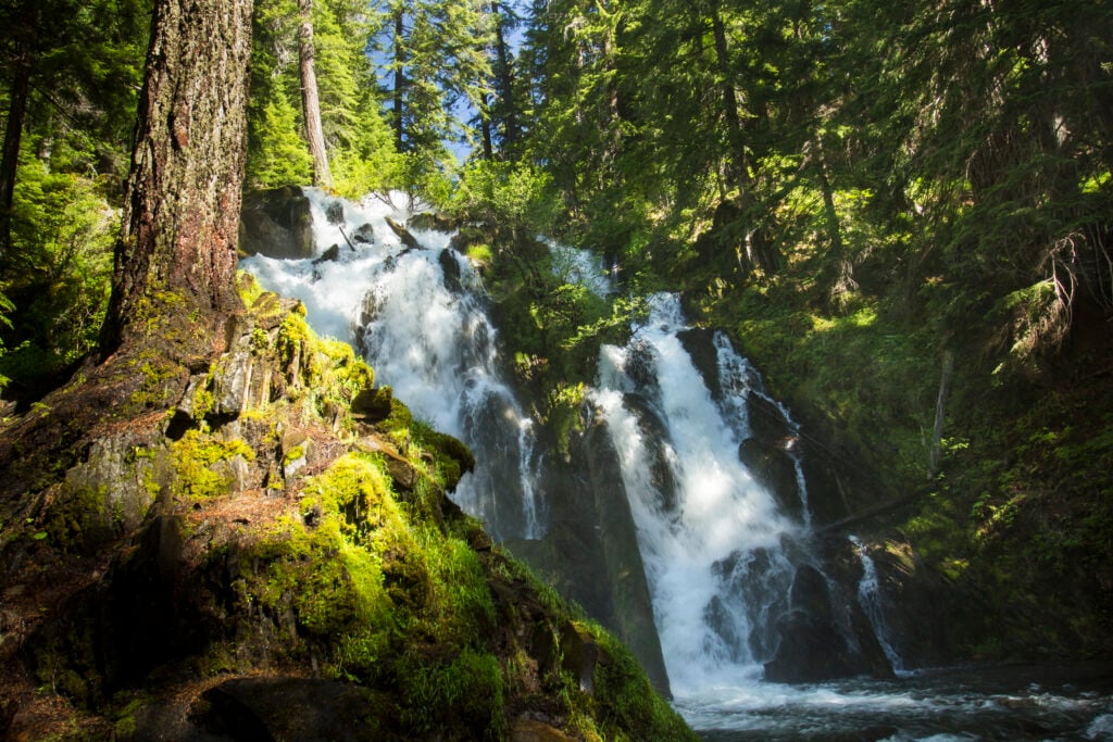
Susan Creek Falls
- 1.6 miround trip
- Easydifficulty
Access note: confirm current conditions before travel.
Open complete guide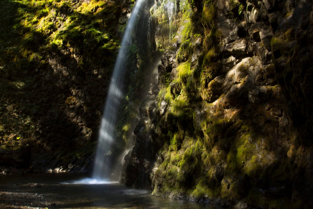
10 destinations
Oregon Coast and Coast Range
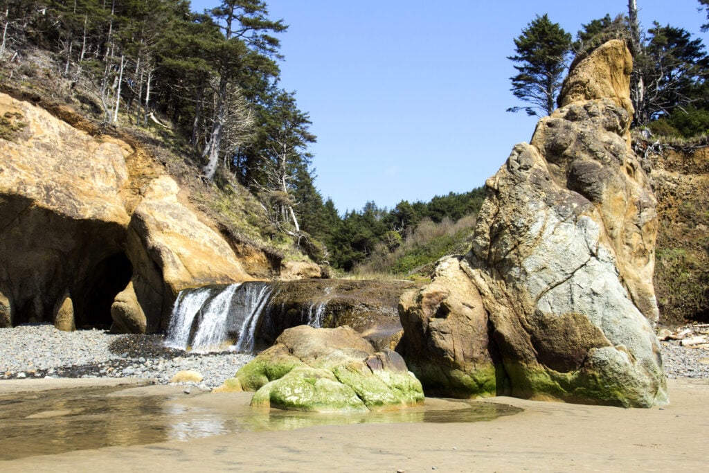
Rain-fed forest falls, beach cascades, and trails that pair naturally with a coast trip.
Read the related That Oregon Life regional guide →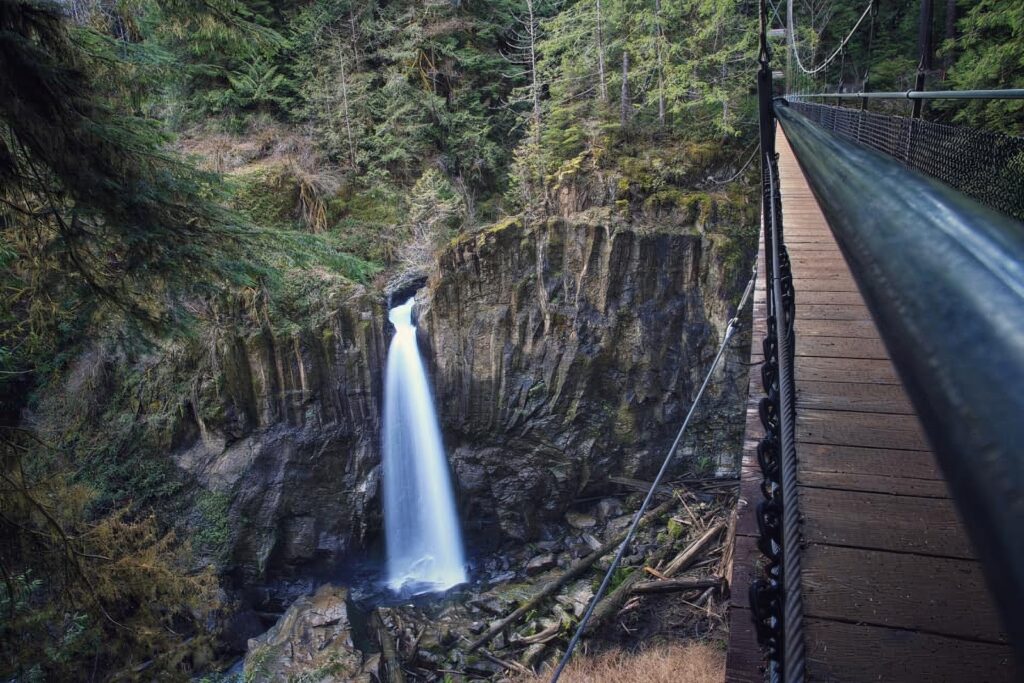
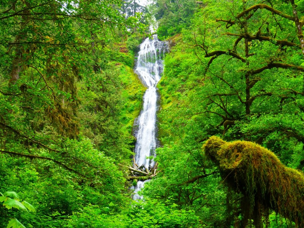
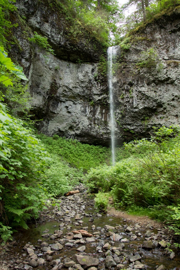
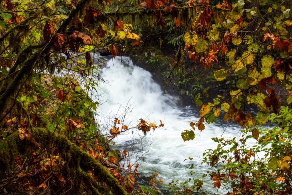
Sweet Creek Falls
- 0.8 miround trip
- Easydifficulty
Access note: confirm current conditions before travel.
Open complete guide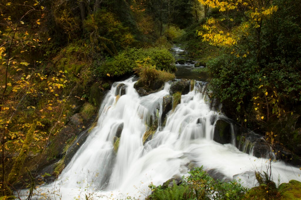
Beaver Creek Falls
- 0.3 miround trip
- Easydifficulty
Access note: confirm current conditions before travel.
Open complete guide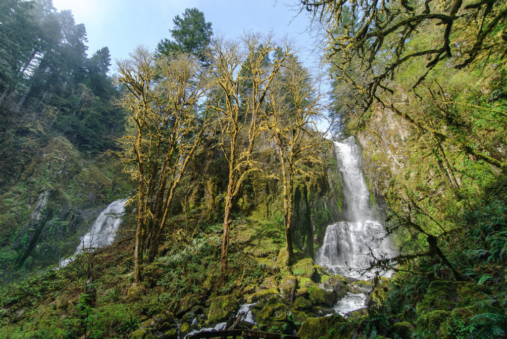
1 destinations
Eastern Oregon
Remote mountain cascades where road, snow, and wildfire conditions matter as much as mileage.
Know before you go
Waterfall safety is different
Cold moving water, polished rock, cliffs, and unofficial routes can turn a beautiful stop into a serious emergency.
Stay on the established route
Never climb around railings, enter a closure, or descend viewpoint user trails.
Treat water as hazardous
Do not jump or dive, and never play in the stream above a waterfall.
Check live conditions
Review the land manager’s alert, TripCheck, and the trailhead forecast.
Know when to turn around
Flooded crossings, ice, heat, smoke, road damage, and fading daylight are all valid reasons to stop.
Our stewardship promise
Leave Oregon’s waterfalls as you found them
Plan legal access, stay on the route, pack out every trace, leave natural things, keep water clean, give wildlife and people room, and protect sensitive places.
Practical answers
Oregon waterfall FAQs
What is the best time of year to see Oregon waterfalls?
Winter and spring usually bring the strongest flow west of the Cascades. High-elevation roads and trails may remain snow-covered into summer, while some coastal and desert falls are seasonal.
Which Oregon waterfalls require little or no hiking?
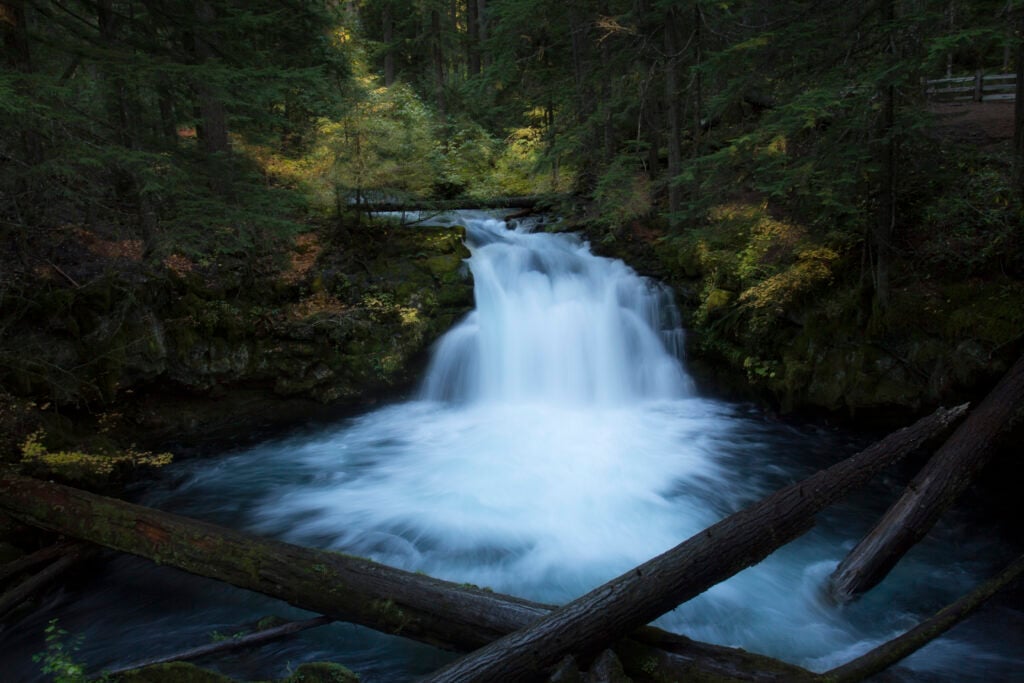
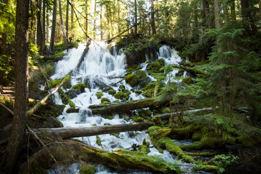
Horsetail Falls, Whitehorse Falls, Clearwater Falls, Starvation Creek Falls, and several developed viewpoints require little walking when their roads and facilities are open.
Do I need a permit or parking pass?
It depends on the land manager, season, and trailhead. Some sites accept federal recreation passes, Oregon State Parks charges day-use fees at selected parks, and popular destinations may use seasonal reservations.
Can I swim below Oregon waterfalls?
Do not assume a plunge pool is safe. Cold water, submerged hazards, strong currents, falling rock, and sudden high water can be deadly. Follow posted restrictions and stay out where swimming is prohibited.
Why can multiple waterfalls share one map pin?
The guide maps official parking and trailheads instead of sensitive waterfall coordinates. Several falls on the same trail or in the same park may correctly share one access point.
This directory is reviewed record by record, not by a blanket sitewide date. Conditions are not live; always check the linked land-manager alert and route conditions before traveling.