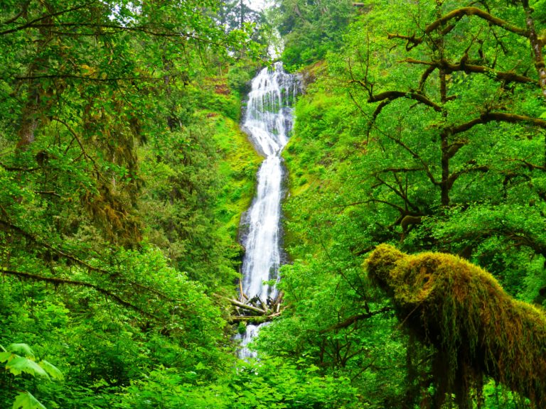
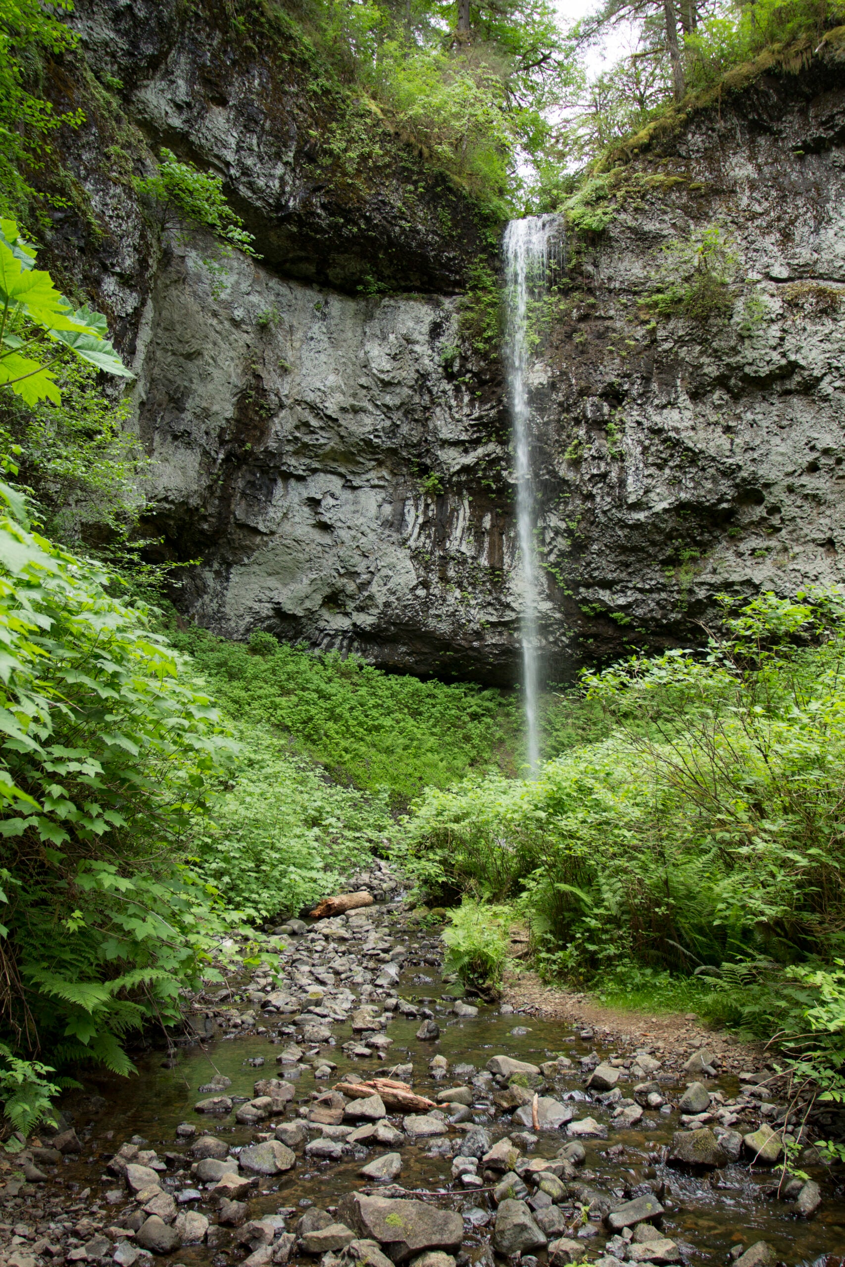
 Photo by Bonnie Moreland
Oregon Coast and Coast Range · Near Coast Range
Pheasant Creek Falls in the Coast Range (Yamhill County)
Pheasant Creek Falls in the Coast Range (Yamhill County) is a hike waterfall outing near Coast Range in Oregon Coast and Coast Range. This guide rates the visit moderate and collects the practical information available for planning responsibly.
- DifficultyModerate
- AccessHike
- Round trip2 mi
- Nearest townCoast Range
The place
Why Pheasant Creek Falls in the Coast Range (Yamhill County) is worth the stop
Pheasant Creek Falls shares a Coast Range route with Niagara Falls. Plan for the one combined trail experience rather than treating this as a duplicate independent hike.
What the experience feels like
Expect 2-mile round-trip hike with a moderate difficulty rating. Conditions can change quickly, so check the official source before the drive.
Visit details
Plan your trip
- Waterfall status
- Natural waterfall
- Public access
- Public destination; verify current alerts before travel
- Region
- Oregon Coast and Coast Range
- County
- Yamhill
- Nearest town
- Coast Range
- Access type
- Hike
- Round-trip distance
- 2 mi
- Difficulty
- Moderate
- Parking
- Use the signed public trailhead or day-use area
- Road conditions
- Forest road access; verify conditions
- Facts reviewed
- Editorial verification required before production
No star ratings
Why this is rated moderate
The moderate rating reflects hike access and approximately 2 mi round trip. Expect more effort or route complexity than a developed roadside viewpoint or very short walk.
EasyMinimal distance or straightforward developed access.
ModerateMore mileage, uneven terrain, or conditions requiring preparation.
HardLong, remote, exposed, or otherwise consequential travel.
Difficulty is a planning aid, not a guarantee. Snow, ice, heat, high water, trail damage, and individual ability can change the experience substantially.
Independent local picks
Eat and stay near Coast Range
Services may be limited near this trailhead. Bring food, water, and fuel, and verify every stop before traveling. These are editorial suggestions, not paid placements.
Plan to be self-sufficient.
Bring food, water, fuel, and an offline map rather than assuming services will be open near the trailhead.
Keep exploring
Other waterfalls nearby
Selected from the same practical road, park, or trail corridor and kept within a geographic guardrail. Fewer useful choices are shown instead of filling the list with distant places.