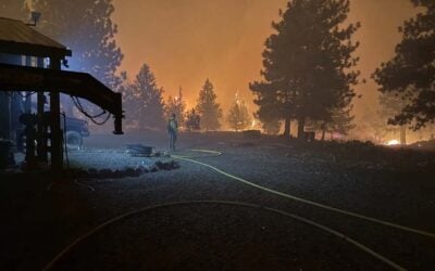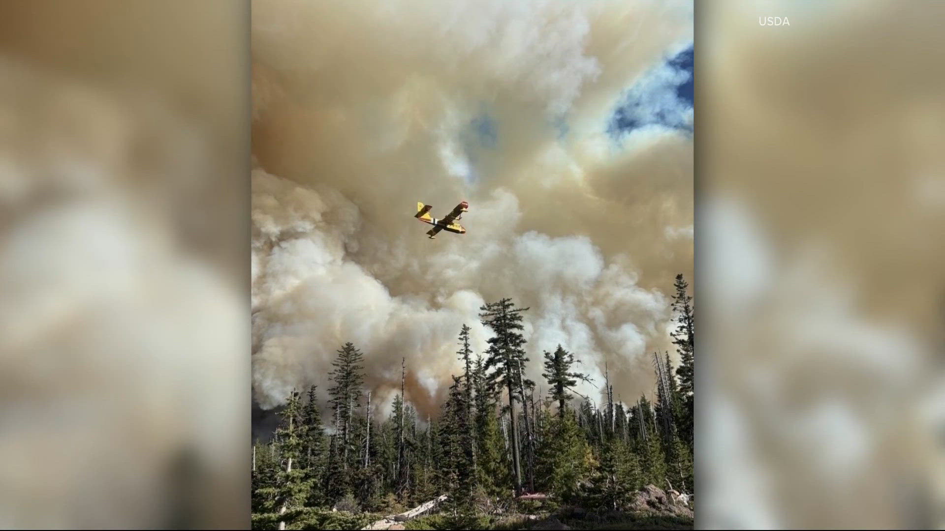
Mt. Hood Meadows is under a Level 3 “Go Now” evacuation order as the Grasshopper Fire continues burning through the forests east of Mount Hood.
The popular ski resort announced the evacuation Tuesday morning, asking employees, visitors, and members of the public to stay away from the area while firefighters respond to the growing emergency.
Resort officials said they were communicating with the U.S. Forest Service and closely watching weather conditions that could affect the fire.
For generations of Oregonians, Mt. Hood Meadows has been a place associated with winter powder days, summer wildflowers, mountain drives, and sweeping views of Oregon’s tallest peak. Seeing the resort placed under the state’s highest evacuation level is another sobering sign of just how serious the 2026 wildfire season has become.
A Level 3 evacuation means people should leave immediately. It is not a warning to begin packing or wait for another update. Anyone in the affected area is advised to go now, while roads remain open and emergency crews can continue moving safely through the region.
Grasshopper Fire Grows Beyond 31,000 Acres
The Grasshopper Fire had reached approximately 31,500 acres by Tuesday morning and was reported at 17 percent containment.
The lightning-caused fire is burning across Wasco and Hood River counties, including rugged sections of the Mt. Hood National Forest where steep slopes, dense vegetation, and limited road access can make firefighting especially difficult.
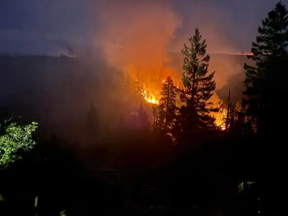
Crews have spent recent days building and reinforcing containment lines while protecting homes, historic sites, and rural communities near the fire.
Firefighters have also worked around Pine Hollow, where more than 170 structures have required protection as the fire moved through surrounding forests and grasslands.
Hundreds of firefighters and support personnel are assigned to the incident, with additional help arriving from outside Oregon. Aircraft, engines, hand crews, water tenders, and structural protection teams have all been part of the response.
The fire has already left a painful mark on the Mt. Hood National Forest. The historic Flag Point Fire Lookout, which had watched over the surrounding wilderness for roughly a century, was destroyed as flames moved through the area.
For many Oregonians, the lookout was more than a structure on a distant ridge. It was part of the history of Oregon’s forests and the generations of people who have worked to spot fires before they could grow.
Public Asked to Stay Away From Mt. Hood Meadows
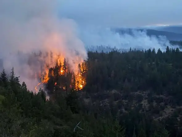
Mt. Hood Meadows officials are asking everyone to avoid the resort and surrounding roads until conditions improve.
Even people who are simply curious about the fire can create problems for emergency crews. Additional vehicles may block narrow forest roads, interfere with evacuation traffic, or slow engines and equipment traveling toward the fire.
Conditions near a wildfire can also change with very little warning. A shift in wind can push smoke and flames toward a road that appeared safe only a short time earlier.
The Grasshopper Fire has moved west, and as a result, Mt. Hood Meadows is now under a Level 3 — Go Now evacuation order. pic.twitter.com/etCgheE2BU
— Paul White Gold Eagle (@PaulGoldEagle) August 4, 2026
Anyone planning to travel through the Mount Hood area should check current evacuation maps, forest closures, and highway conditions before leaving home.
Visitors should not rely solely on mapping apps, which may direct drivers onto closed roads or into areas where firefighting operations are underway.
Oregon’s Fire Season Moves Into Record Territory
The evacuation at Mt. Hood Meadows comes as Oregon enters historic and deeply troubling wildfire territory.
As That Oregon Life reported Monday, 60 large fires had already burned an estimated 2,014,481 acres across Oregon by the morning of August 3.
That placed the state only 67,180 acres below the previous single-season record of 2,081,661 acres, established during the devastating 2024 wildfire season.
Newer reporting indicates Oregon has since surpassed a major statewide wildfire acreage record, with weeks of hot, dry summer weather still ahead.
Statewide totals can vary depending on when maps are updated, which incidents are included, and how agencies classify large fires. Smaller incidents may not appear in the Northwest Interagency Coordination Center’s daily large-fire count, while improved mapping can cause the reported size of individual fires to increase or decrease even when the perimeter has not significantly changed.
The final acreage for 2026 will not be confirmed until wildfire season ends and agencies review the complete incident data.
What is already clear, however, is that Oregon crossed the 2-million-acre mark remarkably early.
At the beginning of the week, five enormous incidents accounted for more than 1.2 million acres of the statewide total.
Those fires included the Big Grass Fire, Rowe Creek Complex, Coleman Creek Fire, Hay Creek Complex, and Second Flat Fire. Each had burned more than 100,000 acres, with the Big Grass Fire and Rowe Creek Complex both exceeding 300,000 acres.
The Rowe Creek Complex alone had grown to more than 320,000 acres, an area covering roughly 500 square miles of Central Oregon.
More Than Numbers on a Fire Map
Two million acres is difficult to picture from a daily fire report.
It represents forests, sagebrush country, wildlife habitat, grazing land, tribal lands, family ranches, historic structures, and rural communities spread across Oregon.
It also represents thousands of firefighters working long shifts in smoke, heat, wind, and steep terrain.
Behind every containment percentage are crews cutting fireline, protecting homes, clearing hazardous trees, operating heavy equipment, and searching for hot spots that could flare up again.
For people living near active fires, officials recommend preparing before evacuation levels change.
Vehicles should be kept fueled. Important documents, medications, chargers, pet supplies, and basic necessities should be placed where they can be collected quickly. Livestock owners should make transportation arrangements before roads become crowded or conditions worsen.
Residents should also know the difference between Oregon’s three evacuation levels.
Level 1 means be ready. Level 2 means be set to leave at a moment’s notice. Level 3 means leave immediately.
At Mt. Hood Meadows, that final order has now been issued.
The resort will remain off-limits while firefighters work nearby and officials evaluate the changing conditions. The public is being asked to give emergency crews the room they need and resist the urge to drive toward the mountain for a closer look.
Oregonians know that wildfire has always been part of living in this state. But the speed, scale, and intensity of the 2026 season have brought that reality into sharper focus.
For now, the slopes, trails, and familiar mountain views at Mt. Hood Meadows will have to wait.
The priority is getting people out safely and giving firefighters every possible opportunity to protect the mountain, nearby communities, and the places Oregonians hope will still be standing when the smoke finally clears.