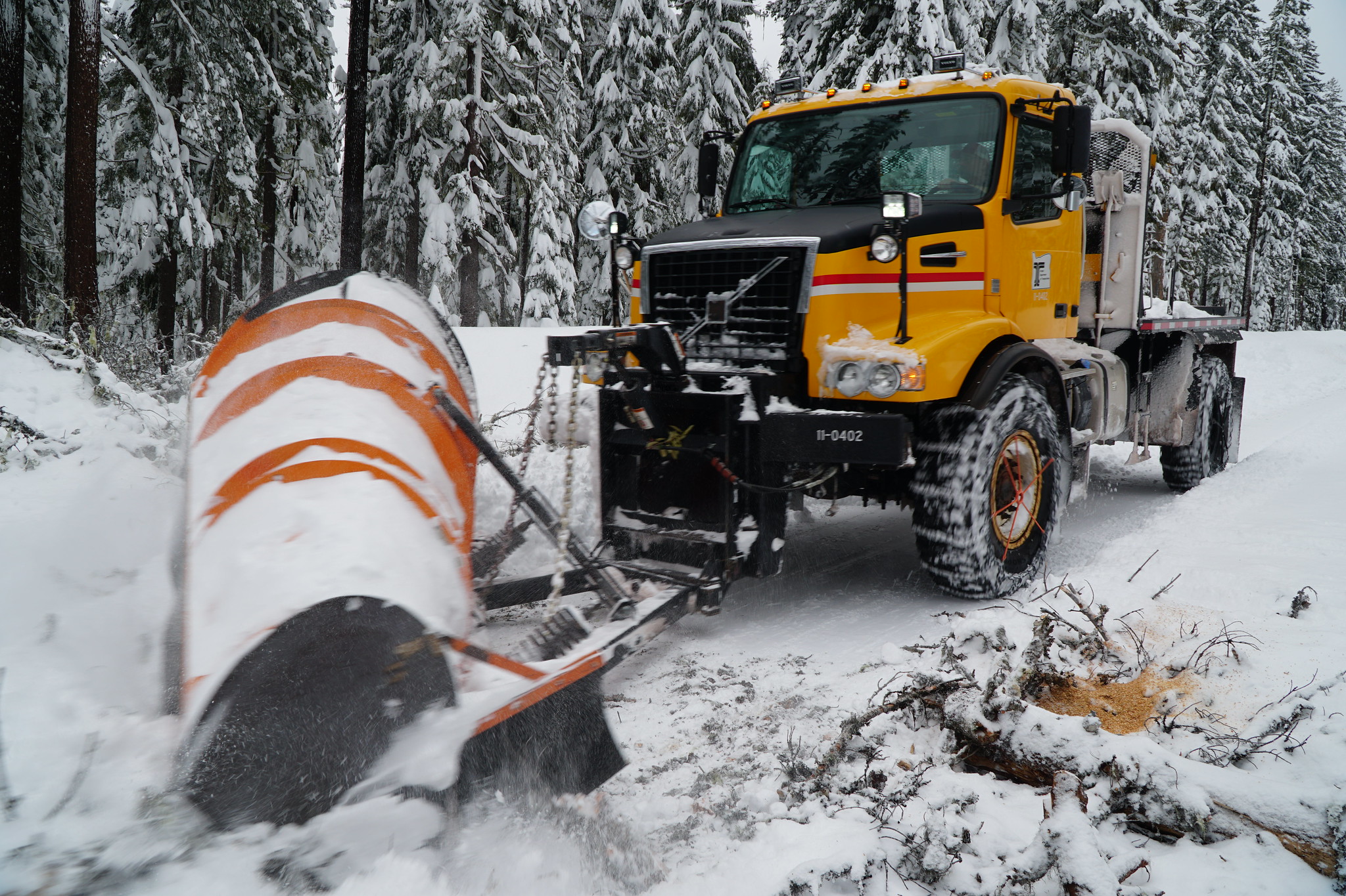
A winter weather advisory has been issued for Thursday in Oregon’s high mountain passes, marking the arrival of the first snow of the season. The National Weather Service (NWS) predicts between 4 and 7 inches of snow above 4,000 feet, which could affect travel through key routes like Santiam Pass (Highways 22/20), Tombstone Pass (Highway 20), Willamette Pass (Highway 58), and McKenzie Pass (Highway 242).
The NWS has also warned that lower-elevation roads in the mountains could become slick, particularly over bridges and overpasses. "Roads, and especially bridges and overpasses, will likely become slick and hazardous," the NWS alert stated. "Plan on slippery road conditions. The hazardous conditions could impact the Thursday morning and evening commutes."
In southern Oregon, areas above 4,500 feet in the Cascades could receive 1 to 4 inches of snow, according to NWS in Medford. This snowfall will also extend into Oregon’s backcountry alpine regions, impacting hunting and other recreational activities that are popular this time of year.
The advisory is in effect from 4 a.m. to 6 p.m. on Thursday. While this rain and snow will help bring an end to wildfire season across much of the state, some areas could still experience lingering fire risks.
Looking ahead, The Old Farmer's Almanac has predicted that Oregon could see a colder and wetter winter for 2024/2025. The forecast suggests that much of the Pacific Northwest, including Oregon, will experience above-average snowfall in higher elevations and possibly more frequent snow events in lower elevations as well. With the prediction of colder-than-normal temperatures, Oregonians may need to prepare for more severe winter storms as the season progresses. Snow and icy conditions could impact not only the mountain passes but also roads in lower-lying areas, leading to potentially hazardous travel conditions throughout the state.
Do you love Oregon?
Sign up for monthly emails full of local travel inspiration and fun trip ideas. In each newsletter we'll share upcoming events, new things to do, hot dining spots and great travel ideas.

