
Independent, source-first Oregon relocation guide
Oregon’s Homeless Hotspots in 2026 and the Areas to Know Before You Visit or Move
A citywide reputation will not tell you what a hotel block, neighborhood, park or commute corridor is actually like. This guide uses current official evidence to identify the Oregon locations where unsheltered homelessness and related public-space impacts deserve closer research—and the places where conditions are changing.
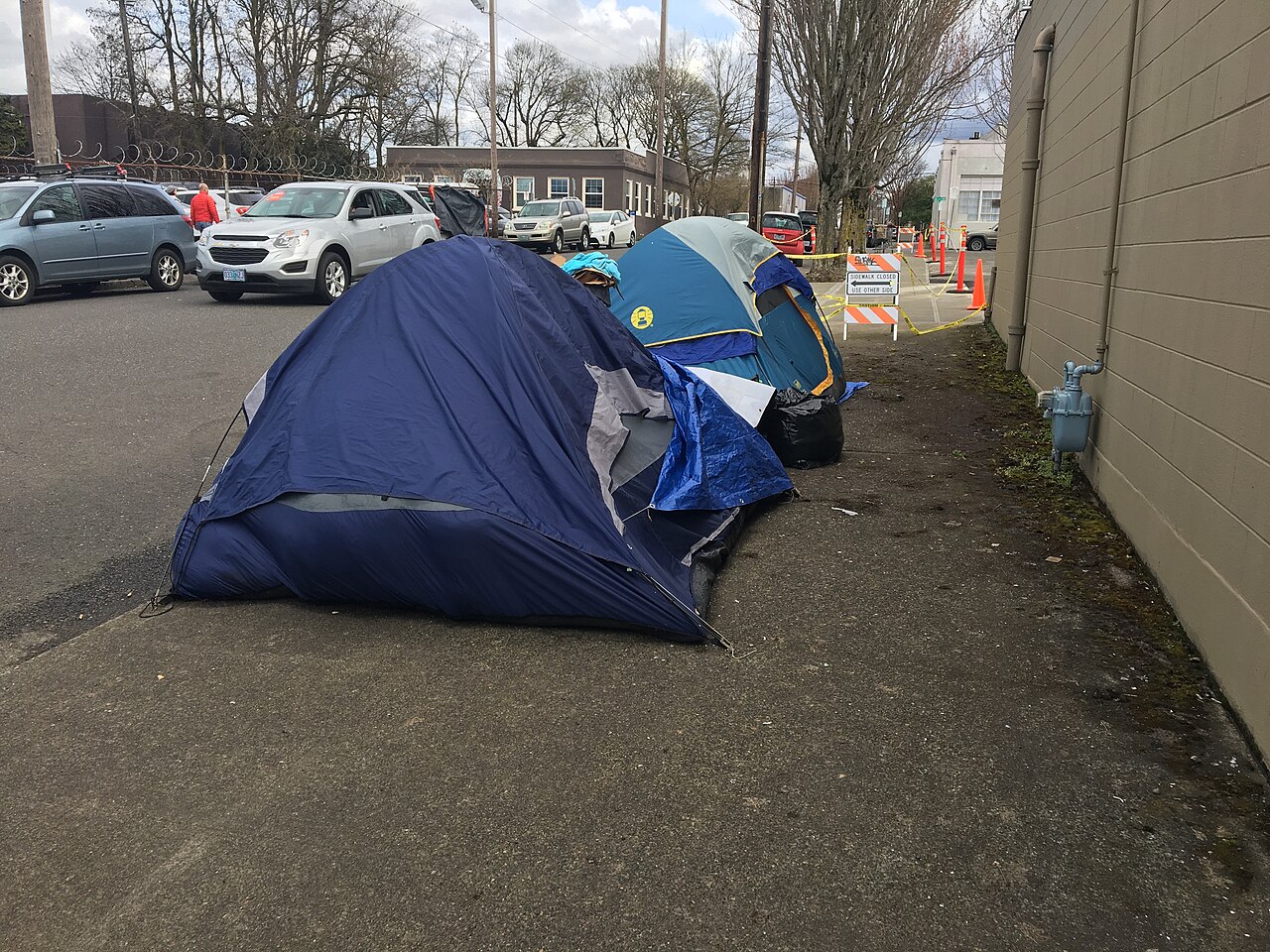
Hero image: tents in Northeast Portland, photographed in 2020 by Graywalls, via Wikimedia Commons, CC BY-SA 4.0. The image provides historical context and does not depict current conditions.
The short version
Where is homelessness most visible in Oregon?
Portland has Oregon’s largest documented concentration, while Eugene and Salem also have specific corridors and public spaces where unsheltered homelessness is especially visible. In Bend, Juniper Ridge is a serious but geographically distinct issue northeast of the visitor core. Grants Pass, Albany, Pendleton and Medford require more nuance because policies, locations or documented conditions have recently changed.
This is not a list of “bad cities,” and it is not a crime ranking. Most people experiencing homelessness are not dangerous. But persistent camps can affect sidewalk access, sanitation, fires, parking, park use and the daily experience of a nearby property. Visitors and future residents deserve accurate, specific information without treating homelessness itself as proof of danger.
There is no honest statewide “worst city” table
Oregon jurisdictions do not publish one standardized, real-time measure of encampment impact. Point-in-Time counts, service calls, campsite reports and cleanup records measure different things. We use the strongest current evidence available and label its limits instead of forcing unlike numbers into a misleading ranking.
| Place | Evidence status | Areas to research | Practical relevance |
|---|---|---|---|
| Portland | Closer look | Old Town-Chinatown, central city, parts of the Central Eastside; verify with live city maps | High for both visitors and movers near affected blocks |
| Eugene | Closer look | Highway 99, River Road, Whiteaker and West Eugene corridors | High for housing research; location-dependent for visitors |
| Salem | Closer look | Downtown, Wallace Marine Park, Marion Square, Front Street and parts of northeast Salem | Medium to high near named public spaces and service corridors |
| Bend | Location-specific | Juniper Ridge and nearby northeast Bend properties | Low for a typical downtown visit; high for immediately adjacent areas |
| Grants Pass | Changing | Confirm the status of unmanaged resting sites and Parker’s Place | Policy and site conditions have been changing |
| Albany | Verify now | Simpson Park area north of Talking Water Gardens | June 2026 cleanup evidence is historical, not proof of current conditions |
| Medford | Improving | Use current city updates rather than older reputation alone | City reported a sharp decline in illegal encampments |
| Pendleton | Policy watch | Review current maps, signage and city resting rules | A legal and policy transition, not evidence of Portland-scale conditions |
Status colors describe the strength and direction of the evidence—not the worth of a community, a blanket safety grade or the character of people without housing.
How we built this guide
Our methodology and what the data can—and cannot—tell you
We reviewed state and local government dashboards, program pages, cleanup records, policy updates and the newest comparable homelessness data available as of September 14, 2026. We looked for recent, location-specific evidence that is useful to someone choosing a hotel, rental, neighborhood or travel stop.
Evidence we considered
- Current city campsite-report, assessment and removal tools
- Named outreach corridors, parks and response locations
- Official encampment cleanup and public-space records
- Recent local program or ordinance changes
- Comparable state and local homelessness counts
Limits readers should understand
- A campsite report is not a verified crime report
- One camp does not define an entire neighborhood or city
- Point-in-Time counts are snapshots, not live inventories
- Different agencies use different definitions and methods
- Conditions can move quickly after outreach, shelter openings or enforcement
Older images on this page are clearly dated and used only to illustrate the broader Oregon story. They are never offered as evidence that a particular site looks the same today.
Portland
Oregon’s largest concentration requires block-level research
Portland and Multnomah County remain the center of Oregon’s homelessness crisis by scale. But even here, the useful answer is not “avoid Portland.” The conditions a traveler or homebuyer encounters vary dramatically between neighborhoods and sometimes between adjacent blocks.
Begin with the City of Portland’s homelessness data, campsite-report, assessment and removal resources. For trip and housing research, look closely at Old Town-Chinatown, the central city and parts of the Central Eastside, then verify the exact block around a hotel, apartment, parking garage or transit stop. A current city map is more useful than a viral video or an old citywide reputation.
Eugene
High unsheltered numbers and several named outreach corridors
Eugene’s own 2026 federal priorities document reported 3,427 people experiencing homelessness in December 2025, a 44 percent increase since January 2021. It said 64 percent were unsheltered. That is a substantial city-level signal and makes Eugene one of the most important places for detailed research before a move.
The city’s peer-navigation work identifies Highway 99, River Road, the Whiteaker and West Eugene as high-volume corridors. Eugene also says vehicle and public-property camping reports exceed response capacity, so it prioritizes conditions such as blocked access, fire risk, waste, environmental damage and immediate hazards.
For a visitor, this means checking the route and immediate lodging area rather than assuming every part of Eugene feels the same. For a future resident, spend time on the exact street and adjacent corridors; the neighborhood label alone can hide a meaningful difference.
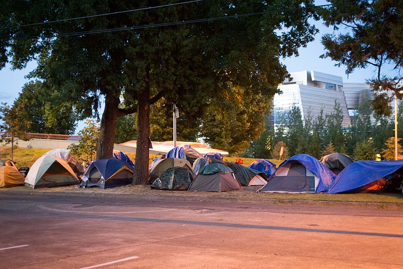
Source: City of Eugene, 2026 United Front Federal Priorities.
Salem
Named parks and central corridors matter more than a citywide label
Salem’s official public-space response material repeatedly names Wallace Marine Park, downtown, Marion Square, Front Street, Sunnyview and other response locations. These are more useful starting points than treating every Salem neighborhood alike.
The city’s broader safety program says downtown and northeast Salem generate higher police and fire response volumes. At the same time, its 2026 survey work reports improving perceptions of safety. Both can be true: some locations deserve closer inspection while the city’s overall trajectory or public experience improves.
What to do with mixed evidence
Use the named response locations to focus your research, then confirm whether the exact hotel, home, park or walking route is affected now. Do not convert a targeted city response into a blanket judgment about Salem.
Source: City of Salem, Safe, Clean and Healthy Salem.
Bend
Juniper Ridge is important—and geographically distinct
Bend’s Temporary Safe Stay Area covers roughly 170 acres in northeast Bend, east of U.S. 97 and west of the railroad. The city and Deschutes County extended operations through June 30, 2027.
That matters greatly to nearby properties, businesses and travel routes. It does not mean that downtown Bend or the Old Mill District is the same environment. Searchers asking about “homeless camps in Bend” need this geographic distinction; without it, a valid local concern becomes a misleading citywide impression.
The places where an old article can mislead you
Changing, recently cleared or improving Oregon locations
Pendleton
Pendleton replaced its resting ordinance in July 2026. A judge then dismissed a lawsuit challenging the prior law, while the city described plans for new signage, maps and a year-round warming center. This is a policy watch, not evidence that Pendleton has conditions comparable with Portland or Eugene.
Read the September 2026 city updateAlbany and Simpson Park
In June 2026, the Linn County Sheriff’s Office reported a significant cleanup north of Talking Water Gardens at Simpson Park after contacts and reports involving fires, assaults, stolen property and drug activity. That record establishes a serious recent event—not that the same camp remains today.
Read the June 2026 cleanup reportGrants Pass
The city has been moving away from unmanaged temporary resting sites as managed shelter capacity develops, including Parker’s Place. Verify which sites are operating before relying on an older article, map or court-era description.
Hear the city’s June 2026 updateMedford
Medford reported 186 illegal encampments in March 2023 and 13 in March 2026, alongside increased case support. That is one of the clearest documented improvements we found, though it does not guarantee every location is free of impacts.
Read Medford’s 2026 reportThe statewide picture
Oregon’s recent data includes real progress—and a major comparison warning
In June 2026, Oregon reported a 6.4 percent decline in unsheltered homelessness across 35 counties with comparable year-to-year counts. That is meaningful improvement. Multnomah County changed methodology, however, so its newer number cannot be compared directly with its prior count. Any article presenting one seamless statewide ranking without that caveat is oversimplifying the evidence.
Readers who want the underlying statewide material can use Oregon Housing and Community Services’ housing and homelessness data reports and the governor’s June 2026 progress update.
For movers, renters and homebuyers
How to research the exact Oregon property—not just the city
- Visit twice. Walk or drive the property, adjacent blocks, parking areas and nearest commercial corridor during both day and evening.
- Check current city tools. Use official campsite, service-request, cleanup or public-space pages where they exist. Look at dates and definitions.
- Research crime separately. Homelessness data is not crime data. If safety is your concern, use current police data and property-specific context.
- Inspect parks, transit and service corridors. These can experience conditions different from the residential interior of the same named neighborhood.
- Ask precise questions. Ask a landlord, seller or neighbors about blocked access, recurring cleanup, parking, fire calls and recent changes—not whether the entire city is “safe.”
- Recheck before signing. An outreach operation, shelter opening, enforcement change or camp movement can make a six-month-old article stale.
Direct answers
Oregon homelessness questions from visitors and future residents
Where is homelessness most visible in Oregon in 2026?
Current official evidence points to the greatest statewide concentration in the Portland area, with significant unsheltered homelessness and public-space concerns also documented in Eugene and Salem. Conditions vary block by block, and a visible encampment is not the same thing as a crime or safety finding.
Which Oregon city has the largest homeless population?
Portland and Multnomah County have Oregon’s largest documented concentration, although a local methodology change means recent Multnomah County counts should not be compared directly with earlier years.
Which Portland areas should visitors or movers research?
Start with the city’s current campsite-report and removal dashboards, then look closely at Old Town-Chinatown, the central city and parts of the Central Eastside. Conditions can shift, so verify the exact block near a hotel, rental or home.
Is homelessness a serious issue in Eugene?
Yes. Eugene reported 3,427 people experiencing homelessness in December 2025, up 44 percent since January 2021, and 64 percent were unsheltered. City outreach work identifies Highway 99, River Road, the Whiteaker and West Eugene as high-volume corridors.
Which Salem areas have documented homelessness impacts?
City response pages repeatedly identify locations including downtown, Wallace Marine Park, Marion Square, Front Street and parts of northeast Salem. Salem also reports improving public perceptions of safety, so review current block-level conditions rather than assume the whole city is the same.
Is downtown Bend affected by the Juniper Ridge encampment?
Juniper Ridge is in northeast Bend, east of U.S. 97 and west of the railroad. It is not downtown Bend or the Old Mill District. Its relevance is much greater for nearby properties and travel corridors than for a typical downtown visit.
Which Oregon communities show recent improvement?
Medford reported a large decline in illegal encampments—from 186 in March 2023 to 13 in March 2026. Oregon also reported a 6.4 percent decline in unsheltered homelessness across 35 counties with comparable year-to-year counts.
Does a campsite report mean an area is unsafe?
No. A campsite report documents a location or service concern, not proof that a crime occurred or that every nearby block is unsafe. Use separate crime data, recent in-person visits and property-specific research.
How current is this Oregon homelessness guide?
The guide was researched and reviewed on September 14, 2026. Conditions and local policies can change quickly, so it links directly to official dashboards, reports and city updates.
How should I research an Oregon neighborhood before moving?
Visit the exact property and surrounding blocks during the day and evening, check current city service dashboards, review crime data separately, inspect nearby parks and transit corridors, and ask property-specific questions instead of relying on a citywide reputation.
Primary-source library
Official sources used in this guide
Editorial note: This guide describes documented public-space impacts without equating homelessness with criminality. It will be updated when new comparable counts or significant local policy changes become available.