
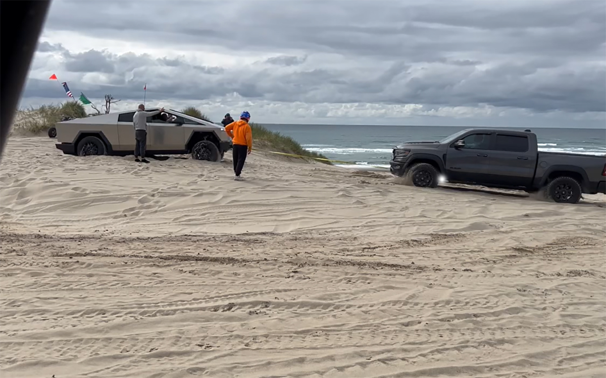
The Oregon Dunes are not a single pullout. They form a vast ribbon of shifting sand, forest islands, lakes, wetlands, beaches, campgrounds, and recreation areas along a large section of the coast. The experience changes dramatically depending on whether you choose a quiet hiking area, a lake edge, a beach route, or a designated off-highway vehicle zone.
At a glance
- Region: Central and Southern Coast between Florence and Coos Bay
- Best for: Immense dune views, hiking, lakes, paddling, photography, camping, and designated motorized recreation
- Plan for: Coastal weather, changing trail or road conditions, and extra time for unplanned viewpoints
Why this place belongs on your Oregon Coast trip
Wind constantly reshapes the dunes, creating open ridges, steep bowls, and surprising pockets of forest. Some places emphasize quiet foot travel and wildlife; others are built around motorized riding. Knowing the rules for the specific area you choose is essential, both for safety and for protecting sensitive habitat.
How to plan your visit
Decide on the activity before choosing the trailhead. Sand travel is tiring, landmarks can look similar, and wind may erase tracks. Carry water, save a map, and avoid walking into active riding zones. Vehicle access requires the right equipment, permits, and knowledge; ordinary road vehicles should never be treated as dune machines. Beach driving and fire restrictions vary.
Good coast rule: Treat posted closures, barriers, surf warnings, and changing weather as part of the landscape. Before leaving, check current conditions with the agency that manages the site.
What to bring
- Rain shell and a warm layer, even when town is sunny
- Shoes with traction for mud, roots, sand, or wet rock
- Water and a downloaded map or saved directions
- Binoculars or a camera for wildlife and distant views
- A flexible backup stop in case parking, fog, surf, or closures change the plan
Nearby places worth adding
Florence is the northern base, Reedsport sits near the middle, and the Coos Bay area serves the southern end. Lakes, the Umpqua River, and several coastal state parks offer alternatives when dune wind is strong. Give one chosen recreation area several hours rather than trying to sample the whole landscape in a day.
That Oregon Life stories to read next
Go deeper with reporting and guides already published by our Oregon writers:
- A Cybertruck Gets Stuck in the Oregon Dunes
- One of Oregon's Best Fall Hikes Winds Past 11 Waterfalls Near the Coast
- A Former Coast Guard Ship Is Now a Reedsport Seafood Restaurant
Conditions on the Oregon Coast can change quickly. Verify current access, parking, fire restrictions, tides, and closures before traveling.