There are places in Oregon where history whispers instead of shouts.
No crowds. No big signs demanding your attention. Just a narrow trail winding through towering trees, the soft hush of wind through redwoods, and the quiet understanding that something extraordinary once happened here.
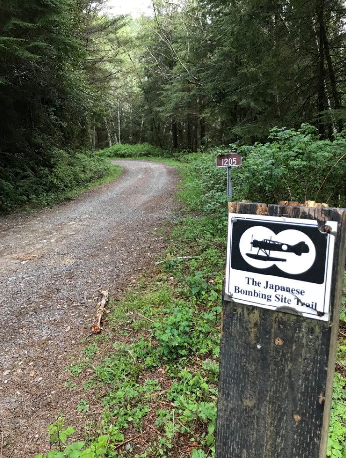
Tucked deep in the forests east of Brookings, Oregon lies one of the most surprising and little-known historical sites in the US. The Japanese Bombing Site Trail, also known as Trail #1118, is not just another scenic hike. It is the only place in the country where incendiary bombs were ever dropped on mainland United States soil during World War II.
And standing there today, surrounded by moss and silence, it almost feels impossible.
A Story That Feels Almost Unreal
On the morning of September 9, 1942, something remarkable happened above these trees.
Do you love Oregon?
Sign up for monthly emails full of local travel inspiration and fun trip ideas. In each newsletter we'll share upcoming events, new things to do, hot dining spots and great travel ideas.
A Japanese submarine surfaced off the southern Oregon coast. From its deck, a small floatplane was launched into the foggy sky. Its mission was simple, but chilling. The pilot carried two incendiary bombs, hoping to ignite a massive forest fire that would spread panic across the West Coast.
It was retaliation for the Doolittle Raid earlier that year.
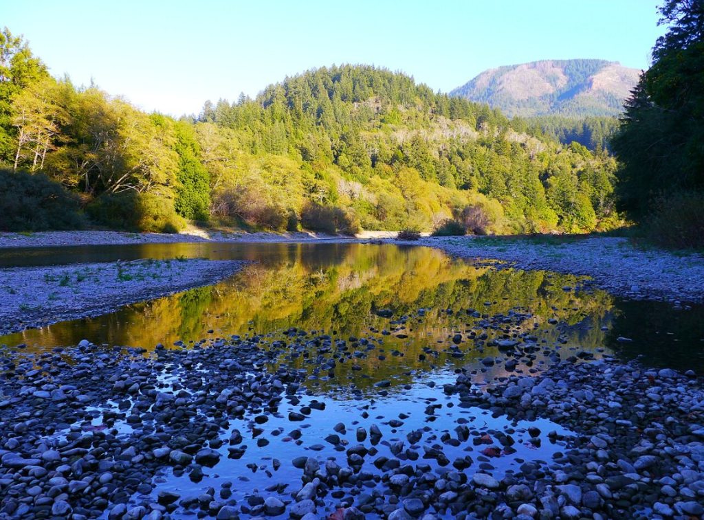
The plane flew inland toward Wheeler Ridge, following the winding Chetco River through dense forest. When the bombs were released, they disappeared into the trees below.
But Oregon had other plans.
Recent rain had left the forest damp and resistant. Instead of erupting into a wildfire, the explosions fizzled into small, manageable burns. A few lookout observers spotted smoke. Fire crews responded quickly. Within a short time, the threat was gone.
The attack that could have changed history… barely left a mark.
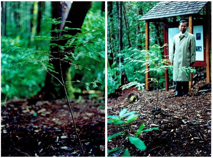
In 1992, Nobouo Fujita returned to plant a small redwood sapling near the original site of the bombing, which is now a State Heritage Tree. Read on for more of his legacy in Oregon.
Walking Through a Living Time Capsule
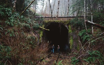
Today, the Japanese Bombing Site Trail invites you to walk directly into that story.
The trail itself is short and accessible, making it less about distance and more about experience. You are not here to conquer miles. You are here to feel something.
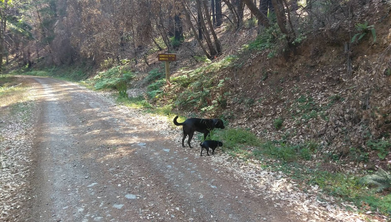
It begins quietly, just off a forest road, with little more than a sign and a path leading into thick greenery. Within moments, the outside world fades away. The air cools. The light softens. Ferns spill across the forest floor.
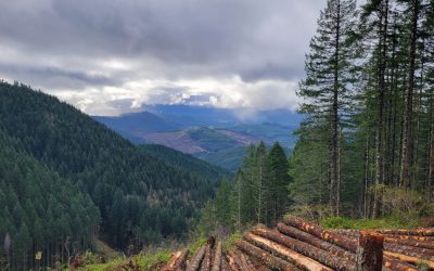
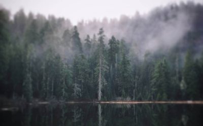
This is part of the Wheeler Creek Research Natural Area, a protected 330-acre landscape that preserves one of the northernmost stands of coastal redwoods in Oregon. These trees are rare here, existing right at the edge of their natural range.
There is something humbling about walking among them.
They were here before that plane ever crossed the sky.
They were here when the bombs fell.
And they are still here now.
The Bomb Site That Time Nearly Erased
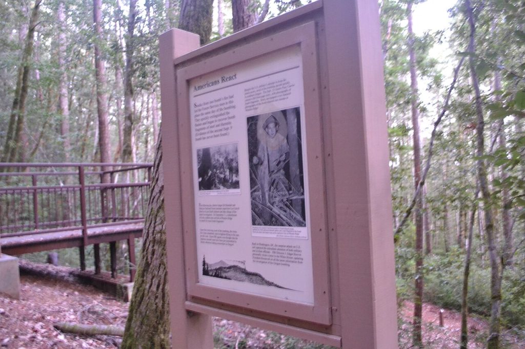
At the end of the trail, a small viewing deck overlooks the area where the bombs landed.
If you are expecting something dramatic, you might be surprised. There is no crater. No obvious scar. No towering monument marking the moment.
Just forest.
And that is what makes it powerful.
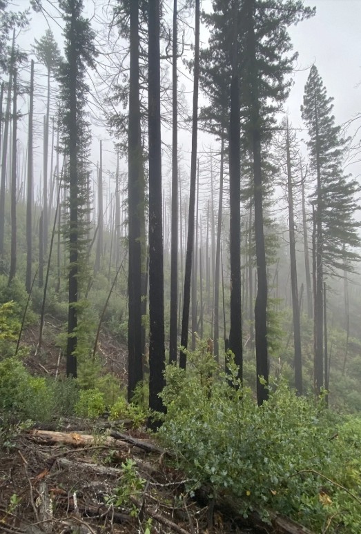
The land has healed so completely that you have to rely on imagination. Interpretive signs along the trail help fill in the story, guiding you through what happened here and why it mattered. You stand there, looking out over the trees, knowing that this quiet place was once the target of a wartime attack. And yet, it feels peaceful. Almost protective.
As if the forest itself refused to let history leave a wound.
Getting There (And What You Need to Know)
Reaching the trailhead takes some effort, but that is part of the adventure.
Due to storm damage in 2019, access has changed. Forest Service Road 1205, which once provided a more direct route, is closed in sections. To reach the trail today, you will need to take Forest Service Road 1107, also known as Winchuck Road, and connect to the upper portion of Road 1205 above the damaged areas.
Parking is limited. There is no large lot waiting for you. Instead, you will find space near the intersection of Forest Roads 1205 and 260. From there, it is a short walk, about 200 feet, to the start of the trail on the south side of the road.
It feels remote. Because it is.
And that remoteness is part of what keeps this place special.
Tips Before You Go
Alltrails has the best trail map available. Be sure to have the information with you before you go. If you are planning a visit, here are a few things to keep in mind:
- Check road conditions ahead of time. Forest roads can change quickly depending on weather and maintenance.
- Drive carefully. Expect narrow, sometimes rough gravel roads on your way in.
- Wear sturdy shoes. Even short trails can be uneven or muddy, especially in coastal forest environments.
- Bring water and snacks. There are no facilities nearby.
- Download directions in advance. Cell service can be unreliable in this area.
- Respect the land. This is both a natural preserve and a historic site.
More to Explore Nearby
If you want to deepen your experience, there are a few places around Brookings that help tell the full story.
A state historical marker stands near the north end of the Chetco River bridge along U.S. Route 101, close to the local botanical garden. It was placed in 1994 to commemorate the bombing and its place in American history.
Inside the Chetco Community Public Library, you can also find additional displays and information about the event, offering more context and personal stories tied to that day. Years after the bombing, Nobuo Fujita, the pilot who dropped the bombs, gifted the city of Brookings a Samurai sword as a symbol of goodwill between the United States and Japan. The sword is still on display today.

Taken together, these stops transform a short hike into a deeper journey through time.
Why This Trail Stays With You
Oregon is filled with incredible hikes. Waterfalls, coastal cliffs, alpine lakes, but this one is different. The Japanese Bombing Site Trail is not about dramatic views or bucket-list photos. It is about contrast.
A moment of war set against a landscape of peace. A plan for destruction that quietly failed. A forest that absorbed the impact and moved on.
There is something deeply human about that. You walk away thinking not just about what happened, but about what could have happened. About how close history sometimes comes to taking a different turn. And how, every once in a while, nature has the final say.
A Hidden Chapter of Oregon History
Most people will never visit this place.
They will drive the coast, stop at overlooks, maybe walk along the beach, never realizing that just a short distance inland lies one of the most unique historical sites in the country.
But if you do make the trip, you will carry it with you, because this is not just a trail. It's a reminder that even the quietest corners of Oregon have stories to tell.
And sometimes, those stories are far bigger than you ever expected to find.