
Oregon Coast seasonal guide · Updated September 2026
Oregon King Tides 2026–27
Plan around the 2026–27 King Tide windows, then check the local tide station, surf, weather, and access before you go.
← Back to the Oregon Coast guideStart with the honest answer
A date alone is not a King Tides plan
The published dates are coastwide observation windows. They do not mean the highest water arrives everywhere at the same hour, or that every day in the window will look dramatic. Astoria, Tillamook Bay, Depoe Bay, Newport, Coos Bay, and Brookings follow different local predictions.
The real plan has three parts: identify the window, find the high tide for the nearest reliable station, and check the day’s surf, weather, road, and park conditions. A calm astronomical high tide and a storm-driven ocean are very different experiences.
The official observation windows
Oregon King Tide dates for 2026–27
Save the window, then confirm the local peak before choosing your arrival time.
November 23–27, 2026
The first window of the season. Check the closest tide station and decide on an elevated viewpoint before leaving home.
December 22–26, 2026
A holiday-week window when parking and popular viewpoints may be busier. Have a backup location and respect every closure.
January 20–24, 2027
The final listed window. Winter weather and road conditions can change quickly, so recheck all sources the same day.
The distinction that matters
King tide, high surf, and storm surge are not interchangeable
A King Tide is an unusually high predicted astronomical tide created by the relative positions of the moon, sun, and Earth. High surf describes large breaking waves produced by swell. Storm surge and low atmospheric pressure can raise observed water above the astronomical prediction.
These forces can overlap. When a high predicted tide coincides with large swell, strong onshore wind, heavy rain, or elevated river flow, low-lying coastal areas can see water reach much farther. But a King Tide can arrive with modest waves, while dangerous high surf can happen outside every King Tide window. Never use a tide table as a surf forecast.
Choose the viewpoint before the water rises
Where to watch Oregon King Tides
There is no viewpoint that is safe under every condition. These are starting points because they offer established public viewing from higher ground or behind protective infrastructure. Closures and current conditions always win.
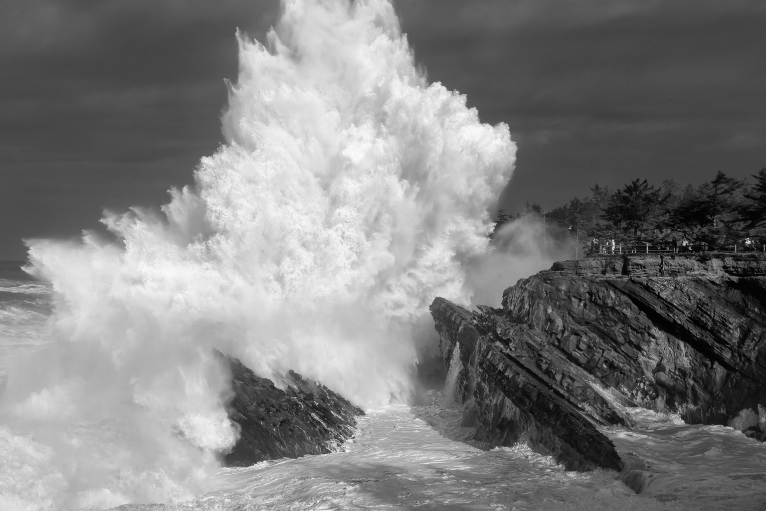
Shore Acres State Park
One of Oregon’s classic storm-watching settings. Stay in designated viewing areas and well away from exposed edges. Never cross barriers for a photograph.
Depoe Bay seawall
Public areas behind the seawall can show the ocean’s force without requiring beach access. Spray and overtopping can still occur; follow closures and keep back.
Cape Perpetua
Established high viewpoints offer scale and distance. Do not descend toward low rocks, Thor’s Well, or wave-washed features during hazardous conditions.
Yaquina Head
Use maintained paths and designated viewpoints, and follow ranger direction. Access, wind, and surf can change the practical choice.
Ecola State Park
Headland views can provide perspective when the park and approach roads are open. Check current state-park alerts before committing to the drive.
An elevated public overlook
The smartest location may be less famous: legal parking, a clear route back, firm footing, and enough distance that you never need to move as water rises.
Read the right prediction
How to find your local high-tide time
- Choose the place where you actually plan to stand.
- Find the nearest NOAA tide station—not merely a station with a familiar town name.
- Read the predicted high-tide time and height for that date.
- Allow time to park and reach your viewpoint before the peak.
- Check the National Weather Service forecast and active coastal advisories separately.
The go-or-no-go decision
What to check on the morning of your trip
Tide
Confirm the local peak time and whether the water is still rising during your planned visit.
Surf
Look for beach-hazard statements, high-surf advisories, and large-swell forecasts. Tide height does not describe wave behavior.
Weather and roads
Check wind, heavy rain, visibility, flooding, highway conditions, and park access. Be willing to change locations or stay home.
Your route back
Know where you will retreat before the water rises. Never rely on crossing sand, rocks, driftwood, or a narrow headland later.
More than a spectacle
What King Tides reveal about Oregon
The Oregon King Tides Project asks people to photograph exceptionally high water from consistent, recognizable locations. Those observations help show how water reaches roads, trails, homes, ports, bays, beaches, and estuaries under present-day conditions.
The images are useful because these events offer a glimpse of water levels coastal communities may face more often as sea level rises. A good contribution shows the water and a stable reference point, records the location and time accurately, and is made without entering a restricted or dangerous area.
Photograph without chasing the wave
A safer photography plan
- Compose from a position you can keep for the entire visit.
- Use zoom instead of moving toward the water.
- Keep the ocean in view, including between wave sets.
- Do not stand on logs, jetties, low rocks, or cliff edges.
- Keep children and pets beside you and away from the surge zone.
Use the source, not a guess
Build your trip from current information
These links cover the seasonal calendar, local predictions, forecasts, beach safety, and live visual context. They were checked for this September 2026 update.
The non-negotiables
Choose your view before the water rises
Never turn your back on the ocean. Stay off logs, jetties, low rocks, cliff edges, and beaches where incoming water can cut off the route back. Keep children and pets close, obey every closure, and leave if conditions change. A photograph is never worth entering the surge zone.
Frequently asked questions
Oregon King Tides FAQ
Direct answers for timing, safety, flooding, viewpoints, and photography.
When are Oregon King Tides in 2026–27?
The Oregon King Tides Project lists three coastwide observation windows: November 23–27, 2026; December 22–26, 2026; and January 20–24, 2027.
What time is the highest tide on the Oregon Coast?
There is no single Oregon-wide peak time. Use the NOAA station closest to your actual viewpoint. The predicted time and height can differ substantially between the Columbia River, outer-coast beaches, bays, and the South Coast.
Are king tides the same as high surf?
No. A king tide is an unusually high predicted astronomical tide. High surf is driven by swell and storms. They can overlap, but a calm king tide is possible and dangerous high surf can happen outside a king-tide window.
Where can I watch Oregon King Tides more safely?
Choose a designated, elevated viewpoint that is open that day. Shore Acres, established Cape Perpetua viewpoints, Yaquina Head, and public areas behind the Depoe Bay seawall can provide perspective when local conditions and closures allow.
Can I walk on the beach during a king tide?
Only if access and conditions allow. Incoming water can cut off the route back, and waves can move logs or reach rocks and jetties without warning. For observation, an elevated viewpoint is the better plan.
Do King Tides always cause flooding?
No. Flooding depends on local topography and on conditions such as wind, swell, atmospheric pressure, rain, and river flow. Low-lying roads, estuaries, and bays can respond differently from open-ocean beaches.
How early should I arrive?
Arrive early enough to park legally and settle into a safe viewpoint before the water reaches its predicted high. Do not begin from a beach-level position and count on moving later.
Can I submit photos to the Oregon King Tides Project?
Yes. The project invites observations that document the reach of high water. Take and submit photographs only from a safe, permitted location, following the project’s current instructions.
A little Oregon Coast to take home
Keep a reminder of the coast close with our Oregon Coast shirts, hoodies, and stickers, including the Coast Vibes and King Tides design, in the official That Oregon Life shop.