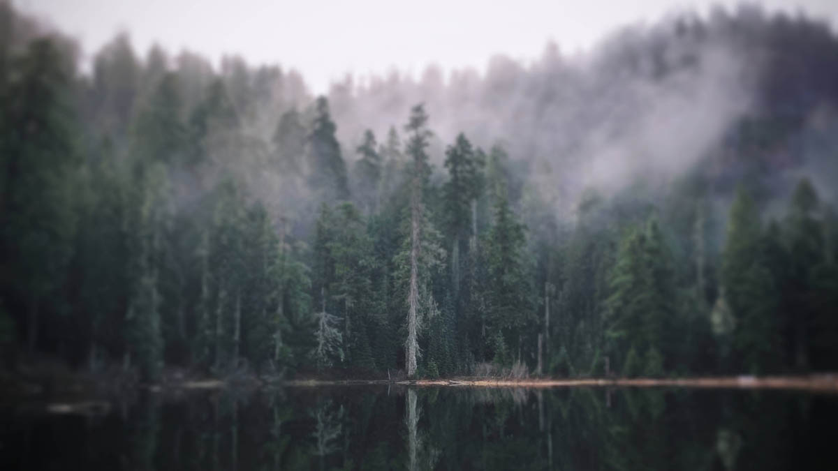
There are forests in Oregon that feel old, and then there are forests that seem to exist outside ordinary time.
Crabtree Valley belongs to the second kind.
Deep back in the western foothills of the Cascades northeast of Sweet Home, the valley doesn’t announce itself with a polished trailhead, a paved parking lot, or a wooden sign promising scenic viewpoints ahead. There are no gift shops, no reservation system, and no neatly maintained loop leading visitors from one designated attraction to the next.
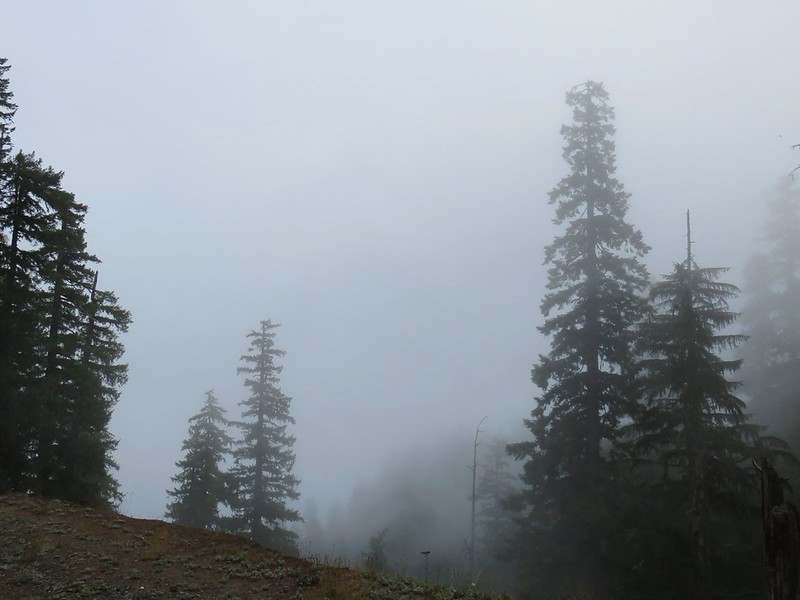
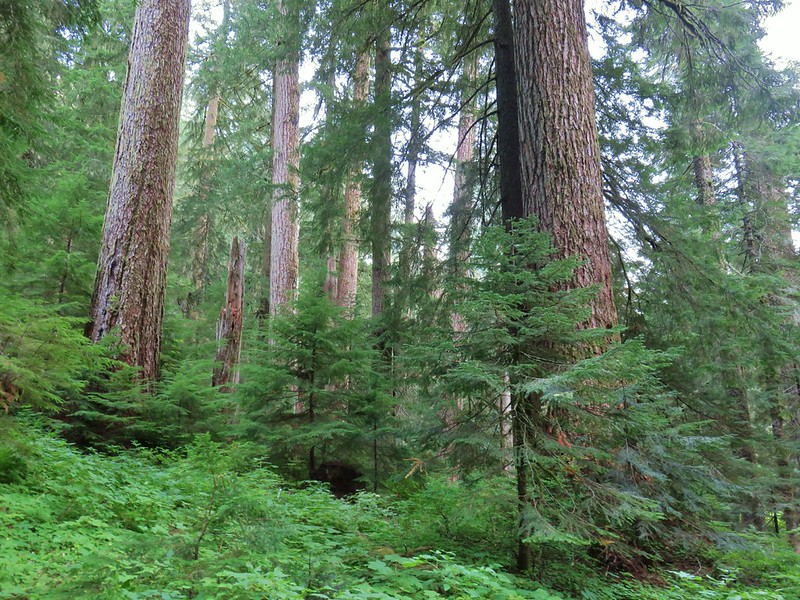
Instead, the journey begins on a maze of mountain roads and continues beyond a line of boulders, where an abandoned roadway disappears toward a secluded lake. The forest gradually closes around you. Sword ferns gather beneath immense trunks. Moss softens fallen logs, rocks, and branches. The air grows cooler as the route drops into the valley.
Somewhere below, Crabtree Lake rests inside a basin carved long ago by ice.
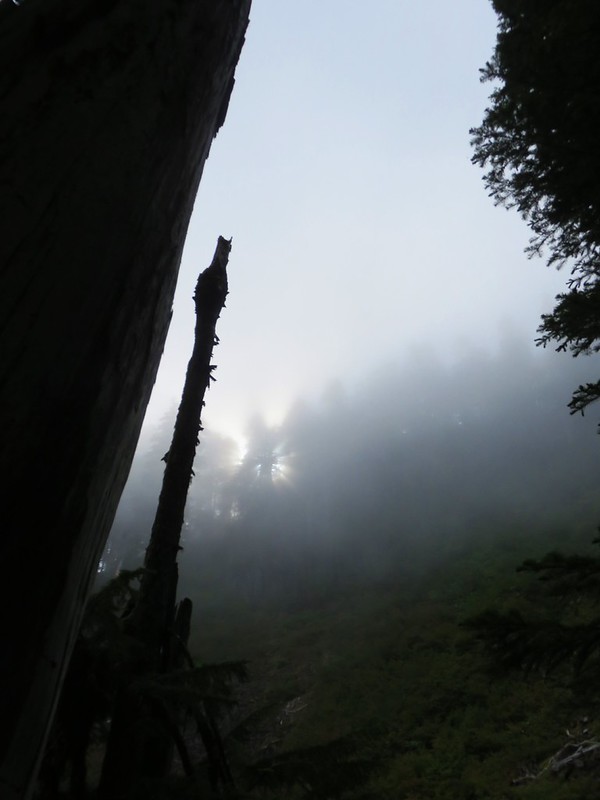
And somewhere beyond the recognizable route, deep in tangled, unmarked forest, stand two enormous Douglas firs known as Nefertiti and King Tut. Egyptian royalty, step-mother and son.
Finding the lake is a hike.
Searching for the trees is something else entirely.
A Hidden Valley North of Sweet Home
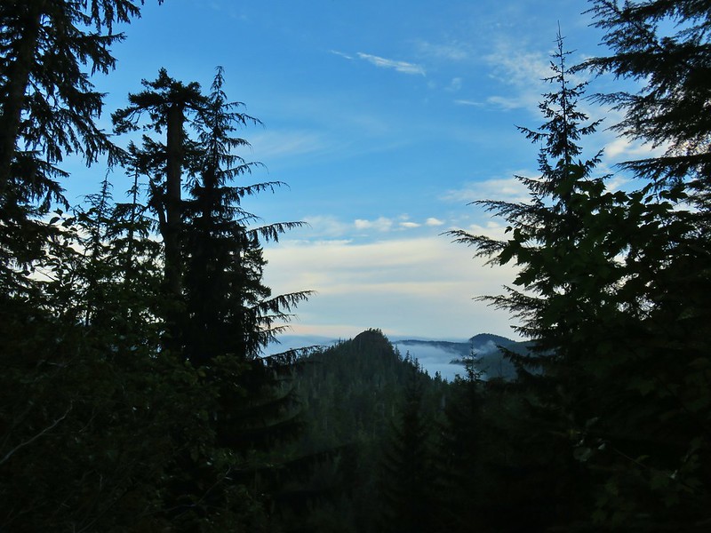
Crabtree Valley lies on Bureau of Land Management property in the Old Cascades, a landscape of weathered volcanic ridges west of the younger, sharper peaks that define Oregon’s Cascade skyline.
The drive from Highway 20 follows Quartzville Road into the mountains before turning onto a succession of lesser forest roads. Published directions place the trailhead roughly 28 miles from Highway 20, with the final approach ending near boulders at an old quarry. Road conditions can change substantially with storms, fallen trees, washouts, rockfall and agency work, so current conditions should always be checked before attempting the trip.
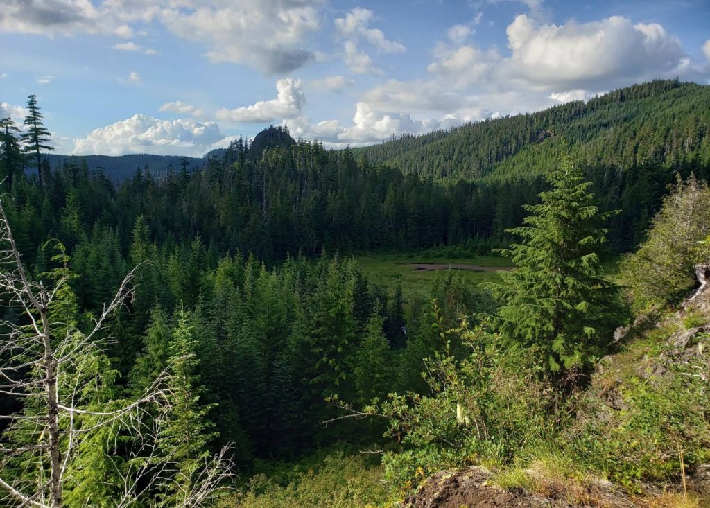
The commonly described Crabtree Valley hike is approximately 4.5 to 4.6 miles round trip, although mileage varies depending on the parking location, detours and exploration. Published accounts generally estimate somewhere around 800 to 950 feet of elevation change. Because the route descends into the valley first, hikers need to save enough energy for the uphill return.
William L. Sullivan featured the trek in the 4th edition of his “100 Hikes in the Central Oregon Cascades” guidebook, but even calling it a trail requires some explanation.
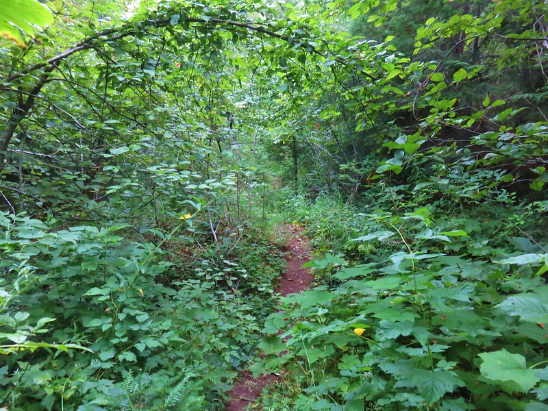
Much of the established route follows decommissioned or abandoned logging roads rather than a maintained footpath. Brush has begun reclaiming the roadbeds. Downed trees, loose rock and debris can interrupt the way, and conditions may be significantly different from one season to the next. The Oregon Hikers Field Guide specifically warns that the route isn’t regularly maintained and may include rockfall, fallen timber and encroaching vegetation.
From the blocked road, the route generally follows an old roadbed toward a viewpoint of Mt. Jefferson, and then drops for roughly a mile into Crabtree Valley. Near the bottom, hikers encounter old concrete barricades and additional abandoned road segments before reaching the lake. One route description places Crabtree Lake approximately 0.3 mile beyond the second barricade.
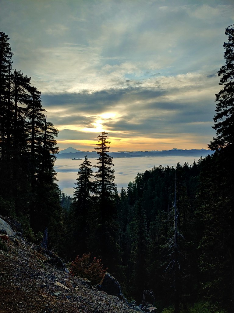
These old roads are remnants of the same timber landscape that makes Crabtree Valley so unusual.
The surrounding mountains have been extensively logged.
Roads cross the ridges.
Clearcuts and plantations appear beyond the surviving forest.
Yet inside the valley, protected, ancient trees remain.
The official That Oregon Life store
The Oregon you bring home.
Start the day with Oregon-roasted coffee, then find original gear inspired by the places, stories, and oddities that make this state ours.
Shop Oregon gear

The Forest That Time, and The Logging Industry, Passed By
Crabtree Valley isn’t untouched in the absolute sense. Roads reached its edges, and human decisions shaped what survived. But compared with much of the surrounding country, the central forest escaped the intensive logging that removed so many of western Oregon’s ancient stands during the 20th century.
Its survival appears to have resulted from a fortunate combination of geography, climate, land ownership, and conservation.
Crabtree Valley was carved by glaciers, which left behind steep slopes, wet ground and the basin now occupied by Crabtree Lake. Its sheltered topography and moisture helped protect portions of the forest from the major fires that periodically reset other Cascade landscapes. Oregon Wild reports that the steep valley walls and wet environment around the lake allowed pockets of ancient forest to survive without a stand-replacing fire for close to 1,000 years.
The result is a forest containing Douglas fir, western hemlock, western redcedar and other conifers in sizes rarely encountered along ordinary hiking routes.
The oldest trees didn’t simply grow faster than everything around them. They endured.
They survived centuries of windstorms, lightning, snow, insects, drought and fire. Some were already mature before European ships began regularly appearing along the Pacific Northwest coast. The oldest may have germinated when the medieval world still existed across the Atlantic.
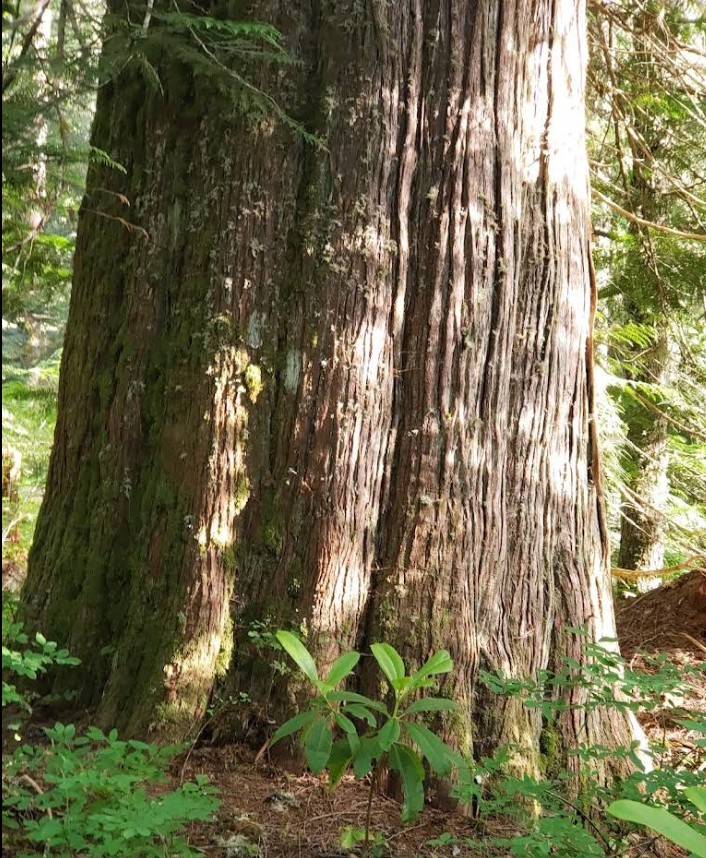
The valley’s modern protection story took shape during the late 20th century, when conservationists and land managers recognized the ecological significance of what remained. Oregon Wild describes a pivotal land exchange in the late 1970s that helped bring key acreage into federal ownership. The protected complex eventually encompassed approximately 1,251 acres as a Research Natural Area and an Area of Critical Environmental Concern.
Those designations matter.
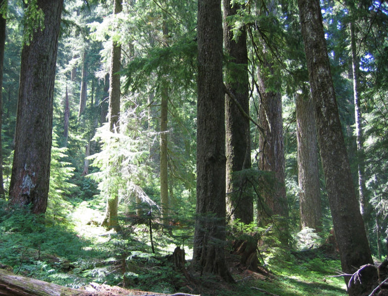
A Research Natural Area is generally intended to preserve representative or unusual ecosystems for scientific study, observation and education. An Area of Critical Environmental Concern, commonly shortened to ACEC, is a BLM designation used for places requiring special management because of important ecological, scenic, cultural or other values.
Neither designation turns Crabtree Valley into a national park or congressionally protected wilderness. But together they have helped keep the core ancient forest from being managed like ordinary commercial timberland.
For decades, that administrative protection gave Crabtree’s oldest trees something increasingly rare: more time.
The Lake at the Bottom of the Valley
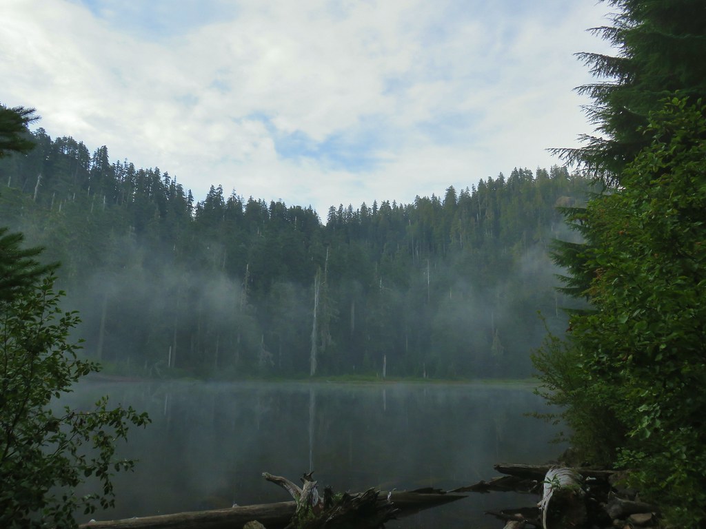
Crabtree Lake sits at approximately 3,500 feet in elevation, enclosed by forest.
It is not a broad alpine lake surrounded by exposed peaks.
Its appeal is quieter and stranger.
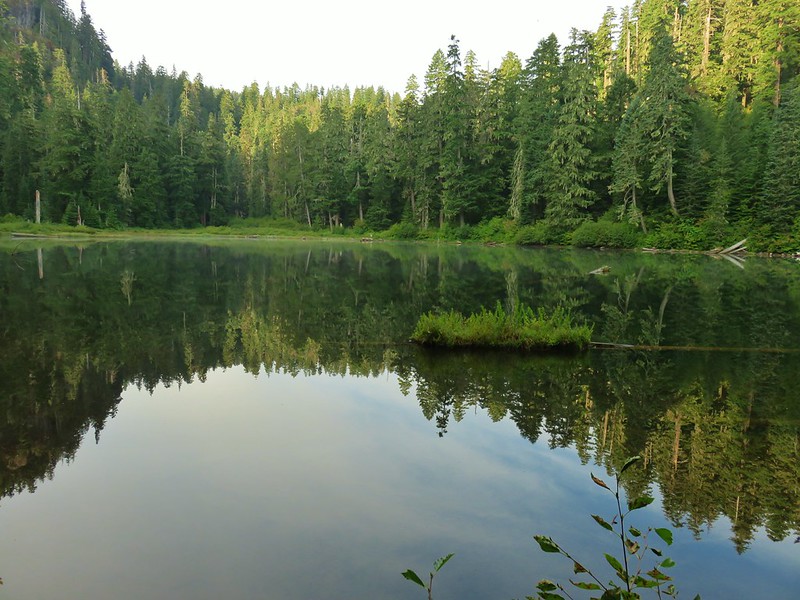
Trees gather close to the shoreline. The water reflects dark conifers and shifting pieces of sky. Depending on the season and hour, mist may hover over the surface or cling to the surrounding slopes. Rhododendrons and wetland vegetation crowd portions of the basin. Fallen wood lies in varying stages of decay, feeding the next generation of forest.
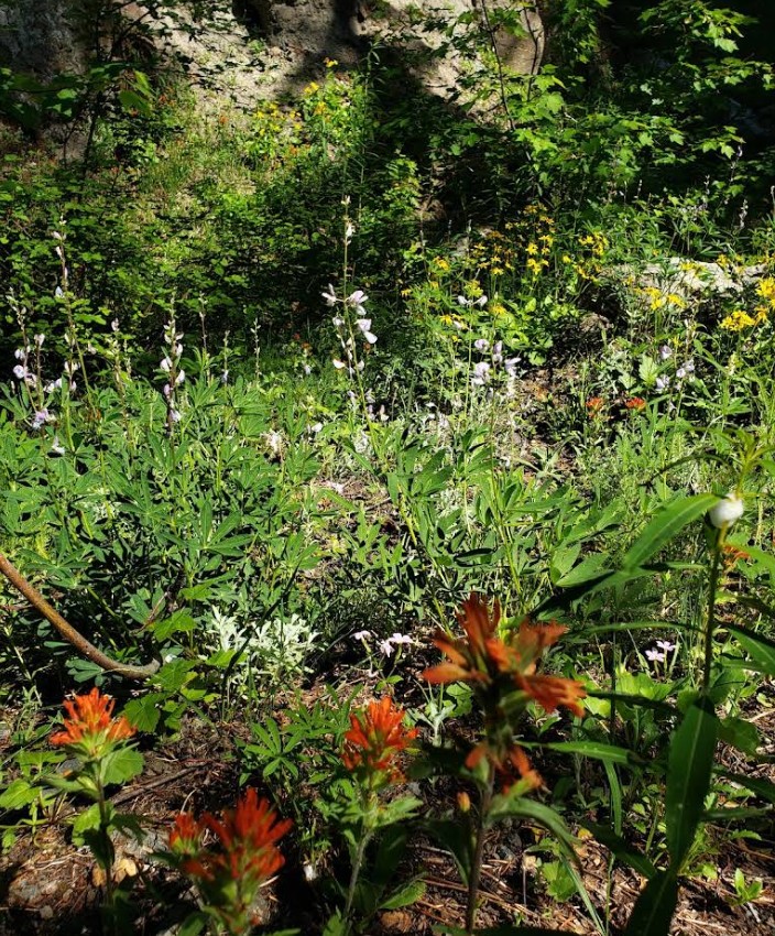
A profusion of native wildflowers bloom during the spring and summer months. Rough-backed newts skitter across the forest floor and into the water where river otters are known to live.
The old road approaches the lake through forest that is already impressive, but the most remarkable trees are not always obvious from the disturbed road corridor. One detailed route description notes that the abandoned roadway itself is not fully representative of the valley’s old-growth conditions. To understand the forest, visitors must look beyond the edges of the roadbed, where the ground has been less altered.
This is where scale begins to behave strangely.
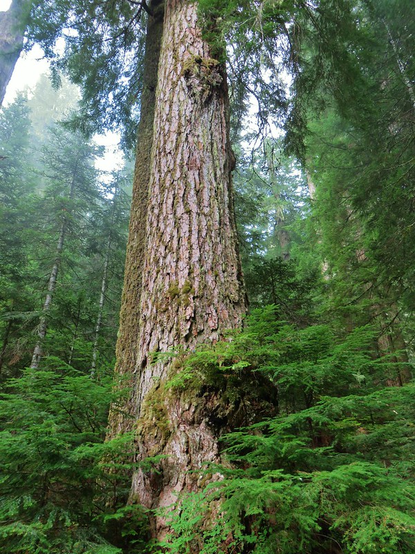
In an ancient forest, a six-foot-diameter tree may not immediately stand out. One enormous trunk overlaps another. Young hemlocks grow beneath trees that were ancient before the hemlocks existed. Broken-topped veterans rise beside younger firs competing for fragments of light.
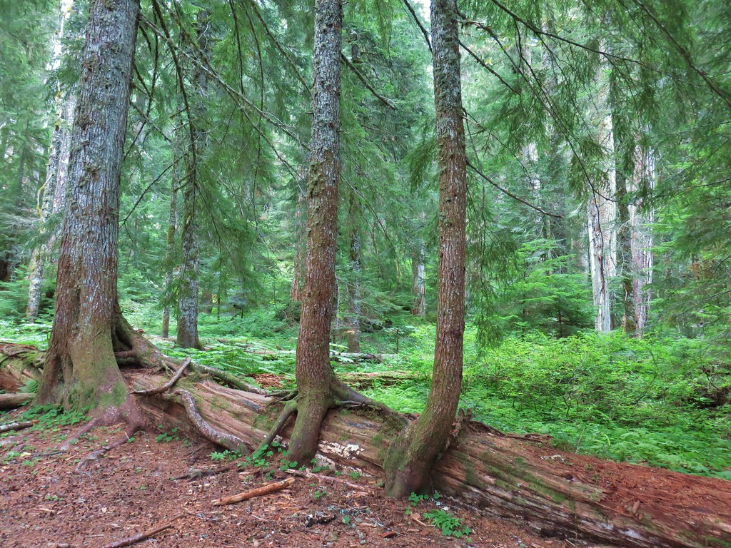
Distance becomes difficult to judge because the canopy is so high.
A tree can appear merely large until a person stands beside it.
Then the proportions become clear.
Nefertiti, the Ancient Queen Near the Lake
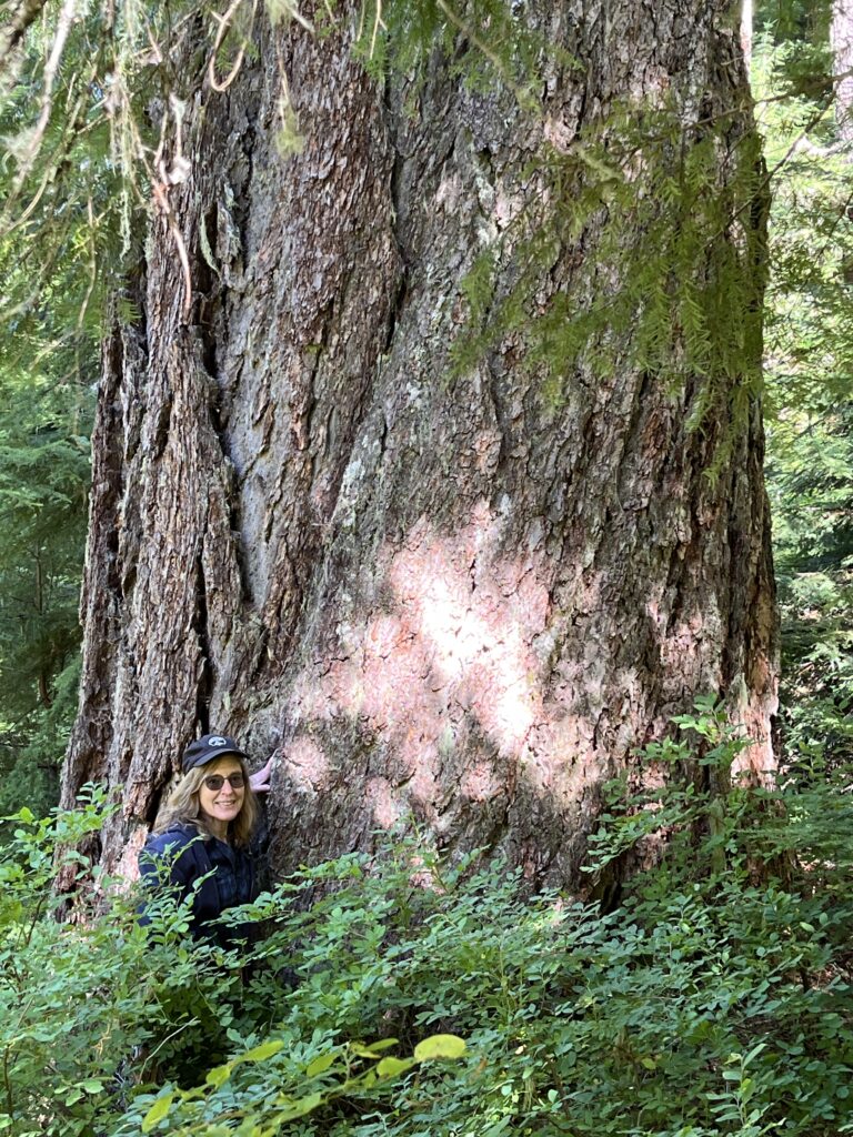
The more accessible of Crabtree Valley’s two legendary trees is usually called Nefertiti.
Accounts commonly describe Nefertiti as a Douglas fir roughly eight feet in diameter and approximately 270 feet tall, although measurements repeated in hiking guides should be understood as estimates rather than recent official survey results. The tree is said to stand relatively near Crabtree Lake, but “near” should not be mistaken for clearly marked or straightforward to locate.
There is no official Nefertiti Trail.
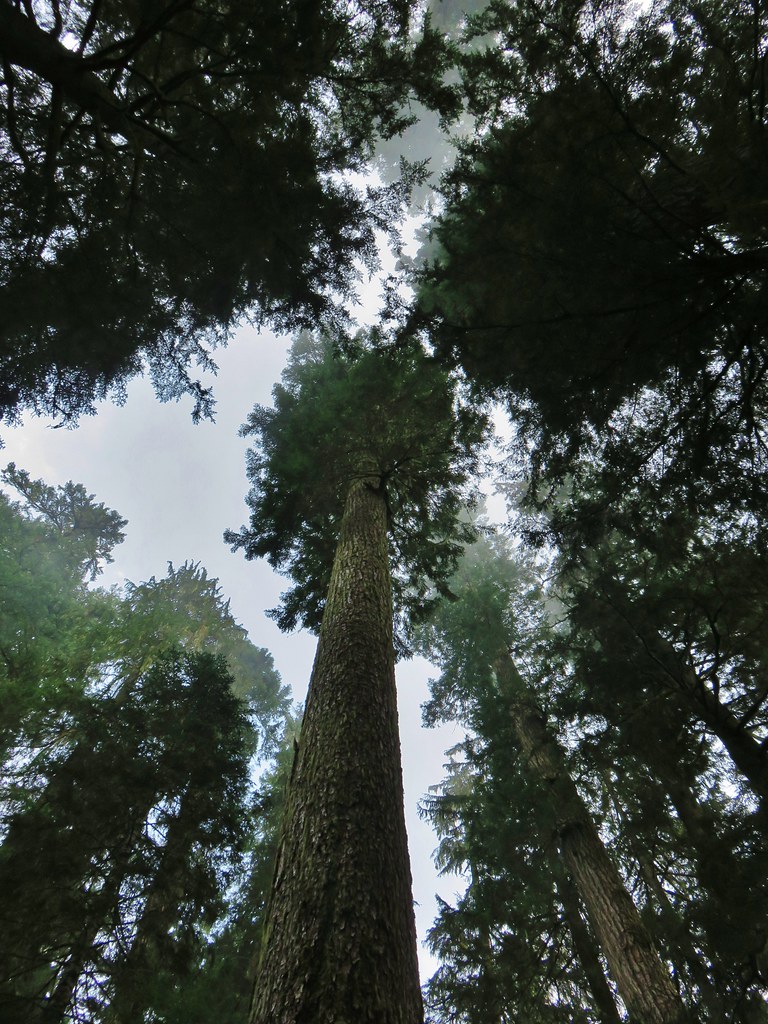
There may be faint signs that people have moved through portions of the area, but visitors should not expect a continuous path, arrows, tree tags or a sign reading “Nefertiti.”
The forest itself creates the difficulty.
Large trees obscure one another. Brush limits visibility. Satellite signals can become less precise beneath thick canopy and steep terrain. A coordinate may lead a hiker close to a tree without proving that the immense trunk in front of them is the named one.
That distinction is important because Crabtree Valley obviously does not contain only two large trees. The forest around the lake holds numerous old-growth firs and cedars of extraordinary size.
A visitor could find an enormous Douglas fir, photograph it, and return home convinced it was Nefertiti.
It might be.
It might also be another ancient tree with no widely known name at all.
Beyond the Hike, the Search for King Tut
King Tut is the more elusive legend.
The tree is generally described as an ancient Douglas fir measuring somewhere around nine feet in diameter. Estimates of its age vary widely, often ranging from approximately 600 years to as much as 800 or 1,000 years. Those numbers appear in hiking and conservation accounts, but there’s no publicly available, definitive tree-ring study establishing an exact date.
Its location is away from the maintained (or semi-maintained, at best) route to Crabtree Lake.
Like his Nefertiti counterpart, here is no King Tut Trailhead.
There is no reliable footpath that an ordinary visitor can simply follow from the lake.
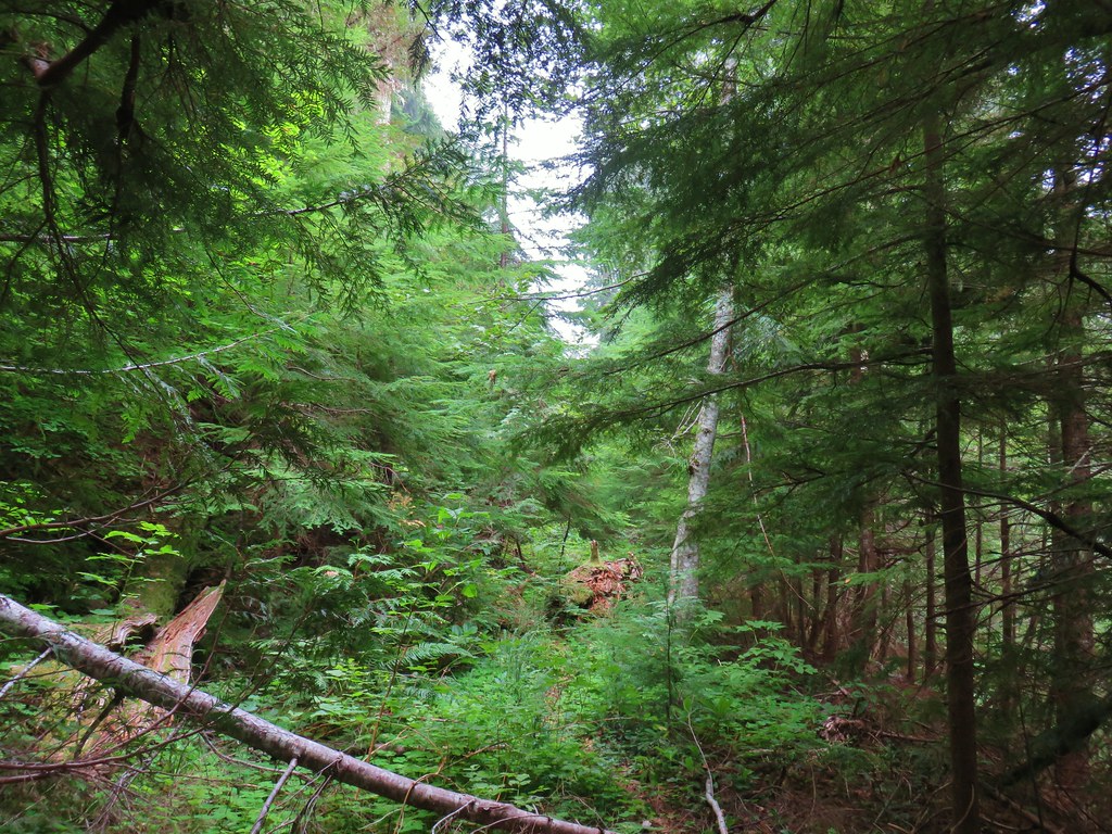
There are GPS coordinates circulating in hiking books, websites, mapping applications and personal trip reports. But coordinates aren’t the same thing as a trail. They don’t account for cliffs, wetlands, brush, fallen trees, unstable ground or the safest way through the landscape.
They merely identify a point.
Everything between the hiker and that point must still be negotiated.
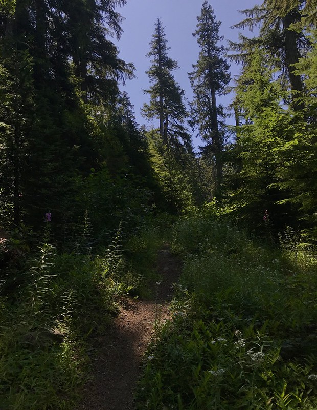
A 2019 account from Wandering Yuncks illustrates the problem well. The hikers carried GPS units and had prepared for a rugged off-trail route. They occasionally found what appeared to be a rough path, but it disappeared before reaching the tree. Their GPS information also disagreed, leaving them uncertain whether the enormous Douglas fir they ultimately reached was actually Nefertiti, and the same issue happened with King Tut.
GPS accuracy can degrade beneath dense tree cover, along steep slopes and inside narrow valleys. Devices might place a user within several yards of a coordinate under good conditions, but several yards in thick brush can conceal multiple massive trees. Coordinates copied between mapping systems can also introduce errors, particularly when different map datums, rounded numbers or incorrectly transcribed latitude and longitude values are involved.
Even a perfectly accurate coordinate doesn’t identify a tree unless the original coordinate was recorded accurately.
And there’s another problem: the forest changes.
Branches fall. Trees come down. Brush thickens. Openings close. Informal traces disappear. A route that someone pushed through five or ten years ago may be nearly invisible today.
At least one current hiking summary advises visitors not to attempt the King Tut route because years of vegetation growth have obscured what little route once even existed.
That is why the search for King Tut shouldn’t be advertised as an optional side trail.
It is an off-trail navigation undertaking in remote terrain.
This Is Not a Scavenger Hunt for Beginners
There is an understandable temptation to make King Tut the prize at the end of the adventure.
Find the coordinates. Follow the arrow. Take the photograph. Check the giant tree off the list.
Crabtree Valley doesn’t work that way.
–Anyone leaving the established lake route should be capable of navigating without depending exclusively on a phone. That means understanding topographic maps, terrain features, compass bearings and how to retrace a route when a digital track fails.
It also means knowing when to turn back.
–A phone just showing a blue dot can create a dangerous illusion of certainty. The destination might appear only a few hundred yards away, while the ground between contains dense vine maple, slick logs, hidden holes, marshy areas or slopes that can’t be safely crossed.
A straight line on a screen is almost never a real route through a forest.
–Off-trail travelers should carry a downloaded map that works without cell service, a separate power source, basic navigation tools, adequate water and food, first-aid supplies, insulation, rain protection and a light source. A satellite messenger or personal locator beacon adds an important margin of safety, but it does not turn an unsuitable person into an experienced navigator.
–Groups should establish a firm turnaround time before leaving the recognizable route. Someone outside the group should know the intended destination, vehicle location and expected return time.
Most importantly, hikers should be emotionally prepared not to find the named tree.
There is no shame in reaching the lake and stopping there.
There is no shame in beginning the off-trail search, encountering terrain beyond the group’s experience, and turning around.
There is no shame in standing beside a gigantic, unnamed Douglas fir and admitting that it may not be King Tut.
The forest doesn’t owe anyone certainty.
The Trees Are Unmarked for a Reason
The lack of signs can feel frustrating, but it may also protect the trees and the landscape surrounding them.
Creating a formal route to a famous ancient tree concentrates foot traffic. Repeated trampling can compact soil around roots, damage understory plants, widen muddy paths and encourage visitors to carve bark, remove souvenirs or climb onto fragile root systems.
King Tut is not an amusement-park attraction. It is a living organism whose roots extend through the very ground people would cross to reach it.
The absence of a marked trail also preserves some of the valley’s mystery.
You may pass trees that began growing before any written record of the region existed. They have no fancy plaques and no dramatic names. Their dimensions may never have been officially recorded.
King Tut and Nefertiti are the celebrities, but they are not the whole forest.
The deeper wonder is that a place still exists where an immense ancient tree can remain anonymous.
Visiting Crabtree Valley Without Loving the Place to Death
Crabtree Valley’s isolation is part of what has protected it, and visitors carry a serious responsibility not to turn increased attention into another form of damage.
–Stay on durable surfaces while following the established route. Avoid cutting switchbacks or creating shortcuts. Do not peel bark, carve trunks, build markers or tie ribbons to vegetation. Pack out every piece of trash.
–Around the lake, avoid trampling wet meadows and fragile shoreline plants simply to obtain a better photograph.
–Anyone traveling off-route should NEVER leave cairns, flagging tape or other markers that encourage a network of unofficial paths. Marking a route may feel helpful, but it can redirect future hikers onto unsuitable terrain and increase cumulative damage.
–Precise tree coordinates also deserve careful consideration before being published widely.
–There’s a difference between documenting that King Tut exists and broadcasting a pin to an audience that may not understand the terrain. In a landscape with no marked route and uncertain identification, exact coordinates can create more confidence than they deserve.
–The safest and most responsible story may tell readers how difficult the search is without presenting it as a downloadable treasure map.
–Above all, LEAVE NO TRACE.
An Ancient Forest With an Uncertain Future
For decades, Crabtree Valley’s Research Natural Area and Area of Critical Environmental Concern designations helped shield its ancient core from ordinary timber production.
Now those protections are no longer something visitors should take entirely for granted.
In February 2026, the Bureau of Land Management formally began revising the resource-management plans governing approximately 2.46 million acres of western Oregon federal land. The agency said it intends to increase sustained timber yield and examine an alternative that would manage eligible lands closer to their “maximum productive capacity”.
The Federal Register notice specifically states that existing Areas of Critical Environmental Concern will be reevaluated during the planning process. The Crabtree Complex Research Natural Area is among the existing protected areas affected by that broader review.
That does not mean King Tut has been marked for cutting.
It does not mean a timber sale has already been approved around Crabtree Lake.
And it does not mean the BLM has made a final decision to remove Crabtree Valley’s protected status.
The process is still unfolding.
But it does mean the administrative framework that helped preserve the valley is being reconsidered as the federal government seeks substantially greater timber production from western Oregon lands.
For Oregon’s struggling timber communities, the debate is tied to real mills, real jobs, county revenue and a wood-products industry that once sustained much of the state.
For conservationists, Crabtree represents something that cannot be recreated within the span of a career, a mortgage or even several human lifetimes.
A plantation can grow another crop of timber.
A tree that began growing 800 years ago cannot be replaced once it falls beneath a saw.
The Silence Before Part Two
Standing beside Crabtree Lake, the argument can seem far away.
There are no congressional hearings in the dark water. No agency reports in the mist. No mill closures in the soft decay of a fallen cedar.
There is only the slow work of an ancient forest.
Roots draw water from the soil. Fungi pass nutrients beneath the ground. Snags become habitat. Fallen trunks become nurseries. Trees that have survived centuries continue adding narrow rings of wood beneath deeply furrowed bark.
Somewhere beyond the lake, perhaps hidden behind a wall of vine maple and fallen limbs, King Tut is still standing.
Finding it is uncertain.
Its future may be uncertain, too.
In Part Two, we’ll examine the conflict now forming around Crabtree Valley: why the BLM wants more timber harvested from western Oregon, why family-owned mills are closing even while millions of acres remain federally managed, how the spotted owl era reshaped Oregon’s timber towns, and whether saving the industry truly requires opening ancient forests like this one to logging.