Sweet Creek Falls Trailhead to Sweet Creek Falls
0.8 miles round trip · about 350 ft
Shortest route to the main falls and the route this guide currently directs visitors to.

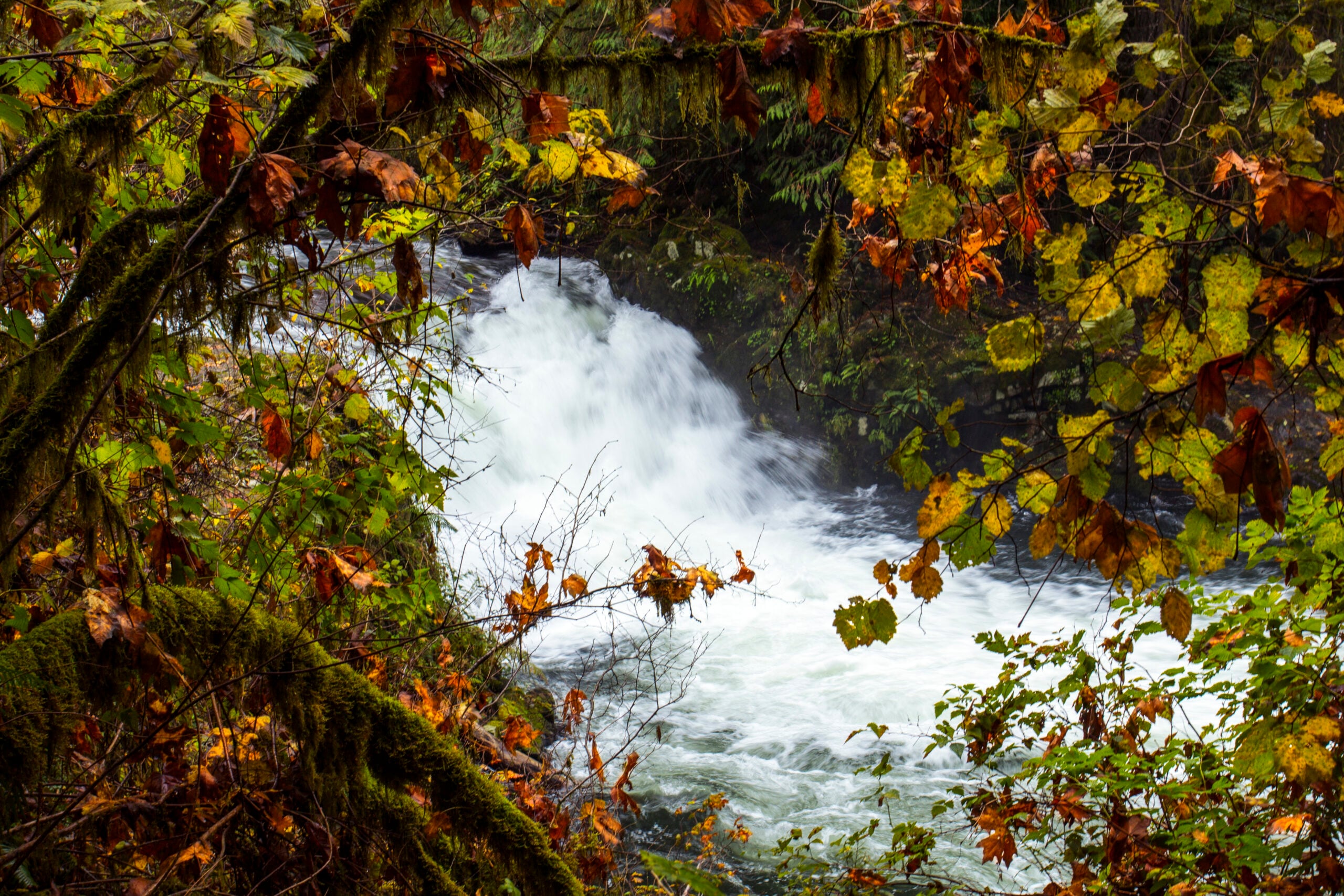 Photo by Bonnie Moreland
Oregon Coast and Coast Range · Near Mapleton
Sweet Creek Falls is a short walk waterfall outing near Mapleton in Oregon Coast and Coast Range. This guide rates the visit easy and collects the practical information available for planning responsibly.
The place
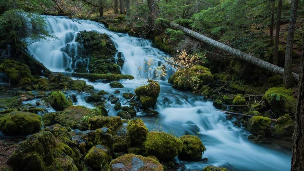
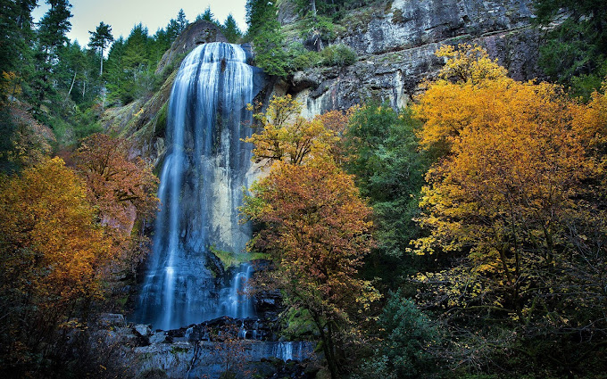
Sweet Creek Falls is the centerpiece of a forested trail network south of Mapleton, where Sweet Creek drops through a narrow Coast Range canyon in four main tiers. The 0.8-mile figure on this page is only the short, currently available out-and-back from the Sweet Creek Falls Trailhead; it is not the mileage for the full Sweet Creek corridor or the longer Homestead approach.
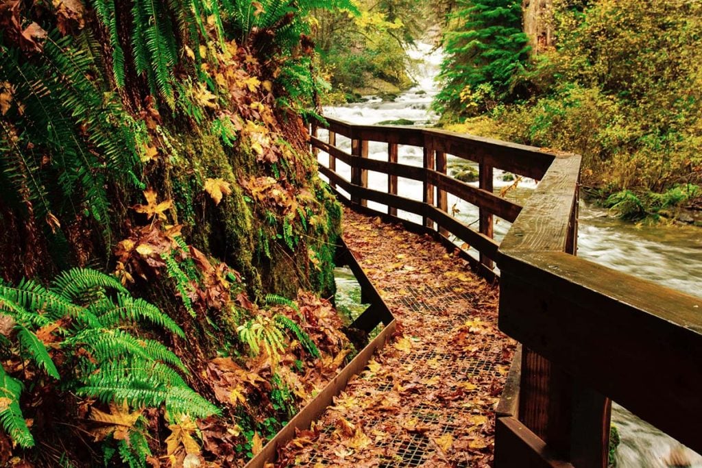
From the Sweet Creek Falls Trailhead, the approximately 0.8-mile round trip reaches the main falls on a damp, uneven forest trail with roughly 350 feet of gain. Expect roots, rocks, stairs, slick surfaces, and creekside exposure. The wider Trail #1319 corridor has several separately accessed sections; its routes are not interchangeable, and completing the full corridor can require unbridged creek crossings that are unsafe in high water.
Choose the right trailhead
These are separate out-and-back hikes, not pieces to combine casually. Conditions and closures can change which trailheads are available.
0.8 miles round trip · about 350 ft
Shortest route to the main falls and the route this guide currently directs visitors to.
2.2 miles round trip · about 350 ft
The popular creekside route passes smaller cascades, but its trailhead and damaged northern boardwalk segment are currently closed.
1.6 miles round trip · about 120 ft
A separate approach to a different viewpoint; use only when the signed route is open.
1.2 miles round trip · about 60 ft
Separate trail to the base of Beaver Creek Falls.
0.3 miles round trip · about 30 ft
Short route to a railed viewpoint. Do not descend to the base on unofficial terrain.
Planning a fall visit? Read our full feature on Sweet Creek as an autumn waterfall hike.
Visit details
No star ratings
The easy rating reflects the documented short walk access and approximately 0.8 mi round trip. Surfaces, weather, crowds, and seasonal closures can still create challenges.
Difficulty is a planning aid, not a guarantee. Snow, ice, heat, high water, trail damage, and individual ability can change the experience substantially.
Independent local picks
For Mapleton and remote Coast Range trailheads, Florence or Reedsport usually offers the most dependable services. These are editorial suggestions, not paid placements.
A central Florence riverfront base for Mapleton and Coast Range outings.
View current hours, reviews, and locationA locally established Old Town Florence restaurant serving regional seafood and other Northwest dishes beside the Siuslaw River.
View current hours, reviews, and locationRecommendations were editorially reviewed in September 2026. Businesses, quality, hours, prices, and availability can change; confirm current details before relying on a stop.
Keep exploring
Selected from the same practical road, park, or trail corridor and kept within a geographic guardrail. Fewer useful choices are shown instead of filling the list with distant places.

Make a day of it
Useful food, lodging, town, and attraction stories from the That Oregon Life archive.