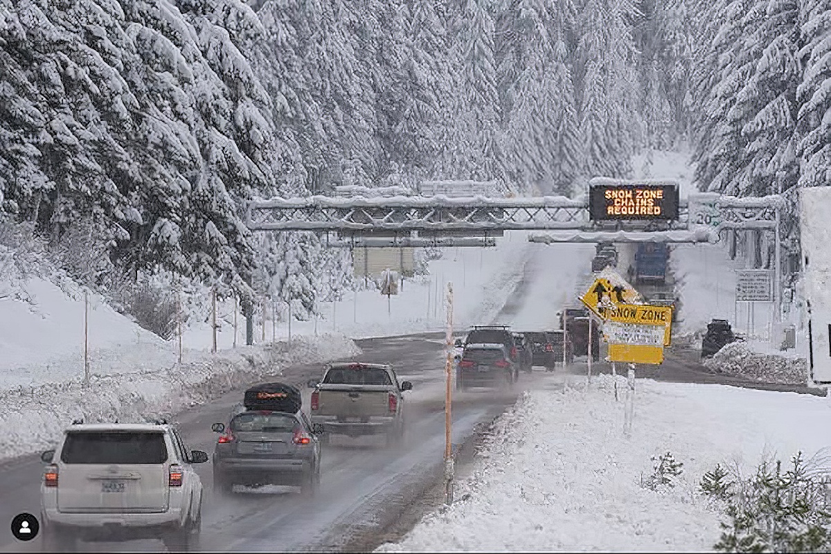
Power is out this morning for over 22,000 customers due to high winds. Mt. Hood is under an avalanche warning, and high elevations are expecting up to 2 feet of snow.
As the holidays wind down and people begin to travel home after visiting loved ones, Oregon faces tough travel conditions with heavy rain, strong winds, and mountain snow creating hazards across the state. Travelers should prepare for delays, dangerous roads, and power outages as inclement weather continues through Friday. Here’s what to expect and where to be cautious.
Heavy Rain And High Winds
Where: Portland metro area, northern Oregon Coast, and much of western Oregon.
Conditions: Winds up to 45 mph are hitting many areas this morning, tapering to 10-25 mph later in the day. More than an inch of rain fell overnight, causing pooling on roads and low visibility in some areas.
Impacts: Power outages are widespread, with over 22,000 customers without electricity as of this morning around Seaside and the Portland metro area. Highways like Highway 6 to the coast saw closures due to downed power lines, though most have reopened as of this morning.
High Elevation Snow And Wind
Snow Totals:
- Above 4,000 feet: Up to 10 inches of snow in some areas.
- Above 5,000 feet: 12-24 inches, with localized amounts near 30 inches (e.g., Crater Lake).
- Eastern Klamath and Lake Counties: 3-14 inches of snow expected through early Friday morning.
Wind: Gusts of 35-70 mph in higher elevations.
Avalanche Risks
Mt. Hood is under a high avalanche danger through Thursday evening due to heavy snow and strong winds, making backcountry travel extremely hazardous.
Other Winter Weather Alerts Around Oregon To Be Aware Of
Winter Weather Advisories
Areas: Northern and central Oregon Cascades, South Washington Cascades, and Ochoco-John Day Highlands.
- Duration: Until 4 PM Thursday for some regions, and until Friday morning for others.
- Expected Conditions: Moderate snowfall and gusty winds causing slippery roads and reduced visibility.
Winter Storm Warnings
Areas: East slopes of the Oregon Cascades and higher elevations in southern and eastern Oregon.
- Duration: Until 10 PM Thursday or later, depending on location.
- Expected Conditions: Heavy, wet snow and gusty winds up to 45 mph, making travel hazardous and potentially stranding drivers.
Precautions for Travelers
If you must go out Thursday December 26th, 2024 and Friday December 27th, 2024 in the affected areas:
- Check road conditions and closures at TripCheck.com before traveling.
- Carry tire chains and an emergency kit, including blankets, water, and non-perishable food.
- Delay trips to avalanche-prone areas and avoid unnecessary travel in mountain regions.
Check here, and here, for more detailed winter weather advisories and alerts around Oregon for December 26th and 27th, 2024.
Stay up to date with the latest Oregon news with That Oregon Life.


