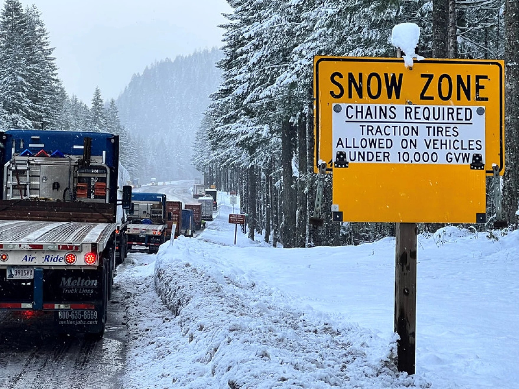
The National Weather Service has issued a Winter Storm Warning for the Oregon and southern Washington Cascades as a powerful midweek system barrels into the mountains. The warning takes effect Tuesday morning and runs through Thursday afternoon, upgrading what had previously been a winter storm watch.
And this one isn’t messing around.
Forecasters say up to two feet of snow could pile up along higher elevations and mountain passes, turning travel into a slow, white-knuckle experience. Gusty winds—clocking in at up to 40 mph—may whip snow across roadways, creating periods of near-zero visibility and downright treacherous conditions.
The heaviest snowfall is expected to kick off Tuesday afternoon, continuing into Wednesday morning, before settling into persistent snow showers through Thursday. Relief should arrive just in time for the weekend, when a drier pattern is forecast to move in.
Drivers planning any mountain travel should be ready for delays and changing conditions. Chains are strongly recommended, and patience will be required.
The timing is notable. This storm follows one of the latest ski season starts in decades, along with record-low snowpack across the Cascades—making this system a much-needed boost for snow lovers, water supplies, and ski areas alike.
As always, conditions can change quickly in the mountains. Keep an eye on updates from the KOIN 6 weather team if you’re heading into higher elevations, and consider postponing travel if you can.
Winter has officially entered the chat. ❄️


