Northwestern Oregon, in the United States, is home to the Clackamas River, an approximately 83-mile (134 km) tributary of the Willamette River. A river with a drainage area of approximately 940 square miles, the Clackamas passes through mostly forested and rugged terrain in its upper reaches and through agricultural and urban areas in its lower reaches.
Around 55 miles (89 km) east-southeast of Salem, the river rises in eastern Marion County. At an elevation of 4,909 feet (1,496 meters), on the slopes of Olallie Butte in the Mount Hood National Forest, about 10 miles (16 km) north of Mount Jefferson, the Clackamas flows briefly north and then northwest through the mountains, passing through North Fork Reservoir and Estacada. After emerging from the mountains southeast of Portland, it joins the Willamette near Oregon City, which forms the boundary between Gladstone and Oregon City.
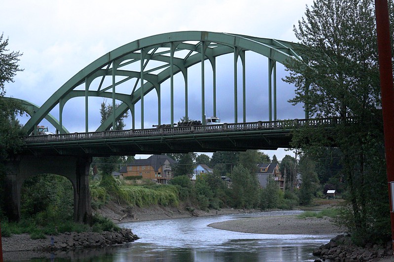
John McLoughlin Bridge over Clackamas River, on Hwy 99E between Gladstone & Oregon City. Photo by brx0 / Flickr
Hydroelectric power and drinking water are provided by the Clackamas, and the river supports Coho salmon, spring and fall Chinook salmon, and summer and winter steelhead runs. Its old-growth forests, habitat for various species of birds, healthy fish runs, and recreational opportunities, such as fishing and whitewater rafting, led the National Wild and Scenic Rivers System (NWSRS) to designate more than half of the river's length. The river's basin was also settled 10,000 years ago by Native Americans because of this environment.
Cazadero Dam was constructed in 1905. River Mill Dam was constructed in 1912, intercepting wood and coarse sediment. Later dams intercepted wood sediment on the lower river at North Fork, Oak Grove, Stone Creek, and Timothy Lake.